Driving the "Golden Circle" from Whitehorse, YT on the Alaska Highway, Haines Road and Klondike Highway. #amazing #adventure
Whitehorse
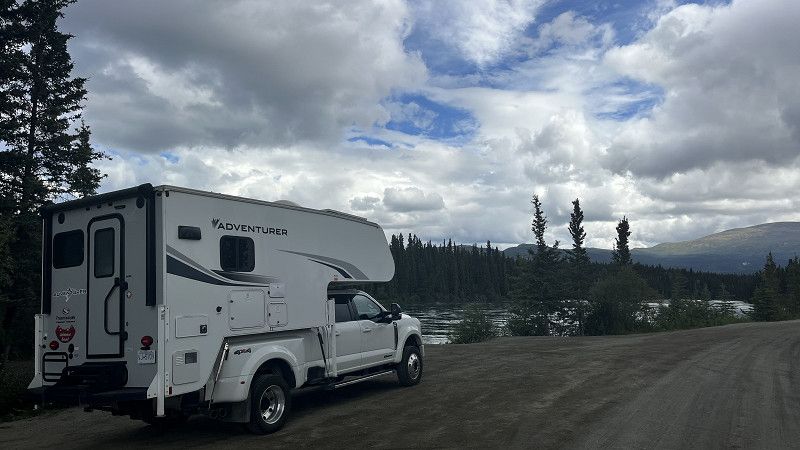
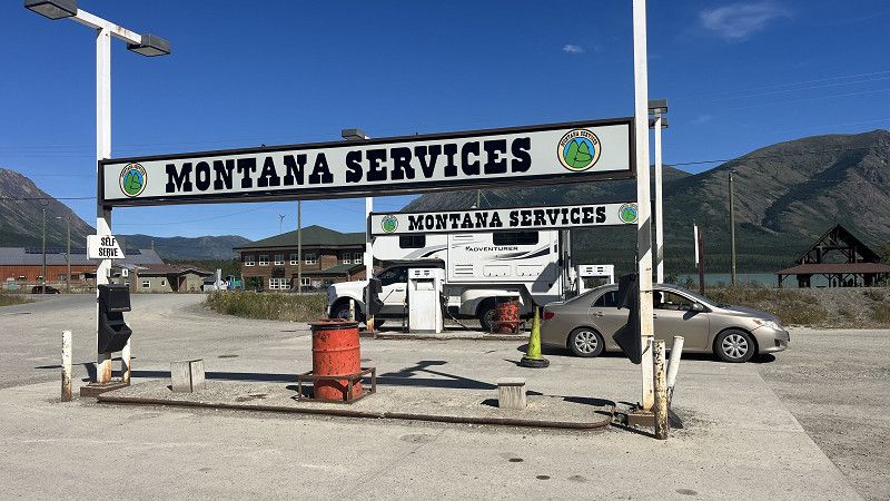
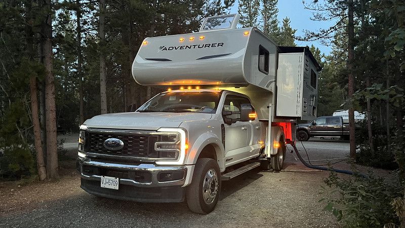
We started our journey from Whitehorse, renting a Truck Camper from Fraserway RV.
Front Avenue, Whitehorse, Yukon, Canada
60° 43' 10.1" N 135° 3' 0.2" W
60.7194646 -135.0500502
• Ga naar het zuiden op de 1st Ave. Rij 28 m door.
• Sla rechtsaf de Elliott St in. Rij 121 m door.
• Sla rechtsaf de 2nd Ave in. Rij 1.7 km door.
• Sla rechtsaf de Two Mile Hill Rd in. Rij 1.7 km door.
• Houd rechts aan richting Alaska Hwy/HWY-1 N/HWY-2 N. Rij 124 m door.
• Rij verder op de Alaska Hwy (HWY-1 N/HWY-2 N). Rij 11.6 km door.
• Sla rechtsaf de Klondike Hwy (HWY-2) in. Rij 55.6 km door.
• Sla linksaf. Rij 19 m door.
• Uw bestemming bereiken aan de rechterkant.
☍
70,8 km
( 48 min.)
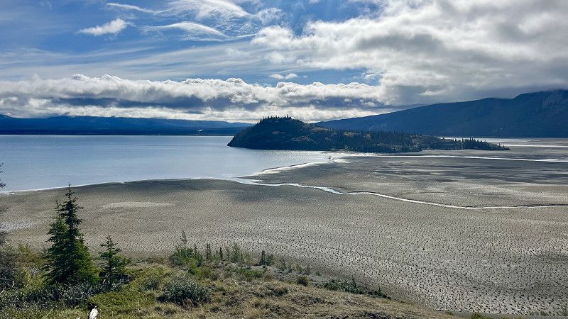
Fox Lake Campground
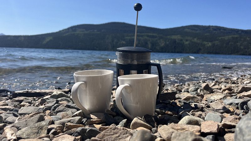
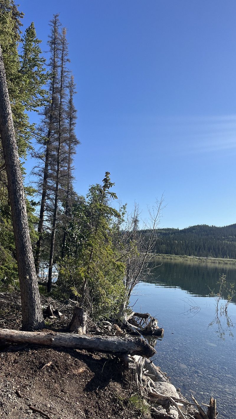
A very nice state campground on the shore of Fox Lake, having a beautiful pebble-beach along the Klondike Highway, about 50 minutes north of Whitehorse.
Klondike Highway, Yukon, Canada
61° 14' 44.5" N 135° 27' 39.2" W
61.2457083 -135.4608973
• Ga richting Klondike Hwy. Rij 19 m door.
• Sla rechtsaf de Klondike Hwy (HWY-2) in. Rij 55.6 km door.
• Sla rechtsaf de Alaska Hwy (HWY-1) in. Rij 52.0 km door.
• Sla linksaf de Kusawa Lake Rd in. Rij 14.7 km door.
• Sla rechtsaf. Rij 10 m door.
• Uw bestemming bereiken aan de linkerkant.
☍
122,2 km
(1 uur 27 min.)
Takhini River Campground
Just 12 spots, about 14km on a gravel road, south of the Alaska Highway.
Kusawa Lake Road, Yukon, Canada
60° 39' 10.1" N 136° 6' 22.6" W
60.6527975 -136.1062851
• Ga richting Kusawa Lake Rd. Rij 237 m door.
• Neem een flauwe bocht naar links op de Kusawa Lake Rd. Rij 14.5 km door.
• Sla linksaf de Alaska Hwy (HWY-1) in. Rij 58.5 km door.
• Alaska Hwy (HWY-1) bereikt. Uw bestemming is aan de rechterkant.
☍
73,3 km
( 56 min.)
Canyon Creek Bridge, Yukon, Canada
60° 51' 33.6" N 137° 3' 46.7" W
60.8593280 -137.0629786
• Ga naar het westen op de Alaska Hwy (HWY-1). Rij 24.7 km door.
• Neem een scherpe bocht naar rechts. Rij 428 m door.
• Uw bestemming bereiken aan de linkerkant.
☍
25,1 km
( 15 min.)
Pine Lake Campground
Yukon, Canada
60° 48' 5.6" N 137° 29' 5.3" W
60.8015577 -137.4847994
• Ga naar het zuiden. Rij 428 m door.
• Sla rechtsaf de Alaska Hwy (HWY-1) in. Rij 6.1 km door.
• Sla rechtsaf de Kluane St in. Rij 116 m door.
• Sla linksaf de Lucania St in. Rij 73 m door.
• Sla rechtsaf de Auriol St in. Rij 126 m door.
• Auriol St bereikt. Uw bestemming is aan de rechterkant.
☍
6,8 km
( 6 min.)
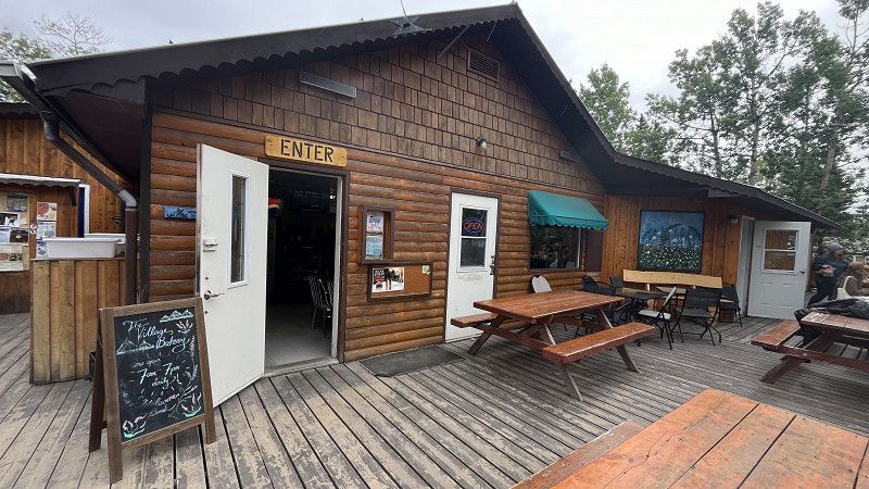
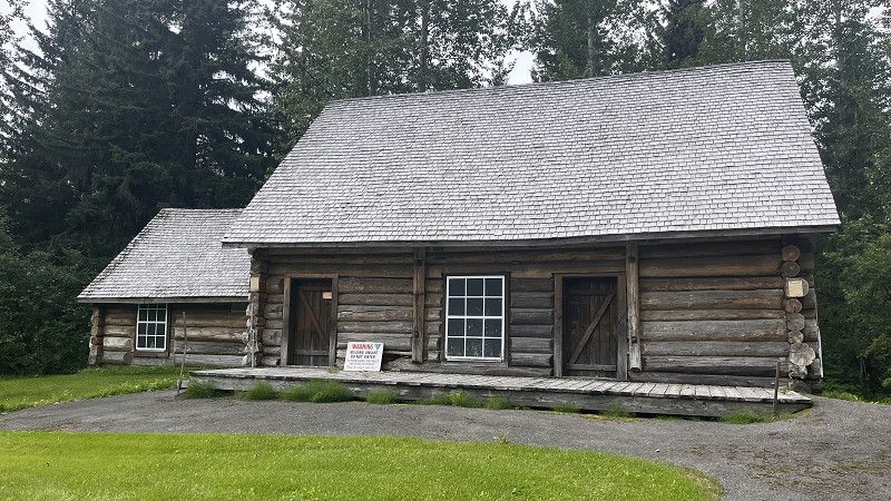
The Village Bakery, Haines Junction
Good food and free internet in the Village Bakery.
Auriol Street 113, Haines Junction, Yukon, Canada
60° 45' 11.1" N 137° 30' 55" W
60.7530785 -137.5152856
• Ga richting Logan St op de Auriol St. Rij 36 m door.
• Sla linksaf de Logan St in. Rij 44 m door.
• Sla linksaf richting Lucania St. Rij 168 m door.
• Sla rechtsaf de Lucania St in. Rij 48 m door.
• Rij verder op de Kathleen St. Rij 41 m door.
• Sla rechtsaf de Alaska Hwy (HWY-1) in. Rij 70.5 km door.
• Sla linksaf de Tachal Dhal Visitor Cntr in. Rij 191 m door.
• Sla linksaf de Tachal Dhal Visitor Cntr in. Rij 27 m door.
• Rij verder op de Tachal Dhal Visitor Cntr. Rij 84 m door.
• Tachal Dhal Visitor Cntr bereikt.
☍
71,2 km
( 47 min.)
Tachal Dhal Visitor Centre, Yukon, Canada
61° 0' 49.4" N 138° 31' 35.4" W
61.0137151 -138.5264934
• Ga naar het zuidwesten op de Tachal Dhal Visitor Cntr. Rij 141 m door.
• Sla rechtsaf de Tachal Dhal Visitor Cntr in. Rij 32 m door.
• Neem een flauwe bocht naar links richting Alaska Hwy/HWY-1. Rij 128 m door.
• Sla linksaf de Alaska Hwy (HWY-1) in. Rij 17.1 km door.
• Sla rechtsaf. Rij 565 m door.
• Uw bestemming bereiken.
☍
18,0 km
( 13 min.)
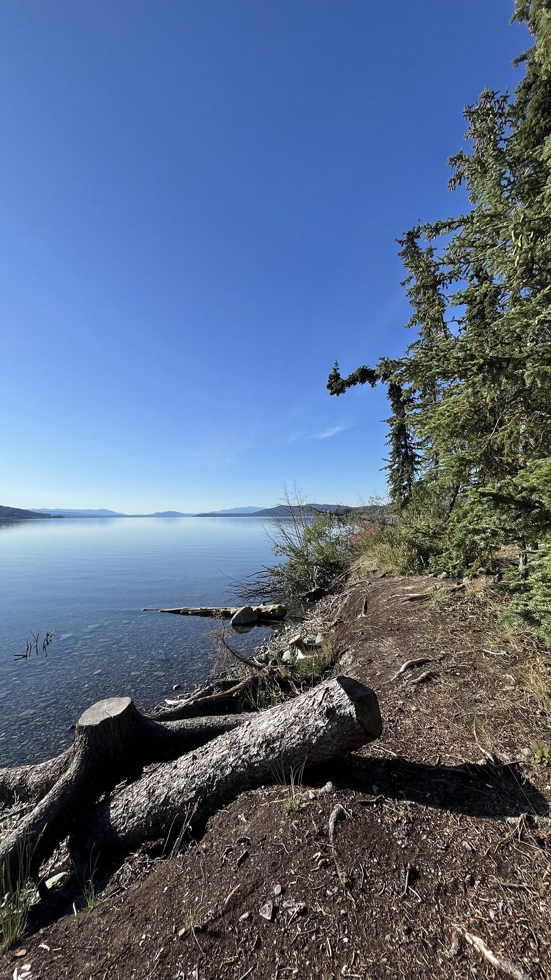
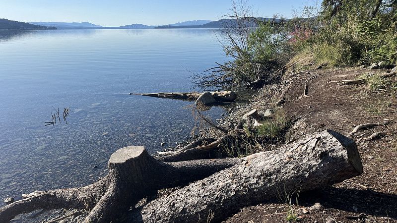
Congdon Creek Campground
Amazing campground along the Kluane Lake.
Alaska Highway, Destruction Bay, Yukon, Canada
61° 9' 14.7" N 138° 32' 53.3" W
61.1540845 -138.5481418
• Ga richting Alaska Hwy. Rij 565 m door.
• Sla linksaf de Alaska Hwy (HWY-1) in. Rij 87.8 km door.
• Sla rechtsaf de Haines Rd (HWY-3) in. Rij 26.4 km door.
• Sla rechtsaf. Rij 1.2 km door.
• Uw bestemming bereiken aan de rechterkant.
☍
116,0 km
(1 uur 18 min.)
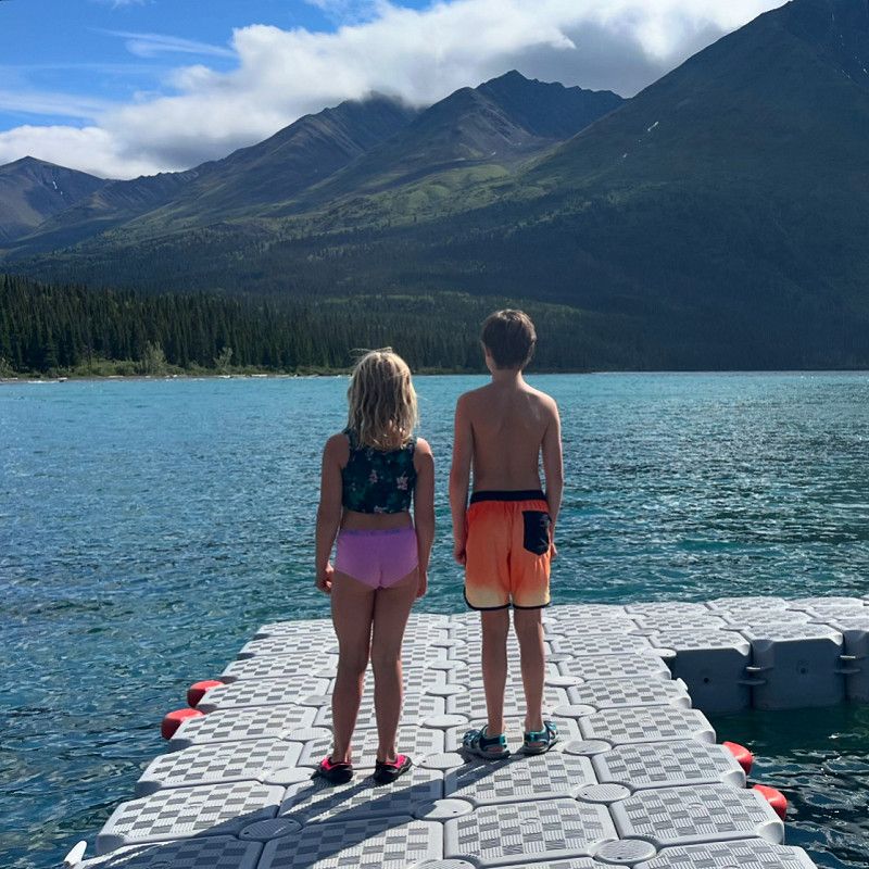
Kathleen Lake
Some good hiking trails, amazing views and fresh, cold swimming!
Cotton Wood Trail - Winter only - ski/Snowshoe, Yukon, Canada
60° 34' 33.6" N 137° 13' 15.8" W
60.5760051 -137.2210686
• Ga naar het noordoosten. Rij 1.2 km door.
• Sla rechtsaf de Haines Rd (HWY-3) in. Rij 60.4 km door.
• Sla rechtsaf. Rij 1.3 km door.
• Uw bestemming bereiken aan de rechterkant.
☍
62,8 km
( 56 min.)
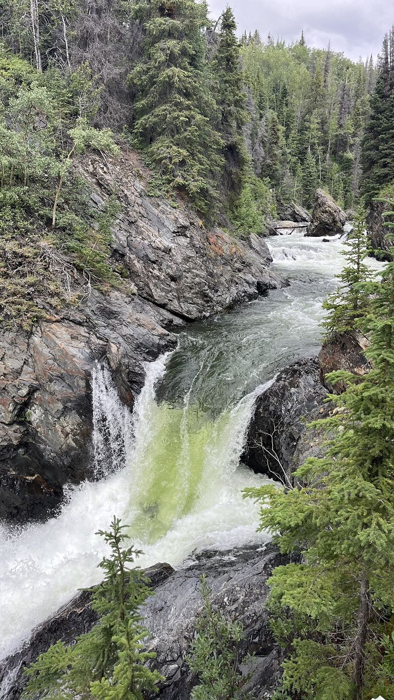
Million Dollar Falls Campground
Million Dollar Falls Road, Yukon, Canada
60° 6' 32.5" N 136° 56' 39.2" W
60.1090341 -136.9442300
• Ga richting Haines Rd. Rij 1.3 km door.
• Sla rechtsaf de Haines Rd (HWY-3) in. Rij 13.4 km door.
• Rij verder op de Haines Rd (HWY-3). Rij 74.0 km door.
• Haines Rd (HWY-3) bereikt. Uw bestemming is aan de rechterkant.
☍
88,7 km
(1 uur 13 min.)
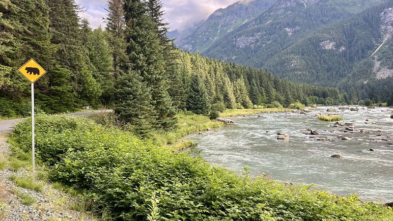
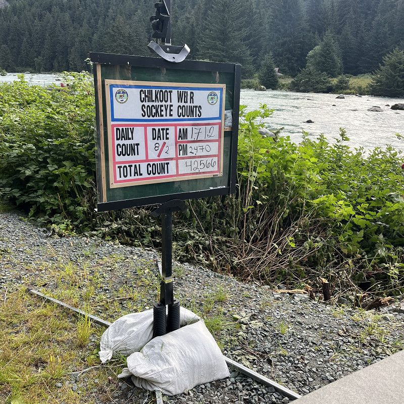
Dalton Post, US Border
Crossing the Canada - USA Border on the Haines Road at Dalton Post.
Haines Highway, Mosquito Lake, Haines, Alaska, Verenigde Staten
59° 27' 0.5" N 136° 21' 47.1" W
59.4501439 -136.3630779
• Ga richting Heiner Rd op de Haines Rd (HWY-3). Rij 257 m door.
• Rij verder op de Haines Hwy (AK-7). Rij 63.7 km door.
• Sla linksaf de Front St in. Rij 58 m door.
• Front St bereikt. Uw bestemming is aan de rechterkant.
☍
64,0 km
( 51 min.)
Oceanside RV Park
Good located RV park in Haines, AK along the waterfront.
Front Street 110, Haines, Haines, Alaska, Verenigde Staten
59° 14' 6.6" N 135° 26' 28.6" W
59.2351538 -135.4412843
• Ga richting Dalton St op de Front St. Rij 733 m door.
• Sla rechtsaf de Lutak Rd in. Rij 6.0 km door.
• Rij verder op de Lutak Rd. Rij 6.8 km door.
• Houd rechts aan op de Lutak Rd. Rij 824 m door.
• Rij verder op de Lutak Rd. Rij 769 m door.
• Lutak Rd bereikt. Uw bestemming is aan de rechterkant.
☍
15,1 km
( 25 min.)
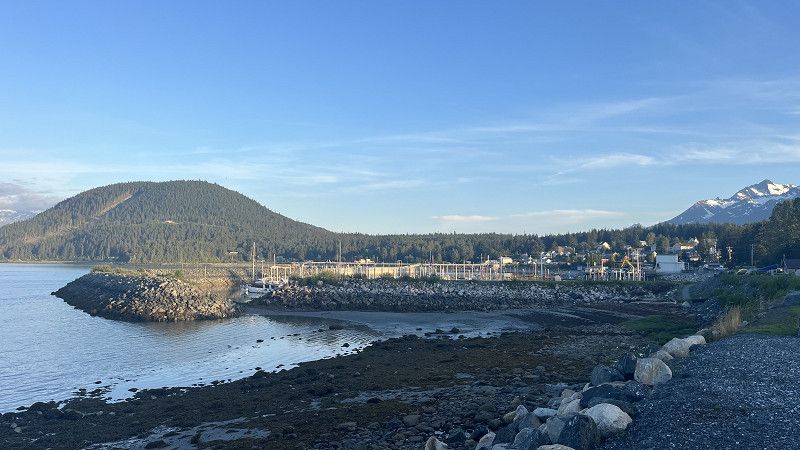
Lutak inlet
To see some bears, lots of people come to this spot.
Lutak Road, Lutak, Haines, Alaska, Verenigde Staten
59° 19' 48.2" N 135° 33' 32.5" W
59.3300528 -135.5590206
• Ga naar het zuidwesten op de Lutak Rd. Rij 8.4 km door.
• Sla linksaf. Rij 242 m door.
• Sla linksaf. Rij 35 m door.
• Uw bestemming bereiken aan de linkerkant.
☍
8,6 km
( 20 min.)
Haines Ferry Terminal
Ferry Terminal - Haines {Lutak), Haines, Haines, Alaska, Verenigde Staten
59° 16' 53.2" N 135° 27' 44.3" W
59.2814314 -135.4622941
• Ga naar het noordoosten. Rij 52 m door.
• Neem de veerboot Alaska Marine Hwy. Blijf 23.1 km op de veerboot.
• Ga naar het noordoosten op de Broadway. Rij 212 m door.
• Sla linksaf. Rij 23 m door.
• Sla linksaf. Rij 175 m door.
• Uw bestemming bereiken aan de rechterkant.
☍
23,6 km
(1 uur 6 min.)
Skagway
Broadway, Skagway, Skagway, Alaska, Verenigde Staten
59° 26' 59.7" N 135° 19' 25.2" W
59.4499240 -135.3236703
• Ga richting Broadway. Rij 122 m door.
• Rij verder op de Broadway. Rij 317 m door.
• Sla linksaf de 1st in richting Whitehorse. Rij 109 m door.
• Sla rechtsaf de State St in richting AK-98 N. Rij 1.8 km door.
• Rij verder op de 23rd. Rij 272 m door.
• Rij verder op de Klondike Hwy (AK-98). Rij 1.3 km door.
• Sla linksaf de Dyea Rd in richting Dyea. Rij 10.7 km door.
• Sla linksaf de NPS Dyea Campground Access Rd in. Rij 52 m door.
• NPS Dyea Campground Access Rd bereikt. Uw bestemming is aan de rechterkant.
☍
14,6 km
( 31 min.)
Dyea Campground
Narrow gravel road with lots of oncoming traffic. Pretty ok campground.
Campground Road, Skagway, Skagway, Alaska, Verenigde Staten
59° 30' 21.5" N 135° 20' 52.7" W
59.5059640 -135.3479843
• Ga richting Dyea Rd op de NPS Dyea Campground Access Rd. Rij 52 m door.
• Sla rechtsaf de Dyea Rd in. Rij 10.7 km door.
• Sla linksaf de Klondike Hwy (AK-98) in. Rij 19.9 km door.
• Rij verder op de HWY-2. Rij 12.2 km door.
• HWY-2 bereikt. Uw bestemming is aan de rechterkant.
☍
42,9 km
(1 uur 2 min.)
Canada Border Check
Klondike Highway km 36.5/mile 22.6, Stikine Region, Brits-Columbia, Canada
59° 42' 53.8" N 135° 2' 46.4" W
59.7149500 -135.0462207
• Ga richting Fraser St op de HWY-2. Rij 43.5 km door.
• Rij verder op de Klondike Hwy (HWY-2). Rij 25.2 km door.
• Sla linksaf. Rij 224 m door.
• Uw bestemming bereiken aan de rechterkant.
☍
68,9 km
( 47 min.)
Carcross
Carcross Street, Carcross, Yukon, Canada
60° 9' 55.5" N 134° 42' 12.5" W
60.1654232 -134.7034721
• Ga naar het westen. Rij 134 m door.
• Sla rechtsaf richting Klondike Hwy/HWY-2. Rij 326 m door.
• Sla linksaf de Klondike Hwy (HWY-2) in. Rij 2.1 km door.
• Klondike Hwy (HWY-2) bereikt. Uw bestemming is aan de rechterkant.
☍
2,5 km
( 3 min.)
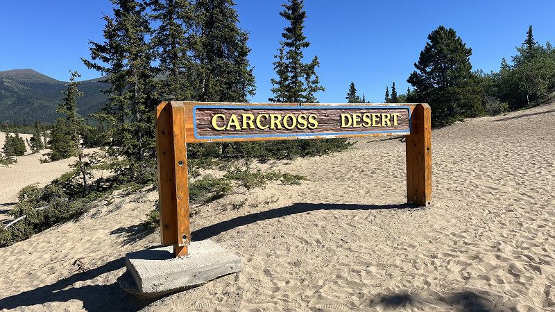
Carcross Desert
Klondike Highway, Carcross, Yukon, Canada
60° 11' 8.8" N 134° 42' 1.1" W
60.1857830 -134.7003077
• Ga richting Spirit Dr op de Klondike Hwy (HWY-2). Rij 44.6 km door.
• Sla rechtsaf de Klondike Hwy in. Rij 124 m door.
• Klondike Hwy bereikt. Uw bestemming is aan de rechterkant.
☍
44,7 km
( 25 min.)
Kookatsoon Lake Day Use Area
Lots of locals will be swimming here in the summertime, especially crowded in the weekends.
Klondike Highway, Whitehorse, Yukon, Canada
60° 33' 29.9" N 134° 52' 36.1" W
60.5582939 -134.8766860
• Ga naar het noorden op de Klondike Hwy. Rij 121 m door.
• Sla rechtsaf de Klondike Hwy (HWY-2) in. Rij 5.4 km door.
• Sla rechtsaf de Alaska Hwy (HWY-1) in. Rij 25.1 km door.
• Sla rechtsaf. Rij 519 m door.
• Sla rechtsaf. Rij 15 m door.
• Uw bestemming bereiken aan de linkerkant.
☍
31,1 km
( 20 min.)
Marsh Lake Campground
Lovely campground, although you can hear the traffic on the Alaska Highway.
Marsh Lake Territorial Park, Yukon, Canada
60° 33' 29" N 134° 26' 33" W
60.5580469 -134.4425076
• Ga naar het zuiden. Rij 751 m door.
• Sla linksaf de Alaska Hwy (HWY-1) in. Rij 39.8 km door.
• Rij verder op de Alaska Hwy (HWY-1/HWY-2). Rij 119 m door.
• Sla linksaf de Hamilton Blvd in. Rij 299 m door.
• Maak een bocht van 180 graden op de Metropolit Ln de Hamilton Blvd op. Rij 219 m door.
• Sla rechtsaf. Rij 96 m door.
• Uw bestemming bereiken aan de rechterkant.
☍
41,2 km
( 28 min.)
Hi Country RV Park
Full hookup RV site, handy to clean the rental RV for return. Lots of road noise during the day.
Alaska Highway, Whitehorse, Yukon, Canada
60° 41' 1.3" N 135° 3' 39.5" W
60.6836941 -135.0609762
• Ga naar het noorden. Rij 96 m door.
• Sla rechtsaf de Hamilton Blvd in. Rij 78 m door.
• Rij verder op de Robert Service Way. Rij 4.0 km door.
• Neem de 1e afslag op de rotonde. Rij 170 m door.
• Uw bestemming bereiken aan de rechterkant.
☍
4,3 km
( 4 min.)
SS Klondike
Robert Service Way 10, Whitehorse, Yukon, Canada
60° 42' 48.4" N 135° 2' 51" W
60.7134572 -135.0475039