We mainly use the camping car park pitches for arrival and departure.
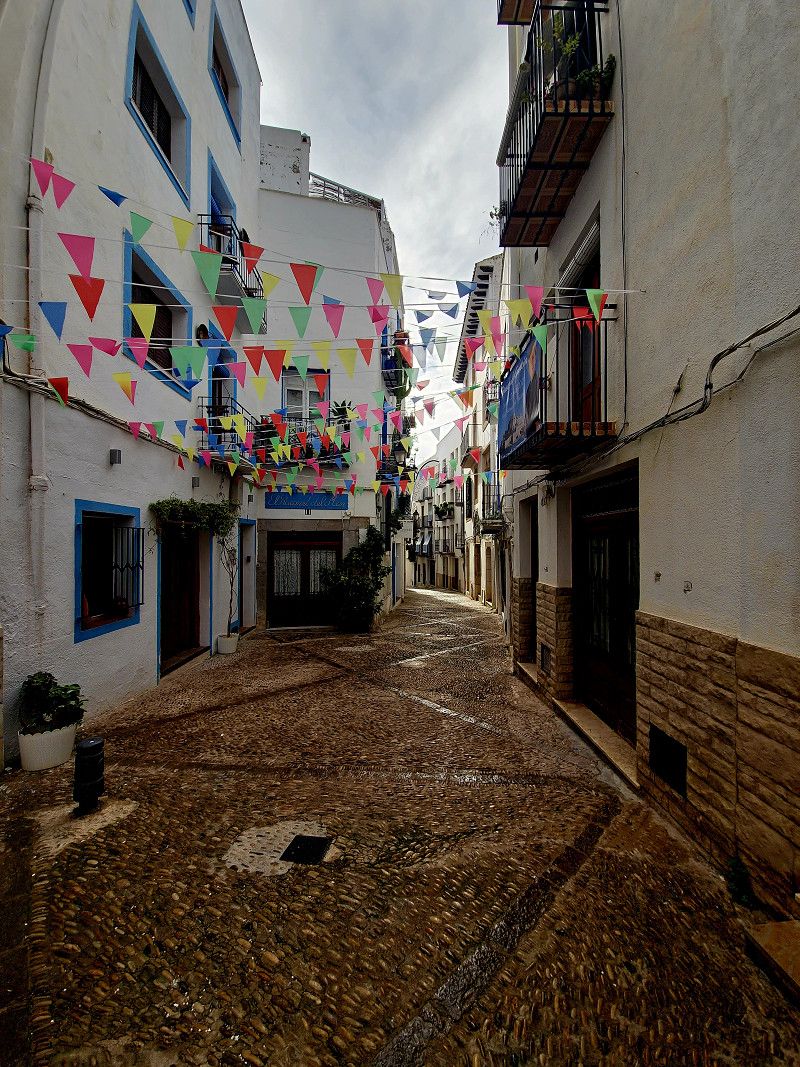
We will spend the winter at Camping La Media Legua in Benidorm.
Day
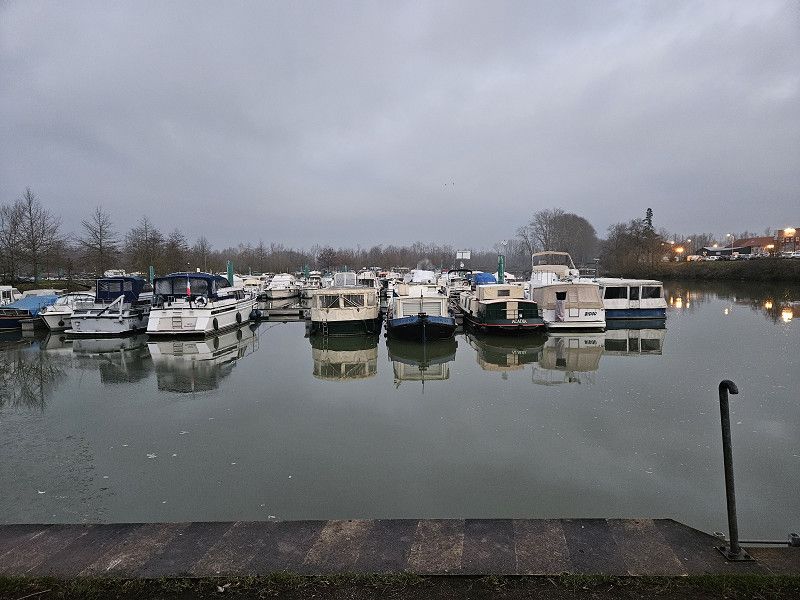
Nauort
Westerwaldkreis, Rheinland-Pfalz, Deutschland
50° 27' 56.9" N 7° 37' 33.5" E
50.4658027 7.6259789
• Head toward Schulstraße on Hauptstraße (L306). Go for 3.5 km.
• Take the 2nd exit from roundabout onto Westerwaldstraße (L306). Go for 3.4 km.
• Turn left onto Koblenz-Olper-Straße (B413) toward Zentrum. Go for 705 m.
• Take the 1st exit from roundabout onto Brauereistraße toward Gewerbegebiet Langfuhr/Gewerbegebiet Concordia. Go for 462 m.
• Take the 3rd exit from roundabout onto Concordiastraße toward A48/B42. Go for 72 m.
• Continue on Brauereistraße. Go for 361 m.
• Take the 1st exit from roundabout onto Brauereistraße toward B42. Go for 334 m.
• Turn right onto Engerser Straße (L307) toward A48/Koblenz/Neuwied-Engers/Bendorf-Mülhofen/Gewerbegebiet Hafen/Gewerbegebiet Rheinau/B42. Go for 307 m.
• Take ramp onto B42 toward Trier/A48/Frankfurt a.M./Koblenz. Go for 1.3 km.
• Take ramp onto A48 toward Trier/Koblenz. Go for 62.7 km.
• Take the exit onto A1. Go for 49.4 km.
• Take exit 130 toward Luxembourg/Trier onto A602. Go for 4.2 km.
• Take exit 2 toward Luxembourg/A64/Bitburg/Trier-Ehrang onto A64a. Go for 1.9 km.
• Keep left onto A64a toward Luxembourg/Bitburg/A64. Go for 4.9 km.
• Continue on A64. Go for 11.8 km.
• Continue on A1 (Sauertalbrücke). Go for 6.4 km.
• Take exit 14 toward Fähre Mertert/Grevenmacher/Wasserbillig onto N1d. Go for 1.4 km.
• Turn right onto N1 toward Grevenmacher/Remich/Konz/CR419. Go for 1.5 km.
• Take the 2nd exit from roundabout onto Route du Vin (N10). Go for 11.2 km.
• Turn right onto CR122B. Go for 438 m.
• Turn right toward L134. Go for 113 m.
• Continue on L134. Go for 107 m.
• Take the 1st exit from roundabout onto B419 toward Metz/Thionville/Nennig. Go for 10.1 km.
• Pass 2 roundabouts and continue on Am Dreiländereck (B407/B419). Go for 8.0 km.
• Take the 1st exit from roundabout onto B407 toward Luxembourg/Schengen. Go for 350 m.
• Continue toward Place de l'Accord de Schengen. Go for 148 m.
• Turn right onto Place de l'Accord de Schengen. Go for 155 m.
• Continue on Rue Robert Goebbels. Go for 1.3 km.
• Continue on D64 F. Go for 847 m.
• Continue on Lieu-dit Rudling (D64 F). Go for 127 m.
• Continue on D64 F. Go for 2.2 km.
• Turn left onto D64. Go for 414 m.
• Take the 3rd exit from roundabout onto D64. Go for 858 m.
• Take the 1st exit from roundabout onto Route de Thionville (D654) toward Thionville/Koenigsmacker. Go for 5.2 km.
• Pass 5 roundabouts and continue on D654. Go for 7.3 km.
• Take the 3rd exit from roundabout onto D654 toward A31/Thionville/Uckange. Go for 1.7 km.
• Pass 2 roundabouts and continue on D654. Go for 5.0 km.
• Take ramp onto A31 toward Metz/Uckange. Go for 79.9 km.
• Take the exit toward Lyon/Paris/Dijon/Toul onto A31. Go for 132 km.
• Take the left exit toward Lyon/Besançon/Dijon/Langres-Sud onto A31. Go for 115 km.
• Continue on A6 (Autoroute du Soleil). Go for 51.0 km.
• Take exit 27 toward Tournus onto D906 (Avenue du Clos Mouron). Go for 2.2 km.
• Take the 2nd exit from roundabout onto Avenue Gambetta (D906). Go for 13.9 km.
• Take the 3rd exit from roundabout onto D933 A toward Pont de Vaux/Reyssouze. Go for 4.1 km.
• Turn left. Go for 51 m.
• Turn left. Go for 36 m.
• Arrive at your destination on the right.
☍
608,4 km
(6 hrs. 17 min.)
15. Jan. 2025 -
16. Jan. 2025
Camping-Car Park Pont-de-Vaux
Attention when arriving from the north via Tournus, along the D933A, the Fleurville bridge has a weight limit of 3.5t.
Impasse Pré Chapuisi, Pont-de-Vaux, Ain, Auvergne-Rhone-Alpen, Frankreich
46° 26' 12.2" N 4° 55' 57.7" E
46.4367164 4.9326948
• Head southeast. Go for 36 m.
• Turn right toward Route de Fleurville/D933 A. Go for 51 m.
• Turn right onto Route de Fleurville (D933 A). Go for 4.0 km.
• Take the 3rd exit from roundabout onto Route Nationale 6 (D906) toward A6 (Lyon)/Mâcon/Lugny/Vire/St Albain. Go for 717 m.
• Take the 2nd exit from roundabout onto D906 toward A6 (Lyon)/Mâcon/St Albain. Go for 9.9 km.
• Take ramp onto D672 toward Lyon/Moulins/Paris/Sennecé les M./Parc d'Activités-Mâcon-Nord. Go for 879 m.
• Take the 3rd exit from roundabout onto D672 toward A6/Lyon/Moulins/Paris/Chalon S/S./Tournus. Go for 244 m.
• Take ramp onto A6 (Autoroute du Soleil) toward Lyon/Moulins. Go for 71.2 km.
• Keep left onto Autoroute du Soleil (M6). Go for 6.8 km.
• Keep left onto Autoroute du Soleil (M7). Go for 194 km.
• Keep right onto A9 (Échangeur d'Orange) toward Barcelone/Toulouse/Montpellier/Nîmes. Go for 159 km.
• Take the exit toward Valras-Plage/Sérignan/Aéroport Béziers-Cap d'Agde/Béziers-Centre onto A75 (La Méridienne). Go for 1.9 km.
• Take exit 64 toward Sérignan. Go for 1.7 km.
• Take the 2nd exit from Rond-Point des Étoiles roundabout toward Sérignan/Villeneuve lès B./Aéroport Béziers Cap d'Agde/Béziers-Gare/Béziers-la Devèze. Go for 193 m.
• Take the 2nd exit from Rond-Point du 9 Mai roundabout onto D612 toward Valras Plage/Sérignan/Villeneuve lès B./Aéroport Béziers-Cap d'Agde. Go for 2.0 km.
• Take the 3rd exit from Rond-Point de la Méditerranée roundabout onto D612 toward Sète/Cers/Portiragnes. Go for 2.1 km.
• Turn right onto Route de Portiragnes (D37) toward Portiragnes-Plage/Port Cassafières. Go for 634 m.
• Continue on Chemin de Béziers (D37). Go for 406 m.
• Continue on Lieu-dit La Prade (D37). Go for 165 m.
• Continue on Chemin de Béziers (D37). Go for 59 m.
• Continue on Avenue de Béziers (D37). Go for 431 m.
• Continue on D37. Go for 36 m.
• Continue on Avenue de Béziers (D37). Go for 102 m.
• Take the 1st exit from roundabout onto D37. Go for 688 m.
• Pass 2 roundabouts and continue on D37. Go for 3.2 km.
• Take the 1st exit from roundabout onto Avenue de la Tour de l'Orb. Go for 707 m.
• Turn right onto Avenue du Grand Salan. Go for 516 m.
• Turn slightly left onto Avenue de la Grande Maïre. Go for 260 m.
• Take the 1st exit from roundabout onto Avenue de la Grande Maïre. Go for 357 m.
• Turn left. Go for 119 m.
• Arrive at your destination.
☍
462,0 km
(4 hrs. 16 min.)
Day
14. Jan. 2025 -
15. Jan. 2025
Aire Camping-car Portiragnes
parking space directly on the beach
Avenue de la Grande Maïre, Portiragnes, Hérault, Okzitanien, Frankreich
43° 16' 30.7" N 3° 21' 7" E
43.2751862 3.3519517
• Head south. Go for 119 m.
• Turn right onto Avenue de la Grande Maïre. Go for 321 m.
• Take the 2nd exit from roundabout onto Avenue de la Grande Maïre. Go for 302 m.
• Turn slightly right onto Avenue du Grand Salan. Go for 516 m.
• Turn left onto Avenue de la Tour de l'Orb. Go for 653 m.
• Take the 2nd exit from roundabout onto D37. Go for 2.3 km.
• Pass 2 roundabouts and continue on D37. Go for 1.6 km.
• Take the 2nd exit from roundabout onto Avenue de Béziers (D37). Go for 147 m.
• Continue on D37. Go for 36 m.
• Continue on Avenue de Béziers (D37). Go for 431 m.
• Continue on Chemin de Béziers (D37). Go for 59 m.
• Continue on Lieu-dit La Prade (D37). Go for 165 m.
• Continue on Chemin de Béziers (D37). Go for 406 m.
• Continue on Route de Portiragnes (D37). Go for 262 m.
• Take ramp onto Route d'Agde (D612). Go for 2.1 km.
• Keep right toward A9/A75/Béziers-Centre/Pézenas. Go for 297 m.
• Continue on Avenue de la Méditerranée (D612). Go for 1.7 km.
• Take ramp toward A75/A9/Clermont-Fd/Montpellier/Narbonne/Pézenas/P.A.E. du Capiscol/P.A.E. la Méridienne. Go for 259 m.
• Take the 2nd exit from Rond-Point des Étoiles roundabout onto A75 (La Méridienne) toward Narbonne/Montpellier. Go for 2.4 km.
• Take the exit toward Barcelone/Toulouse/Narbonne/Béziers-Ouest onto A9 (La Languedocienne). Go for 121 km.
• Continue on AP-7 (Autopista de la Mediterrània). Go for 20.3 km.
• Take exit 3 toward Figueres N./Roses/Figueres/Girona/Barcelona/Olot/Ripoll. Go for 390 m.
• Take the 3rd exit from roundabout onto N-2 toward Figueres/Girona/Barcelona. Go for 4.4 km.
• Take ramp toward Llançà/Portbou. Go for 257 m.
• Continue on N-260. Go for 622 m.
• Take the 2nd exit from roundabout onto N-260 toward Portbou. Go for 9.9 km.
• Take ramp toward Roses/La Jonquera. Go for 108 m.
• Turn left onto GI-604 toward C-252/Garriguella/La Jonquera. Go for 116 m.
• Continue on C-252. Go for 1.2 km.
• Continue on Carretera de la Bisbal d'Empordà a Portbou (C-252). Go for 168 m.
• Take the 2nd exit from roundabout onto Carretera de la Bisbal d'Empordà a Portbou (C-252) toward Rabós/Espolla. Go for 562 m.
• Turn right. Go for 162 m.
• Arrive at your destination on the right.
☍
173,7 km
(1 hrs. 41 min.)
Day
Cooperativa Garriguella
Oberampurien, Katalonien, Spanien
42° 20' 36.5" N 3° 3' 36.6" E
42.3434632 3.0601565
• Head east. Go for 26 m.
• Turn right toward Carrer Pompeu Fabra. Go for 153 m.
• Continue on Carrer Pompeu Fabra. Go for 33 m.
• Turn right toward Carrer de Quermançó. Go for 88 m.
• Continue on Carrer de Quermançó. Go for 26 m.
• Turn left onto Carretera a Rabós (C-252). Go for 382 m.
• Take the 2nd exit from roundabout onto Carretera de la Bisbal d'Empordà a Portbou (C-252) toward Llançà/Roses/Figueres. Go for 215 m.
• Continue on C-252. Go for 1.2 km.
• Continue on GI-604. Go for 1.4 km.
• Take the 2nd exit from roundabout onto GI-610 toward Palau-Saverdera/Roses/Cadaqués. Go for 2.3 km.
• Take the 3rd exit from roundabout onto Carretera Roses (GI-610) toward Palau-Saverdera/Roses/Cadaqués. Go for 2.6 km.
• Take the 2nd exit from roundabout onto GIV-6102 toward Castelló d'Empúries/GIV-6103/Castelló d'E. Go for 851 m.
• Turn left onto GIV-6102 toward Sta. Margarida/Empuriabrava. Go for 3.5 km.
• Take the 1st exit from roundabout onto Carretera de Besalú a Roses (C-260) toward Empuriabrava/Figueres. Go for 2.2 km.
• Take the 2nd exit from roundabout onto C-260 toward AP-7/Figueres/Girona/Perpinyà. Go for 644 m.
• Take the 2nd exit from roundabout onto Avinguda Tramuntana toward Empuriabrava. Go for 610 m.
• Take the 2nd exit from Plaça de la Font roundabout onto Avinguda de Joan Carles I. Go for 944 m.
• Take the 2nd exit from roundabout onto Avinguda de Joan Carles I. Go for 931 m.
• Turn left onto Carrer Port Petit. Go for 77 m.
• Turn left onto Carrer Port Petit. Go for 15 m.
• Arrive at Carrer Port Petit. Your destination is on the right.
☍
18,2 km
( 18 min.)
16. Jan. 2025 -
18. Jan. 2025
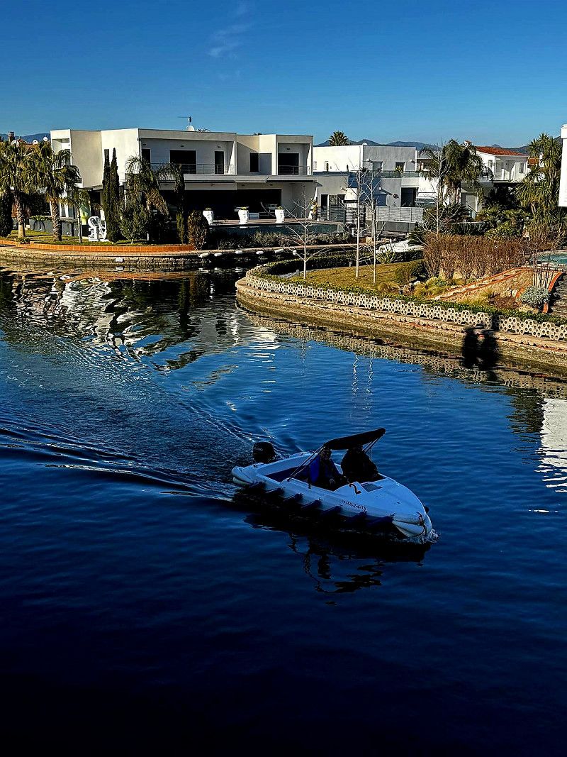
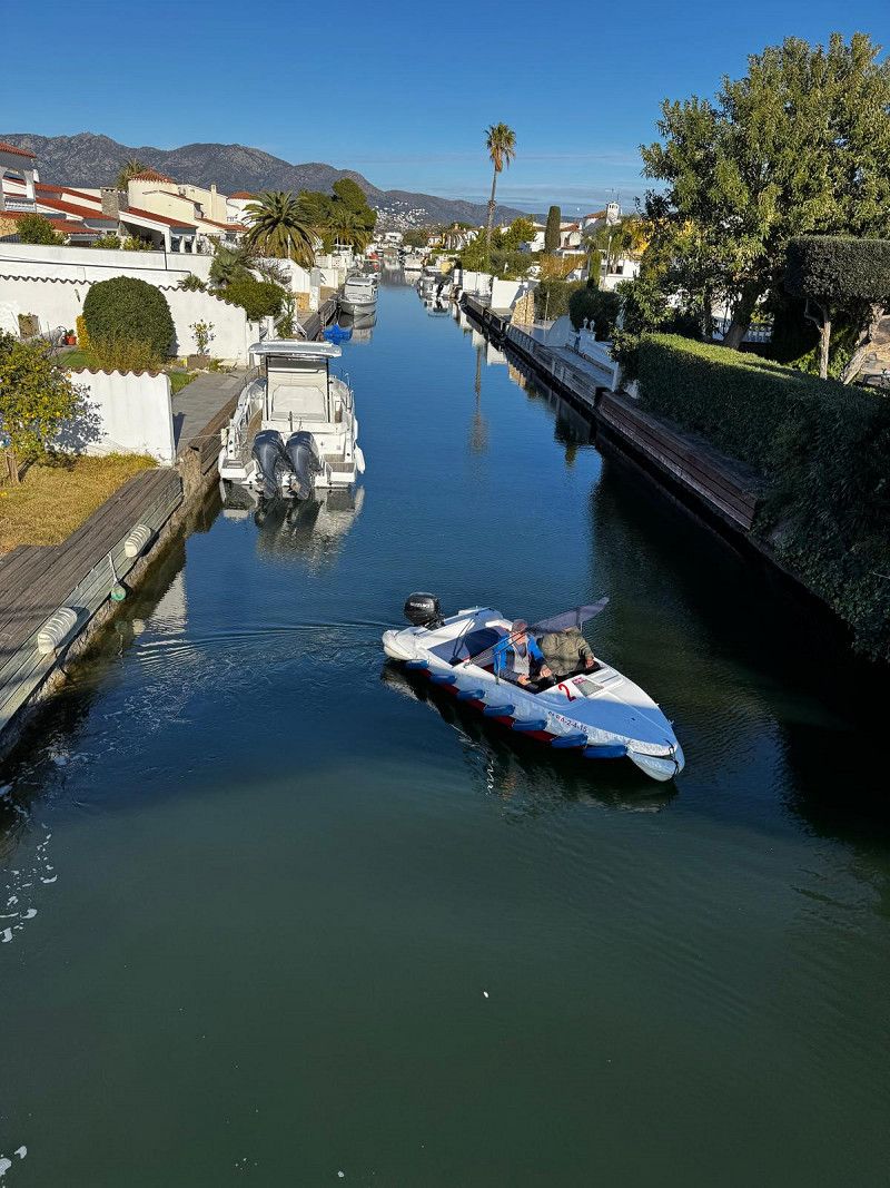
Empuriabrava
Port Empúries - Port Petit, Empuriabrava, Girona, Spain
42° 14' 51.9" N 3° 7' 20.4" E
42.2477591 3.1223466
• Head north on Carrer Port Petit. Go for 24 m.
• Make a U-Turn onto Carrer Port Petit. Go for 102 m.
• Turn right onto Avinguda de Joan Carles I. Go for 902 m.
• Take the 2nd exit from roundabout onto Avinguda de Joan Carles I. Go for 921 m.
• Take the 1st exit from Plaça de la Font roundabout onto Avinguda Tramuntana toward Centre Històric/Roses/Cadaqués/Figueres/AP-7. Go for 560 m.
• Take the 2nd exit from roundabout onto Carretera de Roses (C-260) toward AP-7/Castelló E./Figueres/Girona/Perpinyà. Go for 882 m.
• Pass 2 roundabouts and continue on C-260. Go for 3.7 km.
• Take the 4th exit from roundabout onto Carretera Castelló (GIV-6213) toward Fortià. Go for 2.8 km.
• Take the 2nd exit from roundabout onto GI-8594 toward Vilamalla. Go for 3.3 km.
• Take the 3rd exit from roundabout. Go for 169 m.
• Take the 1st exit from roundabout onto C-31 toward AP-7/Figueres/Empordà Internacional. Go for 1.8 km.
• Take the 2nd exit from roundabout onto C-31 toward Sta. Llogaia d'Àlguema/Figueres. Go for 812 m.
• Take the 2nd exit from roundabout onto N-2A toward AP-7/Girona/Barcelona. Go for 1.3 km.
• Take the 2nd exit from roundabout onto N-2A toward Girona. Go for 555 m.
• Take the 1st exit from roundabout toward Barcelona/Girona. Go for 889 m.
• Take left ramp onto AP-7 (Autopista de la Mediterrània) toward Girona/Barcelona. Go for 108 km.
• Keep right onto AP-7 (Autopista de la Mediterrània) toward Lleida/E-90/AP-2/Tarragona/Sabadell/C-58/Túnels de Vallvidrera/E-9/Manresa/C-16/Polígon Industrial de Zona Franca/Fira. Go for 230 km.
• Take exit 43 toward Peníscola/Peñíscola/Benicarló. Go for 1.2 km.
• Turn right. Go for 24 m.
• Turn right. Go for 442 m.
• Turn left toward Avenida de la Estación/CV-141. Go for 600 m.
• Turn left onto Avenida de la Estación (CV-141). Go for 2.2 km.
• Pass 3 roundabouts and continue on Avenida de la Estación (CV-1410). Go for 2.0 km.
• Turn right. Go for 24 m.
• Arrive at your destination on the right.
☍
362,3 km
(3 hrs. 26 min.)
Day
18. Jan. 2025 -
20. Jan. 2025
Camping Ferrer
Small campsite, narrow pitches, low branches. Over 7m critical. Great restaurant on site, Peñiscola is within walking distance
Carretera Estación 27, Peñiscola, el Baix Maestrat, Valencianische Gemeinschaft, Spanien
40° 21' 46.7" N 0° 23' 42.4" E
40.3629686 0.3951165
• Head toward Avenida de la Estación. Go for 24 m.
• Turn left onto Avenida de la Estación (CV-1410). Go for 240 m.
• Take the 2nd exit from roundabout onto Avenida de la Estación (CV-1410) toward N-340/E-15/AP-7/Castelló/Tarragona/Benicarló. Go for 329 m.
• Take the 3rd exit from roundabout onto Avenida de la Estación (CV-141) toward E-15/AP-7/Castelló/Tarragona. Go for 1.3 km.
• Take the 3rd exit from roundabout onto Avenida de la Estación (CV-141). Go for 3.6 km.
• Continue on CV-141 toward Benicarló/Tarragona/E-15/AP-7/Valencia/Barcelona. Go for 70 m.
• Take the 2nd exit from roundabout onto N-340 toward Benicarló/Tarragona/E-15/AP-7/Valencia/Barcelona. Go for 1.8 km.
• Take ramp toward N-340a/Benicarló sud/Benicarló Sur/Castelló/Castellón/E-15/AP-7/Tarragona. Go for 332 m.
• Take the 1st exit from roundabout onto AP-7 (Autopista del Mediterráneo) toward Valencia. Go for 115 km.
• Continue on A-7 (Autovía del Mediterráneo). Go for 46.0 km.
• Keep left onto A-7 (Autopista del Mediterráneo) toward Alacant/Alicante/Gandia/A-38. Go for 244 m.
• Continue on AP-7 (Autopista del Mediterráneo). Go for 45.1 km.
• Take exit 60 toward Gandia onto N-332. Go for 1.9 km.
• Continue on A-38. Go for 2.8 km.
• Continue on N-332. Go for 7 m.
• Take ramp toward Gandia (nord/norte)/Gandia (nord). Go for 1.1 km.
• Keep left onto Gran Vía Castillo de Bairén toward Gandia. Go for 972 m.
• Take the 2nd exit from roundabout onto Gran Vía Castillo de Bairén. Go for 501 m.
• Take the 4th exit from Plaza 25 de Abril roundabout onto Avenida de Valencia. Go for 216 m.
• Continue on Plaza Alquería de les Flors. Go for 204 m.
• Take the 3rd exit from Plaza Joaquim Ballester roundabout onto Avenida de Valencia. Go for 440 m.
• Continue on Calle Alzira. Go for 15 m.
• Turn right onto Avenida Marqués de Campo. Go for 50 m.
• Continue on Avenida de Alicante. Go for 700 m.
• Take the 1st exit from roundabout onto Avenida de Alicante toward Centre Històric. Go for 74 m.
• Turn right onto Avenida de Alicante. Go for 246 m.
• Arrive at Avenida de Alicante. Your destination is on the right.
☍
223,7 km
(2 hrs. 6 min.)
Day
Gandia Tankstelle
Cheapest gas station on the route
Diesel 1.36.9
Gas 89 Ct
Carrer vell d'Oliva, Gandia, Valencianische Gemeinschaft, Spanien
38° 57' 45.3" N 0° 10' 22.7" W
38.9625719 -0.1729702
• Head southeast on Avenida de Alicante. Go for 351 m.
• Continue toward Calle Rajolars. Go for 39 m.
• Take the 5th exit from roundabout onto Calle Rajolars toward València/N-332/Alacant. Go for 469 m.
• Take the 2nd exit from roundabout onto Avenida de Alicante. Go for 643 m.
• Take the 2nd exit from roundabout onto N-332 toward Oliva/Alicante/Alacant. Go for 2.7 km.
• Take the 2nd exit from roundabout onto Avenida País Valenciano (N-332). Go for 1.8 km.
• Take the 1st exit from roundabout toward E-15/AP-7/València/Alacant/Alicante. Go for 545 m.
• Take ramp onto AP-7 (Autopista del Mediterráneo) toward Alacant/Alicante. Go for 60.0 km.
• Take exit 65 toward N-332/Benidorm/Platja Llevant onto Avenida de la Comunidad Europea. Go for 1.2 km.
• Take ramp onto N-332 toward Altea/Valencia. Go for 4.3 km.
• Take the 4th exit from roundabout onto Avenida de Europa (N-332) toward Alacant/Alicante/Centre Ciutat Benidorm. Go for 3.6 km.
• Arrive at N-332. Your destination is on the right.
☍
75,5 km
( 50 min.)
21. Jan. 2025 -
31. Mar. 2025
Campingplatz La Media Legua
Valencianische Gemeinschaft, Spanien
38° 33' 32.1" N 0° 7' 20.2" W
38.5589252 -0.1222743
• Head southwest on N-332. Go for 387 m.
• Take ramp onto AP-7 (Autopista del Mediterráneo) toward Valencia. Go for 121 km.
• Continue on A-7 (Autovía del Mediterráneo). Go for 45.8 km.
• Keep left onto A-7 (Autovía del Mediterráneo) toward AP-7/Castelló/Castellón/Barcelona. Go for 485 m.
• Continue on AP-7 (Autovía del Mediterráneo). Go for 425 km.
• Take exit 6 toward Girona N./Banyoles/Olot. Go for 842 m.
• Turn right and take ramp onto C-66 toward Girona/Figueres/Port Palamós/Costa Brava. Go for 575 m.
• Take ramp toward Figueres. Go for 305 m.
• Continue on N-2A toward N-2/Figueres. Go for 2.8 km.
• Take the 1st exit from roundabout onto N-2 toward Figueres/Perpignan. Go for 2.5 km.
• Turn right onto GI-633 toward Verges/l'Escala/l'Estartit. Go for 2.1 km.
• Continue on Carretera de Colomers (GI-633). Go for 426 m.
• Take the 1st exit from roundabout onto Carretera de Colomers (GI-633). Go for 1.5 km.
• Continue on GI-633. Go for 2.3 km.
• Take the 2nd exit from roundabout onto GI-633 toward Colomers/Torroella M. Go for 3.7 km.
• Continue on Carretera Costa Brava (GI-634). Go for 315 m.
• Continue on GI-634. Go for 99 m.
• Continue on Carretera Costa Brava (GI-634). Go for 108 m.
• Continue on GI-634. Go for 1.8 km.
• Continue on Carretera de Verges a Colomers (GI-634). Go for 975 m.
• Continue on GI-634. Go for 2.5 km.
• Continue on Carrer Girona (GI-634). Go for 532 m.
• Take the 2nd exit from roundabout onto Carrer Girona (C-31) toward Torroella de Montgrí/l'Escala. Go for 531 m.
• Continue on C-31. Go for 2.8 km.
• Take the 2nd exit from roundabout onto GI-632. Go for 2.5 km.
• Take the 1st exit from roundabout onto GI-632. Go for 95 m.
• Continue on Carretera de l'Escala (GI-632). Go for 235 m.
• Turn right onto Carrer Vell d'Ulla. Go for 211 m.
• Turn left onto Camí Vell d'Ulla. Go for 54 m.
• Arrive at Camí Vell d'Ulla. Your destination is on the right.
☍
621,9 km
(5 hrs. 40 min.)
Day
31. Mar. 2025 -
01. Apr. 2025
Àrea Camper Park Massís del Montgrí
Carretera vella d'Ullà a Bellcaire d'Empordà, Bellcaire d'Empordà, Niederampurien, Katalonien, Spanien
42° 4' 29.6" N 3° 5' 53.1" E
42.0748932 3.0980754
• Head toward Carrer Vell d'Ulla on Camí Vell d'Ulla. Go for 54 m.
• Turn right onto Carrer Vell d'Ulla. Go for 211 m.
• Turn right onto Carretera de l'Escala (GI-632). Go for 12 m.
• Turn left onto Carrer Orient (GIV-6321) toward Centre Ciutat/Albons. Go for 581 m.
• Continue on Carretera d'Albons (GIV-6321). Go for 457 m.
• Continue on GIV-6321. Go for 2.0 km.
• Continue on Carretera d'Albons a Bellcaire (GIV-6321). Go for 245 m.
• Turn left onto Carrer Bellcaire (GIV-6321). Go for 585 m.
• Continue on GIV-6321. Go for 1.0 km.
• Take the 2nd exit from roundabout toward Figueres. Go for 119 m.
• Take ramp onto C-31 toward Figueres/Roses. Go for 16.9 km.
• Take ramp toward La Jonquera/Perpinyà. Go for 315 m.
• Take the 3rd exit from roundabout onto N-2 toward La Jonquera/Perpinyà. Go for 5.3 km.
• Take ramp toward Figueres/Portbou/Llançà. Go for 396 m.
• Continue on N-260 toward Portbou. Go for 56 m.
• Take the 2nd exit from roundabout onto N-260 toward Portbou. Go for 9.9 km.
• Take ramp toward Roses/La Jonquera. Go for 108 m.
• Turn left onto GI-604 toward C-252/Garriguella/La Jonquera. Go for 116 m.
• Continue on C-252. Go for 1.2 km.
• Continue on Carretera de la Bisbal d'Empordà a Portbou (C-252). Go for 168 m.
• Take the 2nd exit from roundabout onto Carretera de la Bisbal d'Empordà a Portbou (C-252) toward Rabós/Espolla. Go for 562 m.
• Turn right. Go for 162 m.
• Arrive at your destination on the right.
☍
40,5 km
( 35 min.)
Day
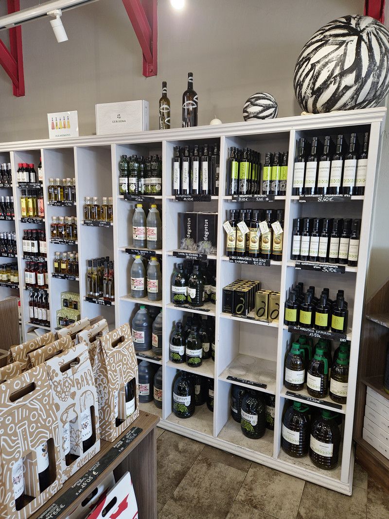
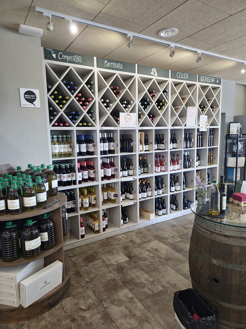
Cooperativa Garriguella
Oberampurien, Katalonien, Spanien
42° 20' 36.5" N 3° 3' 36.6" E
42.3434632 3.0601565
• Head east. Go for 26 m.
• Turn right toward Carrer Pompeu Fabra. Go for 153 m.
• Continue on Carrer Pompeu Fabra. Go for 33 m.
• Turn right toward Carrer de Quermançó. Go for 88 m.
• Continue on Carrer de Quermançó. Go for 26 m.
• Turn left onto Carretera a Rabós (C-252). Go for 382 m.
• Take the 2nd exit from roundabout onto Carretera de la Bisbal d'Empordà a Portbou (C-252) toward Llançà/Roses/Figueres. Go for 215 m.
• Continue on C-252. Go for 1.2 km.
• Take ramp onto N-260 toward AP-7/Figueres/Girona. Go for 10.0 km.
• Take the 2nd exit from roundabout onto N-260 toward Figueres. Go for 267 m.
• Take ramp onto Cinturó de Ronda (N-2) toward La Jonquera/Perpignan. Go for 4.5 km.
• Take ramp onto AP-7 (Autopista de la Mediterrània) toward La Jonquera. Go for 21.8 km.
• Continue on A9 (La Catalane). Go for 120 km.
• Take the exit toward Clermont-Fd/Millau/Béziers-Centre/Aéroport Béziers-Cap d'Agde onto A75. Go for 3.0 km.
• Take exit 64 toward Sérignan. Go for 1.7 km.
• Take the 2nd exit from Rond-Point des Étoiles roundabout toward Sérignan/Villeneuve lès B./Aéroport Béziers Cap d'Agde/Béziers-Gare/Béziers-la Devèze. Go for 193 m.
• Take the 2nd exit from Rond-Point du 9 Mai roundabout onto D612 toward Valras Plage/Sérignan/Villeneuve lès B./Aéroport Béziers-Cap d'Agde. Go for 2.0 km.
• Take the 3rd exit from Rond-Point de la Méditerranée roundabout onto D612 toward Sète/Cers/Portiragnes. Go for 4.0 km.
• Pass 2 roundabouts and continue on D612. Go for 3.3 km.
• Turn left onto Route de Béziers toward Preignes. Go for 32 m.
• Continue on Chemin de Preignes. Go for 1.2 km.
• Turn left. Go for 99 m.
• Arrive at your destination on the right.
☍
173,8 km
(1 hrs. 46 min.)
Château de Preignes-le-Vieux
Chemin de Preignes-le-Vieux, Vias, Hérault, Okzitanien, Frankreich
43° 19' 35.5" N 3° 22' 40.5" E
43.3265337 3.3779134
• Head toward Domaine de Preigne-le-Vieux. Go for 99 m.
• Turn right onto Chemin de Preignes. Go for 1.2 km.
• Continue on Route de Béziers. Go for 26 m.
• Turn left onto D612. Go for 4.7 km.
• Take ramp onto D612 A toward A9/Millau/Bessan/Pézenas. Go for 8.2 km.
• Take the 2nd exit from roundabout onto A9 (La Languedocienne) toward Montpellier. Go for 149 km.
• Continue on A7 (Autoroute du Soleil). Go for 100 km.
• Take exit 14 toward Bourg lès Valence. Go for 776 m.
• Take the 1st exit from roundabout onto Montée du Long (N7) toward Pont de l'Isère. Go for 4.0 km.
• Turn right onto Rue du Stade toward D220/La Roche de Glun. Go for 52 m.
• Turn right onto Rue des Îles. Go for 482 m.
• Continue on Avenue du Canal toward D220/La Roche de Glun. Go for 236 m.
• Take the 2nd exit from roundabout onto Avenue du Canal. Go for 2.0 km.
• Take the 2nd exit from roundabout onto Avenue du Vercors (D220 A) toward D220/La Roche de Glun/Tain l'Hermitage/Z.A. Croix des Marais/Z.A. de l'Île Neuve. Go for 670 m.
• Take the 2nd exit from roundabout onto Rue des Cévennes (D220 A). Go for 387 m.
• Take the 3rd exit from roundabout onto Rue de Crussol. Go for 235 m.
• Turn right onto Rue de Crussol. Go for 79 m.
• Arrive at Rue de Crussol. Your destination is on the right.
☍
273,1 km
(2 hrs. 32 min.)
01. Apr. 2025 -
02. Apr. 2025
Camping les Vernes - La Roche de Glun
Allée des Primevères, La Roche-de-Glun, Drôme, Auvergne-Rhone-Alpen, Frankreich
45° 0' 32.9" N 4° 50' 44.8" E
45.0091458 4.8457884
• Head northeast on Rue de Crussol. Go for 65 m.
• Turn right onto Rue de Crussol. Go for 69 m.
• Turn sharp left onto Rue de Crussol. Go for 65 m.
• Continue on Rue de Crussol. Go for 198 m.
• Take the 1st exit from roundabout onto Rue des Cévennes (D220 A). Go for 377 m.
• Take the 2nd exit from roundabout onto Avenue du Vercors (D220 A). Go for 640 m.
• Take the 2nd exit from roundabout onto D259 toward Les Chassis. Go for 575 m.
• Continue on Rue des Crêtes (D259). Go for 192 m.
• Continue on Route des Alpes (D259). Go for 804 m.
• Turn left onto Route du Dauphiné (N7). Go for 2.7 km.
• Pass 3 roundabouts and continue on D532 B. Go for 2.6 km.
• Take the 1st exit from roundabout toward A7/St Étienne/Lyon/Marseille/Valence. Go for 223 m.
• Take the 1st exit from roundabout. Go for 138 m.
• Take ramp onto A7 (Autoroute du Soleil) toward St Étienne/Lyon. Go for 85.1 km.
• Keep right onto Autoroute du Soleil (M7) toward Paris/A6/Clermont-Fd/A89/Roanne. Go for 152 km.
• Continue on A31. Go for 114 km.
• Take the exit toward Metz/Nancy/Épinal/Langres-Nord onto A31. Go for 61.6 km.
• Take exit 9 toward Épinal/Vittel/Contrexéville/Bulgnéville. Go for 698 m.
• Take the 3rd exit from roundabout. Go for 141 m.
• Continue toward Épinal/Vittel/Contrexéville. Go for 49 m.
• Take the 4th exit from roundabout onto D165 toward Contrexéville/Vittel. Go for 4.7 km.
• Take ramp toward Contrexéville/Z.A. de la Chaille. Go for 272 m.
• Take the 2nd exit from roundabout onto D164. Go for 747 m.
• Take the 2nd exit from roundabout onto Rue Ernest Daudet (D164). Go for 498 m.
• Turn right onto Rue de Metz (D13). Go for 579 m.
• Turn right onto Rue du 11 Septembre (D13). Go for 636 m.
• Arrive at Rue du 11 Septembre (D13). Your destination is on the right.
☍
429,4 km
(3 hrs. 56 min.)
Day
02. Apr. 2025 -
03. Apr. 2025
Camping de Contrexeville
Rue du 11 Septembre, 88140, CONTREXEVILLE, France
48° 10' 48.7" N 5° 53' 7" E
48.1801901 5.8852814
• Head northeast on Rue du 11 Septembre (D13). Go for 636 m.
• Continue on Rue de Metz (D13). Go for 579 m.
• Turn left onto Rue Ernest Daudet (D164). Go for 459 m.
• Pass 2 roundabouts. Go for 1.0 km.
• Take ramp onto D165. Go for 4.9 km.
• Take the 1st exit from roundabout toward A31/Chaumont/Dijon/Toul/Nancy. Go for 175 m.
• Take the 1st exit from roundabout. Go for 109 m.
• Take ramp onto A31 toward Nancy/Toul. Go for 71.2 km.
• Take the left exit toward Metz/Luxembourg onto A31. Go for 101 km.
• Continue on A3. Go for 326 m.
• Keep left onto A3. Go for 11.0 km.
• Take the exit toward E29/Aéroport/Trier/Ettelbruck/A7 onto A1. Go for 37.3 km.
• Continue on A64 (Sauertalbrücke). Go for 11.8 km.
• Continue on A64a. Go for 6.1 km.
• Take ramp onto A602 toward Koblenz/Saarbrücken/Flughafen Hahn. Go for 4.9 km.
• Continue on E44 (Autobahndreieck Moseltal). Go for 77 m.
• Take the exit onto A1. Go for 49.9 km.
• Take exit 120 toward Koblenz/Köln onto A48. Go for 62.7 km.
• Take exit 11 toward Neuwied/Bendorf onto B42. Go for 2.1 km.
• Take ramp onto Engerser Straße (L307) toward Dierdorf/Bendorf-Nord/Sayn/Neuwied-Engers/Bendorf-Mülhofen. Go for 145 m.
• Turn left onto Engerser Straße (L307). Go for 28 m.
• Take the 1st exit from roundabout toward Gewerbegebiet Concordia/Gewerbegebiet Langfuhr. Go for 344 m.
• Continue on Brauereistraße toward B413/Gewerbegebiet Concordia/Gewerbegebiet Langfuhr. Go for 31 m.
• Take the 2nd exit from roundabout onto Brauereistraße toward B413/Gewerbegebiet Concordia/Gewerbegebiet Langfuhr. Go for 419 m.
• Continue on Concordiastraße toward B413/Sayn/Stromberg. Go for 16 m.
• Take the 1st exit from roundabout onto Brauereistraße toward B413/Stromberg. Go for 459 m.
• Take the 2nd exit from roundabout onto Koblenz-Olper-Straße (B413) toward Dierdorf/Sayn/Stromberg. Go for 747 m.
• Turn right onto Schloßstraße (L306) toward Neuwied/Stromberg/Alt-Sayn. Go for 3.3 km.
• Take the 2nd exit from roundabout onto Westerwaldstraße (L306). Go for 3.6 km.
• Arrive at Hauptstraße (L306). Your destination is on the right.
☍
375,3 km
(3 hrs. 36 min.)
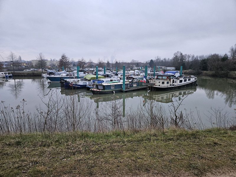
Day
Nauort
Westerwaldkreis, Rheinland-Pfalz, Deutschland
50° 27' 56.9" N 7° 37' 33.5" E
50.4658027 7.6259789