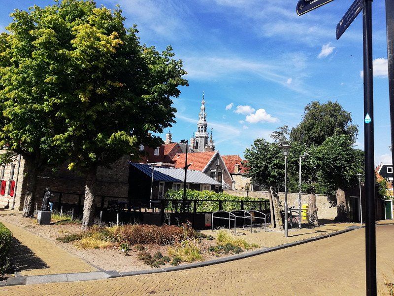
The Holland tour started on August 22, 2022 in 58762 Altena. Our first destination was the Emsland Camp in the border area with Holland.
Day
Altenaer Straße
First of all, I would like to point out that we are ACSI card holders and, if possible, we also drive to the campsites specified in the ACSI app. The prices given in my description are usually the discounted ACSI prices!
58762 Altena, Deutschland
51° 17' 51.9" N 7° 44' 34.1" E
51.2977622 7.7427936
• Head toward Mühlenstraße on Altenaer Straße (L698). Go for 1.6 km.
• Turn left onto Ihmerter Straße (L698). Go for 4.2 km.
• Turn left onto Bachstraße. Go for 74 m.
• Continue on Linscheidstraße. Go for 38 m.
• Take the 1st exit from roundabout onto Linscheidstraße. Go for 930 m.
• Take the 2nd exit from roundabout onto Hagener Straße (B236) toward Schwerte/Iserlohn. Go for 9.2 km.
• Turn left onto Untergrüner Straße (B236) toward Hagen/A46/Iserlohn/Schwerte/Gewerbegebiet Diepke/Gewerbegebiet Stenglingsen. Go for 1.5 km.
• Take left ramp onto A46 toward Hagen/Dortmund/B236/Schwerte. Go for 7.4 km.
• Take exit 11 toward Dortmund/Köln onto A45. Go for 8.2 km.
• Take exit 9 toward Bremen/Hannover/A2/Kassel/A44/Flughafen Dortmund onto A1. Go for 68.2 km.
• Take exit 77 toward Gronau/Steinfurt/Rheine onto B54. Go for 42.7 km.
• Take ramp onto A31 toward Emden. Go for 68.5 km.
• Take exit 20 toward Wesuwe/Hebelermeer. Go for 280 m.
• Turn left onto Wierescher Straße (K228) toward Hebelermeer/Fehndorf/Wesuwe Siedlung. Go for 1.1 km.
• Take the 1st exit from roundabout onto Süd-Nord-Straße (K225) toward Altenberge. Go for 2.8 km.
• Turn left onto Segberg (K242). Go for 633 m.
• Continue on Harener Straße (K242). Go for 59 m.
• Arrive at Harener Straße (K242). Your destination is on the left.
☍
217,5 km
(2 hrs. 22 min.)
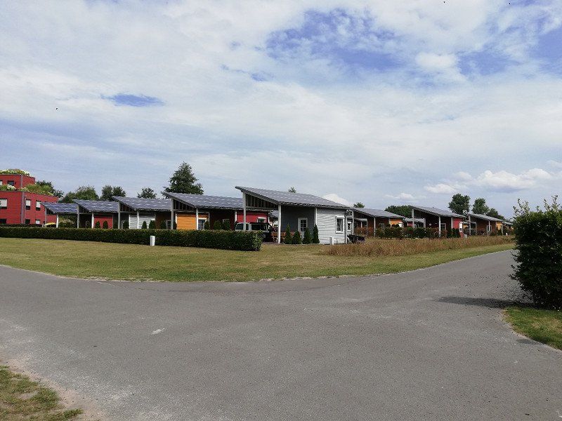
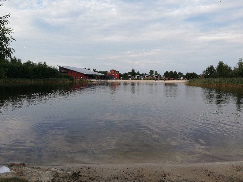
EMSLAND-CAMP
We made the first stop with our mobile home at the Ensland Camp in Haren.
This place is absolutely modern designed, well organized and very well maintained!
There are different types of accommodation to rent and all are good value for money (I think).
We stood in front of the barrier with the mobile home. Water, waste water and 16A electricity (must be paid extra / approx. 70 cents/kwh) is located on each pitch. Each pitch has its own terrace and the sanitary building is modern and clean.
At the Emsland camp, pitches with their own toilet building or holiday homes with additional mobile home/caravan parking spaces can be rented. This is useful, for example, if you are planning a holiday with friends (or similar) who do not own a camper themselves!
Dankern Castle is easy to reach by bike.
Harener Str. 34, 49733, Haren, Deutschland
52° 46' 42.3" N 7° 7' 14.7" E
52.7784100 7.1207500
• Head toward Zur Heide on Harener Straße (K242). Go for 59 m.
• Continue on Segberg (K242). Go for 633 m.
• Turn right onto Süd-Nord-Straße (K225). Go for 2.8 km.
• Take the 3rd exit from roundabout onto Wierescher Straße (K228). Go for 1.1 km.
• Turn right and take ramp onto A31 toward Emden/Leer. Go for 35.8 km.
• Take exit 16 toward Bellingwolde. Go for 253 m.
• Turn right onto Bellingwolder Straße (L52) toward Winschoten/Bellingwolde. Go for 2.8 km.
• Continue on Rhederweg (N969). Go for 10.8 km.
• Take the 1st exit from roundabout onto N368. Go for 810 m.
• Take the 2nd exit from roundabout onto N367. Go for 1.7 km.
• Take the 3rd exit from roundabout onto Blijhamsterweg. Go for 664 m.
• Take the 2nd exit from roundabout onto Blijhamsterweg. Go for 544 m.
• Continue on Wilhelminasingel. Go for 527 m.
• Continue on Beertsterweg. Go for 86 m.
• Turn right onto Beertsterweg. Go for 45 m.
• Turn right onto Beertsterweg. Go for 72 m.
• Turn right onto Beertsterweg. Go for 80 m.
• Continue on Hellingbaan. Go for 65 m.
• Arrive at Hellingbaan. Your destination is on the right.
☍
58,8 km
( 40 min.)
Day
Day
Day
Day
Day
Day
Day
Hellingbaan 4
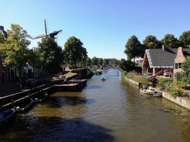
After a short drive we find the parking space at the marina in Winschoten.
The small town is within walking distance. We recommend a bike ride around the nearby Oldambtmeer!
The parking space costs €15/day (including €2 tourist tax and €3 electricity/16 amps) for 2 people.
The sanitary container does not make a good impression at first glance, but it was always clean and cleaned.
Unfortunately, there is a scrap dealer (or similar) near the parking space, which starts operating around 7 a.m. and disturbs the rest of the peace a bit (weekdays)
Supermarkets are easily accessible by bike.
Winschoten, Niederlande
53° 8' 37.5" N 7° 2' 51" E
53.1437371 7.0474952
• Head toward Transportbaan on Hellingbaan. Go for 139 m.
• Turn left onto Transportbaan. Go for 272 m.
• Take the 1st exit from roundabout onto Beertsterweg. Go for 498 m.
• Take the 2nd exit from roundabout onto Beertsterweg. Go for 491 m.
• Take the 2nd exit from roundabout onto Beertsterweg (N367). Go for 357 m.
• Take the 4th exit from roundabout onto Noordereinde toward Hoogezand/Groningen. Go for 221 m.
• Take ramp onto A7. Go for 32.5 km.
• Take ramp onto Knooppunt Euvelgunne (N7) toward RING-Zuid/Amsterdam/Drachten/Assen (A28). Go for 36.5 km.
• Take exit 30A toward Drachten/Burgum/Leeuwarden onto N31 (Waldwei). Go for 8.7 km.
• Take ramp toward Burgum/Dokkum. Go for 752 m.
• Turn right onto Sintrale as (N356) toward Burgum/Dokkum. Go for 20.9 km.
• Keep left toward Sintrale as/N356. Go for 34 m.
• Take the 3rd exit from roundabout onto N361 toward Ziekenhuis De Sionsberg/Industrieterrein Hogedijken/Damwâld. Go for 644 m.
• Take the 2nd exit from roundabout onto Lauwersseewei (N361). Go for 1.2 km.
• Take the 1st exit from roundabout onto Rondweg-West (N356). Go for 697 m.
• Pass 2 roundabouts and continue on Rondweg-West (N356). Go for 1.2 km.
• Take the 3rd exit from roundabout onto Holwerderweg (N356). Go for 5.1 km.
• Turn right onto Roasterwei. Go for 119 m.
• Continue on Fjildbuorsterwei. Go for 514 m.
• Arrive at Fjildbuorsterwei.
☍
110,8 km
(1 hrs. 15 min.)
Day
Day
Day
Fjildbuorsterwei
Continue to Camperplaats Veldzicht. This parking space is about 7km above the beautiful town of Dokkum and costs €17/day including electricity (16A).
The operator is very friendly and everything is super well maintained. Cleanliness is definitely given here.
Unfortunately we had a lot of mosquitoes during our stay and therefore it is advisable to close the mosquito nets all the time.
9153 AX Brantgum, Niederlande
53° 21' 21.9" N 5° 56' 12.6" E
53.3560924 5.9368222
• Head toward Sjuksmawei on Fjildbuorsterwei. Go for 514 m.
• Continue on Roasterwei. Go for 119 m.
• Turn right onto Ids Wiersmastrjitte (N356). Go for 3.1 km.
• Take the 3rd exit from roundabout onto Ljouwerterdyk (N357). Go for 10.7 km.
• Pass 2 roundabouts and continue on Ljouwerterdyk (N357). Go for 5.3 km.
• Turn right onto Middelseewei (N398). Go for 965 m.
• Take the 2nd exit from roundabout onto Middelseewei (N398). Go for 4.0 km.
• Take the 2nd exit from roundabout onto Middelseewei (N398). Go for 1.5 km.
• Take the 2nd exit from roundabout onto Westergoawei (N383). Go for 2.2 km.
• Keep right toward Westergoawei/N383. Go for 33 m.
• Take the 2nd exit from roundabout onto Westergoawei (N383). Go for 186 m.
• Take the 1st exit from roundabout onto A31 (Waadseewei) toward Dronrijp/Harlingen. Go for 11.5 km.
• Take exit 20 toward Franeker/Dongjum/Sexbierum. Go for 548 m.
• Take the 3rd exit from roundabout onto Franekerweg (N384). Go for 741 m.
• Take the 2nd exit from roundabout onto Hertog van Saxenlaan (N384). Go for 231 m.
• Take the 3rd exit from roundabout onto Burgemeester J. Dijkstraweg. Go for 1.1 km.
• Turn right onto Burgemeester J. Dijkstraweg. Go for 94 m.
• Turn right onto Burgemeester J. Dijkstraweg. Go for 55 m.
• Arrive at Burgemeester J. Dijkstraweg. Your destination is on the left.
☍
42,8 km
( 36 min.)
Day
Day
Day
Day
Day
Day
Stadscamping Bloemketerp
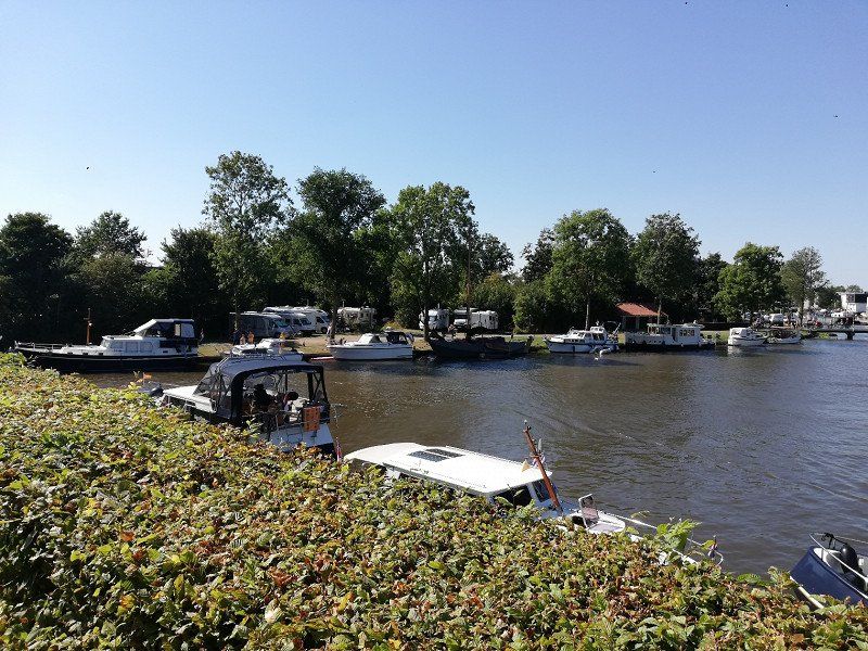
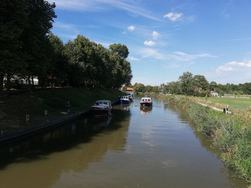
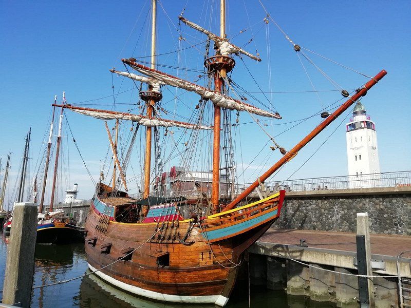
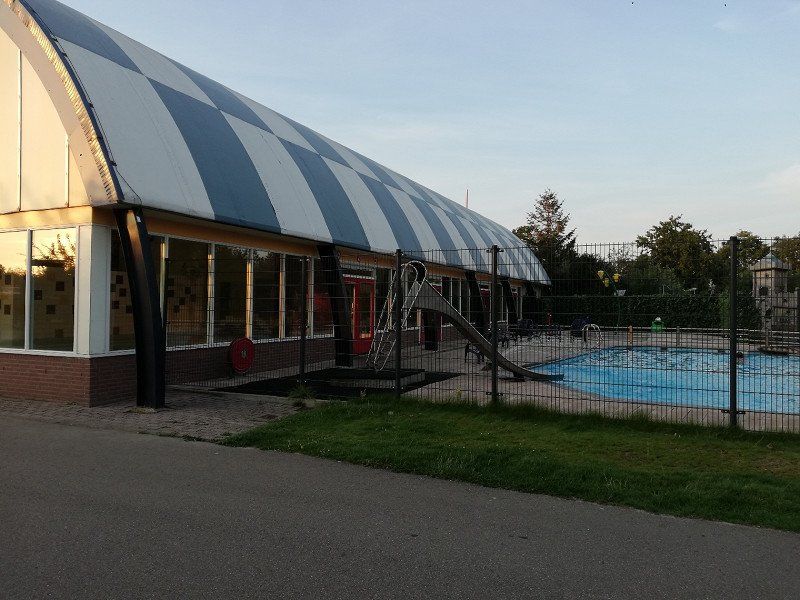
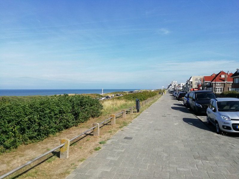
The next stop on our trip was Recreatiepark Bloemketerp in the small town of Franeker. The city is located between Harlingen (approx. 10km) and Leeuwarden (approx. 18km). Both cities are easy to reach via well-developed cycle paths in a short time.
With the ACSI card, the campsite cost €18/day (including electricity/10 amps). The pitches are large and have a water/sewage connection. The sanitary building is older, but was cleaned daily. Adjacent to the site is an indoor swimming pool (additional entry fee has to be paid though)
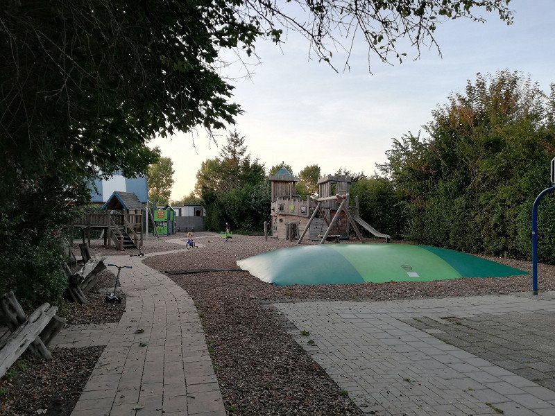
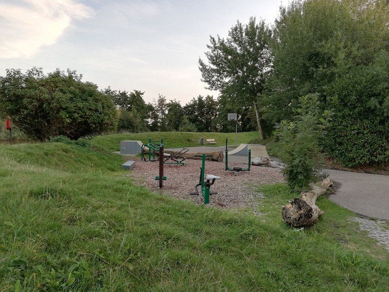
A great gym is also part of the site and can be used free of charge for camping guests.
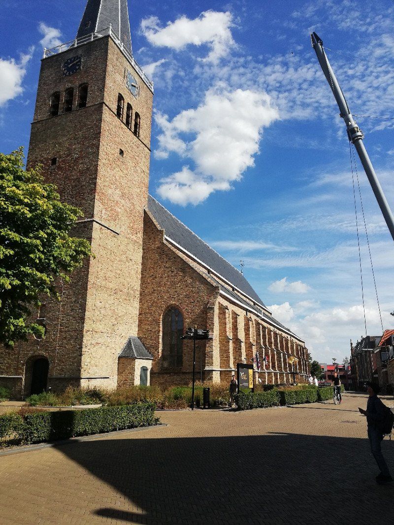
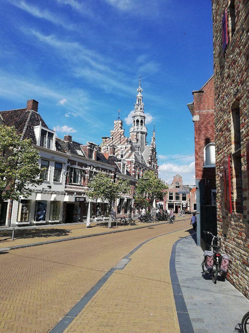
The town of Franeker makes a good and orderly impression and can be easily reached on foot in 5 minutes. A walk through the small park on the outskirts of town is recommended.
The supermarkets Albert Heijn and Lidl are only about 75m from the campsite. They are very well equipped and recommended. There is also an ATM at the Albert Heijn.
The campsite itself only makes a mediocre impression on me and would get 3 out of 5 stars from me. Craftsmen would have to work there for a few days to make improvements!
However, the infrastructure on and around the campsite is great!
Burg. J. Dijkstraweg 3, 8800 AA, Faneker, Niederlande
53° 11' 21" N 5° 33' 9" E
53.1891700 5.5525000
• Head northeast on Burgemeester J. Dijkstraweg. Go for 55 m.
• Turn left onto Burgemeester J. Dijkstraweg. Go for 94 m.
• Turn left onto Burgemeester J. Dijkstraweg. Go for 1.1 km.
• Take the 1st exit from roundabout onto Hertog van Saxenlaan (N384). Go for 207 m.
• Take the 2nd exit from roundabout onto Hertog van Saxenlaan (N384). Go for 706 m.
• Take the 1st exit from roundabout onto A31 toward Harlingen/Amsterdam. Go for 6.7 km.
• Continue on N31. Go for 9.9 km.
• Keep left onto A31 toward Den Helder/Amsterdam/A7/E22. Go for 1.9 km.
• Continue on A7 (Afsluitdijk). Go for 88.1 km.
• Take the exit toward Amsterdam/Zaanstad-Zuid/A7 onto A8. Go for 4.2 km.
• Take the exit toward Ring-West/Rotterdam/Luchthaven Schiphol/A10 onto A8 (Knooppunt Coenplein). Go for 1.5 km.
• Continue on A10 (Ring Amsterdam). Go for 1.8 km.
• Keep right onto A10 toward Amsterdam-Hemhavens. Go for 617 m.
• Continue on A5. Go for 18.2 km.
• Continue on A4 (Knooppunt de Hoek). Go for 7.4 km.
• Keep right onto A44 (Knooppunt Burgerveen) toward Den Haag-Centrum/Leiden-West/Sassenheim. Go for 12.3 km.
• Take exit 6 toward Noordwijk/Oegstgeest-Noord. Go for 321 m.
• Turn right onto Leidsevaart (N444) toward Voorhout/Noordwijk. Go for 145 m.
• Take the 2nd exit from roundabout onto Leidsevaart (N444). Go for 1.5 km.
• Keep left toward Leidsevaart/N444. Go for 10 m.
• Take the 3rd exit from roundabout onto Rijnsburgerweg. Go for 2.1 km.
• Continue on Voorhouterweg. Go for 782 m.
• Turn left onto Vinkenweg. Go for 179 m.
• Turn left onto Elsgeesterweg. Go for 142 m.
• Turn right. Go for 47 m.
• Arrive at your destination on the right.
☍
160,0 km
(1 hrs. 42 min.)
Day
Day
Day
Day
Day
Day
Vakantiepark Koningshof
Our next port of call was Vakantiepark Koningshof in Rijnsburg. The campsite makes a neat and clean impression. The staff were always friendly. From the campsite you can make beautiful bike rides (e.g. to Noordwijk).
Note: I am of the opinion that the campsite is only suitable for an overnight stay, for example if you cannot or do not want to continue, although the campsite is very nice.
Here is the reason for my recommendation:
Very, very low flying passenger planes fly over the campsite from morning to night. Even at night, the place is constantly disturbed by aircraft noise. In addition, you have to pay a tourist tax of €1.40/day/person for this constant noise. For the reasons mentioned, I think that you should only book a short period of time so that you can get an idea of the circumstances for yourself.
Because you have to pay for your stay at the reception in advance, it is probably better to only pay for a short period of time (with the option to extend it / if the aircraft noise doesn't bother you).
I think it makes more sense to be a bit more cautious about online bookings. Heavy air traffic must be expected in this region (departures and arrivals from Amsterdam and Rotterdam airports!!???)
Elsgeesterweg 8, 2231 NW, Rijnsburg, Niederlande
52° 11' 59" N 4° 27' 24.2" E
52.1997100 4.4567100
• Head northwest. Go for 47 m.
• Turn left onto Elsgeesterweg. Go for 142 m.
• Turn right onto Vinkenweg. Go for 179 m.
• Turn left onto Voorhouterweg. Go for 479 m.
• Turn right onto Voorhouterweg. Go for 173 m.
• Take the 3rd exit from roundabout onto Noordwijkerweg (N449). Go for 379 m.
• Continue on Brouwerstraat. Go for 468 m.
• Continue on Oegstgeesterweg. Go for 243 m.
• Take the 3rd exit from roundabout onto Rijnsburgerweg. Go for 345 m.
• Take the 2nd exit from roundabout onto Rijnsburgerweg. Go for 839 m.
• Continue on Rijnzichtweg. Go for 359 m.
• Turn right and take ramp onto A44 toward Leiden/Den Haag. Go for 2.6 km.
• Take the exit toward Utrecht/Rotterdam/Den Haag/Leiden-Oost onto N434. Go for 4.7 km.
• Take ramp onto A4 toward Rotterdam/Den Haag. Go for 7.2 km.
• Keep left onto A4 (Leidschendam) toward E30/Ring-Oost/Rotterdam/Den Haag-Zuid/Rijswijk. Go for 17.6 km.
• Keep right onto A4 toward A20/Ring-N/Utrecht/Schiedam/Hoek v. Holland/Vlaardingen. Go for 2.2 km.
• Take the exit toward Hoek v. Holland/Vlaardingen onto A20 (Knooppunt Kethelplein). Go for 4.6 km.
• Take the left exit onto A24. Go for 4.1 km.
• Take the left exit toward Middleburg/Europoort/Maasvlakte/Rozenburg onto A15 (Europaweg). Go for 3.5 km.
• Take exit 12 toward Brielle/Hellevoetsluis/Middelburg/N57 onto N15. Go for 918 m.
• Continue on Harmsenbrug (N57). Go for 6.2 km.
• Keep right toward Rockanje/Goedereede/Middelburg. Go for 27 m.
• Take the 1st exit from roundabout onto Dammenweg (N57) toward Rockanje/Goedereede/Middelburg. Go for 2.7 km.
• Keep right toward Goedereede/Middelburg. Go for 35 m.
• Take the 2nd exit from roundabout onto Dammenweg (N57) toward Goedereede/Middelburg. Go for 2.4 km.
• Keep right toward Goedereede/Middelburg. Go for 28 m.
• Take the 1st exit from roundabout onto Dammenweg (N57) toward Goedereede/Middelburg. Go for 7.3 km.
• Keep right onto N57 toward Middelburg/Ouddorp/Goedereede. Go for 2.3 km.
• Continue on Provincialeweg (N57) toward Ouddorp/Zierikzee/Middelburg. Go for 2.9 km.
• Keep right toward Zierikzee/Middelburg. Go for 24 m.
• Take the 2nd exit from roundabout onto Oudelandse Zeedijk (N57) toward Zierikzee/Middelburg. Go for 5.1 km.
• Keep right toward Renesse/Zierikzee/Middelburg. Go for 27 m.
• Take the 2nd exit from roundabout onto N57 toward Renesse/Zierikzee/Middelburg. Go for 7.0 km.
• Take ramp toward Ellemeet/Scharendijke/Brouwershaven. Go for 1.2 km.
• Take the 2nd exit from roundabout onto N652 toward Renesse. Go for 1.4 km.
• Take the 2nd exit from roundabout onto N652 toward Renesse/Burgh-Haamstede. Go for 1.3 km.
• Take the 2nd exit from roundabout onto Recreatieverdeelweg (N652) toward Bedrijventerrein Duinzoom/Renesse-West/Burgh-Haamstede. Go for 498 m.
• Pass 2 roundabouts and continue on Recreatieverdeelweg (N652). Go for 4.0 km.
• Take the 1st exit from roundabout onto Serooskerkseweg toward Burgh-Haamstede/Nieuw-Haamstede. Go for 395 m.
• Continue on Kloosterweg. Go for 2.0 km.
• Turn right onto Maireweg. Go for 980 m.
• Turn left onto J.J. Boeijesweg. Go for 63 m.
• Arrive at J.J. Boeijesweg.
☍
99,0 km
(1 hrs. 21 min.)
Day
Day
Camping De Duinhoeve
After Vakantiepark Koningshof in Rijnsburg (we made the mistake of booking and paying for 3 days there ourselves / see the previous report) we looked for another campsite about 100 km away as quickly as possible and found it with Camping De Duinhoeve . Here everything was as you imagine camping in September and in the off-season.
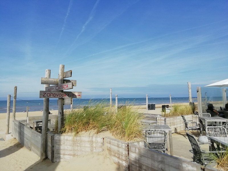
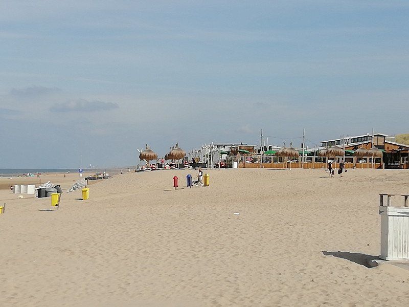
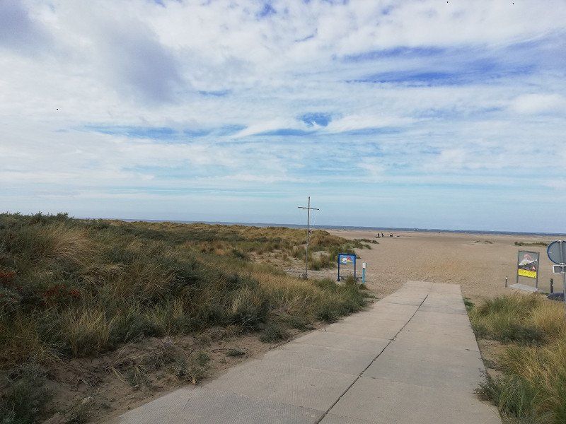
The reception at the front desk was friendly and very competent. The place makes a neat and clean impression. The pitches are quite large and the cycle paths, for example in the direction of Renesse, are just beautiful. The town of Renesse is also worth a visit.
Here we found the idyllic peace (without aircraft noise!). It should also be mentioned that there is a very well stocked supermarket on the campsite.
J J Boeijesweg 62, 4328 HC, Burgh Haamstede, Niederlande
51° 43' 21" N 3° 43' 47" E
51.7225000 3.7297200
• Head toward Maireweg on J.J. Boeijesweg. Go for 63 m.
• Turn right onto Maireweg. Go for 980 m.
• Turn left onto Kloosterweg. Go for 2.0 km.
• Continue on Serooskerkseweg. Go for 375 m.
• Take the 1st exit from roundabout onto Serooskerkseweg (N652) toward Westenschouwen/Middelburg/Zierikzee/Rotterdam/Burgh-Haamstede/Nieuw-Haamstede. Go for 415 m.
• Take the 2nd exit from roundabout onto Kraaijensteinweg (N57) toward Neeltje Jans/Westenschouwen/Middelburg. Go for 683 m.
• Pass 6 roundabouts and continue on N57. Go for 22.3 km.
• Take the 1st exit from roundabout onto Gapingseweg toward Serooskerke/Grijpskerke. Go for 186 m.
• Take the 2nd exit from roundabout onto Wilgenhoekweg. Go for 275 m.
• Continue on Hondegemsweg. Go for 2.9 km.
• Turn right onto Schuitvlotstraat. Go for 232 m.
• Continue on Loodholseweg. Go for 1.8 km.
• Continue on Pekelingseweg. Go for 1.4 km.
• Turn right onto Aagtekerkseweg. Go for 496 m.
• Turn left onto Westhovenseweg. Go for 353 m.
• Turn left onto Zuiverseweg. Go for 485 m.
• Turn right. Go for 19 m.
• Arrive at your destination on the right.
☍
35,0 km
( 37 min.)
Day
Day
Ardoer Camping Westhove
Since the weather forecast was not good for a long time, we ended our tour and decided to go back home.
We actually wanted to drive to two stations later and that's why I'm sharing them here.
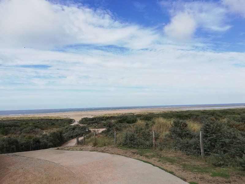
We would have approached the Westhove campsite. We visited this place a few years ago. We liked the campsite at the time and it is only about 1km from Domburg. Middelburg is also easy to reach by bike and worth a visit.
I don't know if anything has changed for the worse in the meantime.
Zuiverseweg 20, 4357 NM, Domburg, Niederlande
51° 33' 21" N 3° 30' 55" E
51.5558300 3.5152800
• Head north. Go for 48 m.
• Turn left toward Zuiverseweg. Go for 19 m.
• Turn left onto Zuiverseweg. Go for 491 m.
• Turn right onto Westhovenseweg. Go for 396 m.
• Turn right onto Aagtekerkseweg. Go for 496 m.
• Turn left onto Pekelingseweg. Go for 1.4 km.
• Continue on Loodholseweg. Go for 1.8 km.
• Continue on Schuitvlotstraat. Go for 232 m.
• Turn left onto Hondegemsweg. Go for 2.9 km.
• Continue on Wilgenhoekweg. Go for 225 m.
• Take the 2nd exit from roundabout onto Gapingseweg. Go for 227 m.
• Take the 1st exit from roundabout onto N57 toward Middelburg/Vlissingen/Terneuzen (Tol)/Bergen op Zoom. Go for 2.9 km.
• Take the 2nd exit from roundabout onto Havenpoortweg (N57) toward Middelburg/Vlissingen/Bergen op Zoom/Terneuzen (Tol). Go for 4.8 km.
• Take left ramp onto A58 toward Bergen op Zoom/Goes. Go for 47.6 km.
• Take the exit toward Antwerpen onto A4 (Zoomweg-Zuid). Go for 6.7 km.
• Continue on A12 (Havenweg). Go for 16.7 km.
• Take the exit toward Gent/Brussel/Luik/Antwerpen-Centrum onto E19 (Ring Antwerpen 1). Go for 6.0 km.
• Take the exit toward Luik/Hasselt/Eindhoven/Turnhout onto E34 (Antwerpen-Oost). Go for 10.0 km.
• Keep right onto E34 (Ranst) toward Eindhoven/Turnhout. Go for 49.4 km.
• Continue on A67. Go for 18.0 km.
• Take the exit toward Maastricht/Venlo/A67 onto A2 (Knooppunt de Hogt). Go for 4.5 km.
• Keep right onto A67 toward Duisburg/Venlo. Go for 52.2 km.
• Continue on A40. Go for 14.9 km.
• Take exit 5 toward Kempen/Aldekerk. Go for 281 m.
• Turn right onto L362 toward Kerken-Aldekerk. Go for 3.2 km.
• Turn left onto Hülser Straße (B9). Go for 893 m.
• Turn right onto Rheurdter Straße (B510) toward Rheinberg/Rheurdt. Go for 368 m.
• Turn left onto Issumer Straße (L362) toward Issum/Sevelen. Go for 5.6 km.
• Take the 2nd exit from roundabout onto Sevelener Straße (L362). Go for 3.9 km.
• Turn left onto L362. Go for 5.3 km.
• Turn right onto Am Hülshof (K20). Go for 7.2 km.
• Turn left onto Dickstraße (K23). Go for 5.8 km.
• Turn right onto Augustusring (L480). Go for 417 m.
• Turn right onto Fürstenberg. Go for 164 m.
• Turn right. Go for 199 m.
• Arrive at your destination on the right.
☍
275,3 km
(3 hrs. 10 min.)
Wohnmobilpark Xanten
The last stop on our originally planned tour would have been the mobile home park in Xanten. We have also been here before and have good memories of the parking space and the beautiful town with the Roman Museum or the Xanten South Sea.
Note: It's been a few years since our last visit to Xanten, so I understandably can't provide any current information here.
From Xanten we would have driven back to our hometown Altena.
Fürstenberg 6, 46509, Xanten, Deutschland
51° 39' 17" N 6° 27' 48" E
51.6547222 6.4633333
• Head northwest. Go for 382 m.
• Turn left onto Fürstenberg. Go for 164 m.
• Turn right onto Augustusring (L480). Go for 282 m.
• Turn right onto Rheinberger Straße (B57). Go for 22.9 km.
• Take ramp onto A42 toward Dortmund. Go for 54.0 km.
• Take exit 27 toward Frankfurt a.M./Dortmund onto A45. Go for 45.4 km.
• Take exit 13 toward Lüdenscheid-Nord/Altena/Schalksmühle/Nachrodt/Wiblingwerde. Go for 532 m.
• Turn left onto L692. Go for 221 m.
• Take the 2nd exit from roundabout onto L692 toward Nachrodt/Wiblingwerde. Go for 2.1 km.
• Turn right onto Großendrescheid. Go for 1.1 km.
• Turn slightly left onto Großendrescheid. Go for 38 m.
• Turn slightly right onto Großendrescheid. Go for 107 m.
• Turn slightly left onto Großendrescheid. Go for 867 m.
• Turn right. Go for 20 m.
• Turn right. Go for 331 m.
• Arrive at your destination on the right.
☍
128,5 km
(1 hrs. 33 min.)
58762
Return to hometown
Altena, Deutschland
51° 16' 30.8" N 7° 39' 30.9" E
51.2752109 7.6585750