Very nice holiday in Istria under Corona conditions, which could have ended quickly at any time.
Day
47906 Kempen, Deutschland
Start around 3:00 p.m. ?
51° 22' 13.8" N 6° 25' 38.5" E
51.3704929 6.4273577
• Head toward Am Selder. Go for 107 m.
• Turn right onto Am Selder. Go for 157 m.
• Turn right onto Arnoldstraße. Go for 474 m.
• Turn right onto Sankt-Huberter-Straße. Go for 316 m.
• Turn right onto Hülser Straße. Go for 82 m.
• Turn left onto Sankt-Töniser-Straße (K11) toward Tönisvorst. Go for 299 m.
• Continue on Sankt-Töniser-Straße. Go for 5.4 km.
• Pass 2 roundabouts and continue on L362. Go for 1.9 km.
• Continue on Düsseldorfer Straße (L379) toward Krefeld/A44/Mönchengladbach/Willich/Anrath. Go for 1.3 km.
• Take the 2nd exit from roundabout onto Düsseldorfer Straße (L379) toward A44/Willich/Anrath. Go for 4.2 km.
• Take ramp onto A44 toward Mönchengladbach. Go for 3.1 km.
• Take the exit toward Roermond/Flughafen/Mg-Ost/Düsseldorf onto A52. Go for 11.6 km.
• Take exit 13 toward Köln onto A57. Go for 39.5 km.
• Continue on K4. Go for 1.1 km.
• Keep left onto K4 toward Flughafen/Zoobrücke. Go for 579 m.
• Continue on Innere Kanalstraße (L100). Go for 7.3 km.
• Continue on A4 toward Oberhausen/Frankfurt a.M./Flughafen Bonn. Go for 21 m.
• Take the exit toward Frankfurt a.M./Flughafen Bonn onto A3/A4. Go for 3.2 km.
• Continue on A3 toward Frankfurt a.M. Go for 293 km.
• Take exit 71 toward Ochsenfurt. Go for 527 m.
• Turn left onto B13 toward Ansbach/Ochsenfurt/München. Go for 3.8 km.
• Take ramp toward Sommerhausen/Erlach/Winterhausen/Goßmannsdorf/Giebelstadt. Go for 230 m.
• Turn left onto WÜ16. Go for 211 m.
• Take the 1st exit from roundabout. Go for 41 m.
• Continue on Jahnstraße. Go for 191 m.
• Continue on Hauptstraße. Go for 363 m.
• Arrive at Hauptstraße. Your destination is on the left.
☍
379,3 km
(3 hrs. 32 min.)
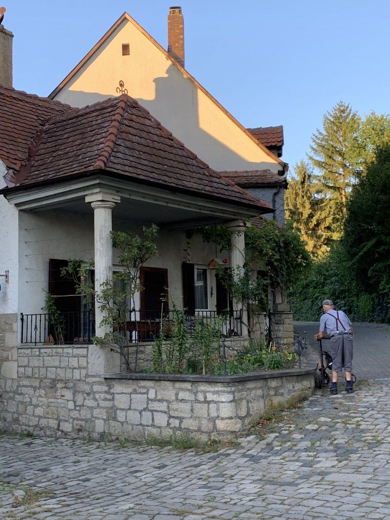
Sommerhausen, Deutschland
Nice cozy wine village on the Main. Parking space directly on the Main in a parking lot
49° 42' 13.4" N 10° 1' 30.3" E
49.7037185 10.0250830
• Head south on Hauptstraße. Go for 14 m.
• Continue on Ochsenfurter Straße. Go for 746 m.
• Turn right onto Industriestraße. Go for 264 m.
• Turn left and take ramp onto B13. Go for 2.3 km.
• Take the 2nd exit from roundabout onto B13 toward Ulm/A7/Ansbach/Donauwörth/Rothenburg o.d.T./Ochsenfurt. Go for 2.5 km.
• Continue on Jahnstraße (B13). Go for 6.7 km.
• Take the 2nd exit from roundabout onto B13 toward Ulm/A7/Ansbach/Uffenheim/Donauwörth/Rothenburg o.d.T. Go for 2.7 km.
• Turn right onto Rodheimer Straße (NEA50) toward Langensteinach/Rodheim. Go for 121 m.
• Continue on NEA50. Go for 1.3 km.
• Continue on Heerstraße (NEA50). Go for 311 m.
• Continue on NEA50. Go for 2.1 km.
• Continue on Rodheimer Straße (NEA50). Go for 181 m.
• Turn left onto Dorfstraße (NEA41). Go for 175 m.
• Turn right onto Adelhöfer Straße (NEA50). Go for 309 m.
• Continue on NEA50. Go for 3.1 km.
• Continue on Adelhofen (NEA50). Go for 440 m.
• Continue on NEA50. Go for 4.2 km.
• Continue on Langensteinach (NEA50). Go for 299 m.
• Turn right onto Langensteinach (NEA51). Go for 338 m.
• Turn right onto Langensteinach (NEA51). Go for 588 m.
• Continue on NEA51. Go for 2.3 km.
• Continue on AN31. Go for 536 m.
• Continue on Großharbach (AN31). Go for 422 m.
• Turn left onto Großharbach (AN32). Go for 301 m.
• Continue on AN32. Go for 1.8 km.
• Continue on Gickelhausen (AN32). Go for 358 m.
• Turn right onto Gickelhausen (AN8). Go for 134 m.
• Continue on AN8. Go for 1.2 km.
• Continue on Ruckertshofen (AN8). Go for 300 m.
• Continue on AN8. Go for 216 m.
• Continue on Dorfstraße (AN8). Go for 413 m.
• Turn left onto Hauptstraße (St2416). Go for 70 m.
• Turn right onto Rothenburger Straße (AN8). Go for 157 m.
• Continue on AN8. Go for 2.5 km.
• Continue on Gattenhofen (AN8). Go for 634 m.
• Turn right onto Gattenhofen (AN8). Go for 248 m.
• Continue on AN8. Go for 617 m.
• Turn right onto St2419 toward Feuchtwangen/Rothenburg o.d.T. Go for 3.9 km.
• Arrive at Würzburger Straße (St2419). Your destination is on the left.
☍
44,6 km
( 41 min.)
Day
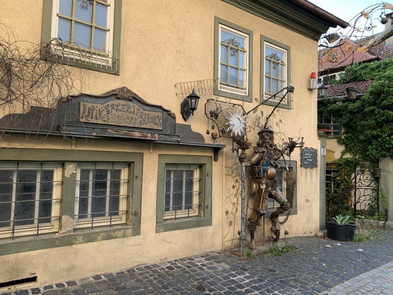
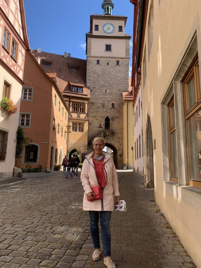
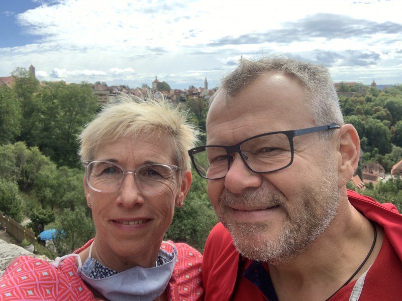
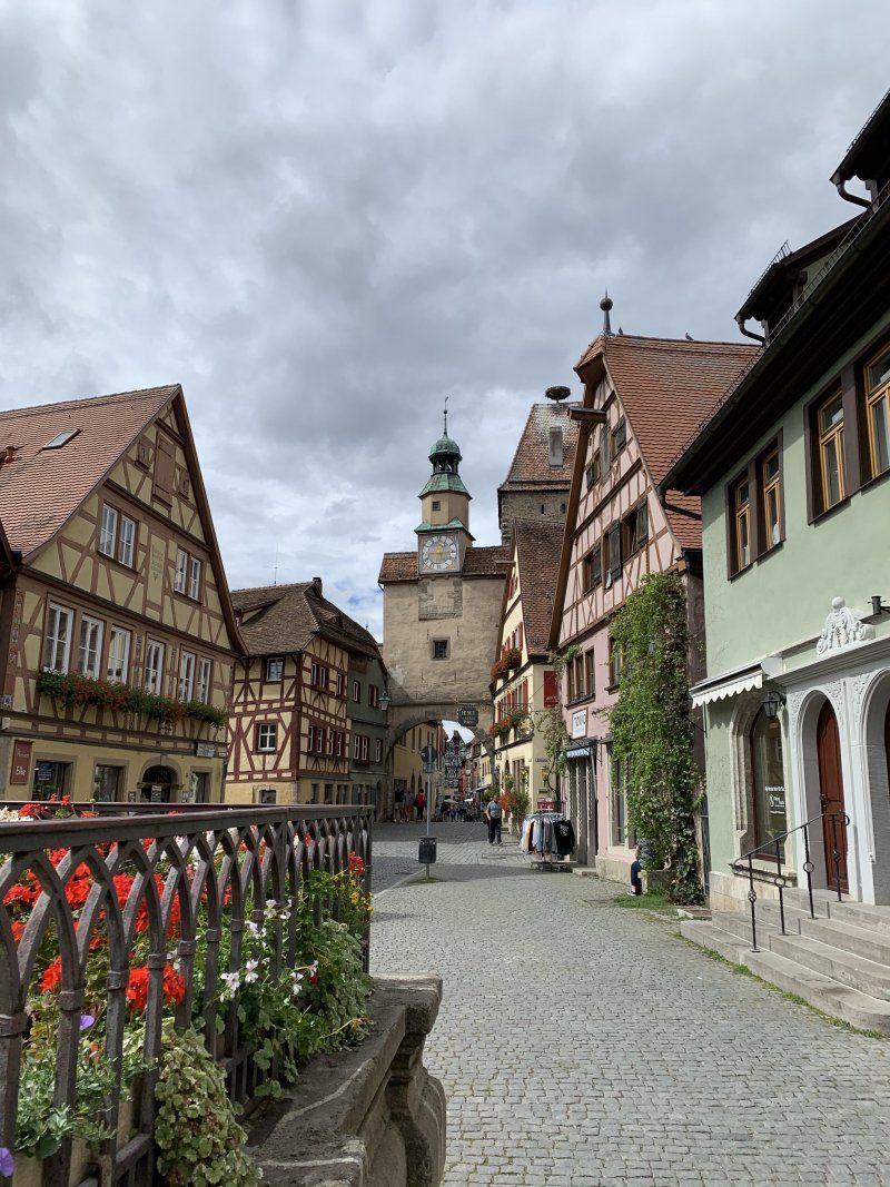
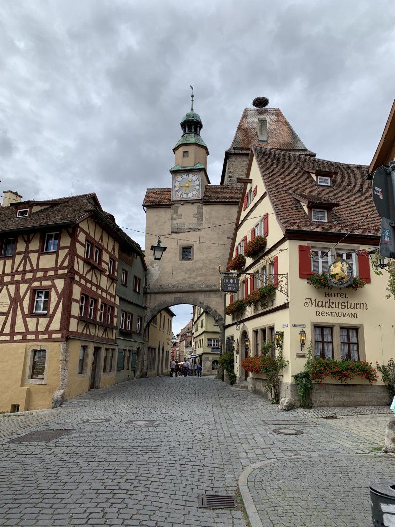
Rothenburg ob der Tauber, Deutschland
Stroll through the place in warm temperatures and in the sunshine. Fortunately not so crowded in Corona times??
P3 day ticket € 12
49° 22' 48.7" N 10° 11' 12.3" E
49.3801834 10.1867388
• Head southeast on Würzburger Straße (St2419). Go for 463 m.
• Turn right onto Bahnhofstraße (St2419). Go for 354 m.
• Continue on Ansbacher Straße (St2250) toward A7/Würzburg/Ulm/Ansbach/Colmberg/Krankenhaus. Go for 907 m.
• Take the 2nd exit from roundabout onto St2250. Go for 753 m.
• Turn left and take ramp onto A7 toward Ulm. Go for 14.3 km.
• Take exit 109 toward Wörnitz/Wettringen/Dombühl/Schillingsfürst. Go for 289 m.
• Turn right onto St2419 toward Feuchtwangen/Dombühl/Wörnitz. Go for 823 m.
• Take the 2nd exit from roundabout onto St2419 toward Heilbronn/Amberg/Dinkelsbühl/Feuchtwangen. Go for 4.8 km.
• Continue on B25. Go for 232 m.
• Take ramp onto A6 toward Nürnberg. Go for 23.7 km.
• Take exit 52 toward Weißenburg/Wassertrüdingen/Gunzenhausen/Weidenbach-Triesdorf/Fränkisches Seenland onto B13. Go for 21.1 km.
• Turn right onto B13/B466 toward München/Weißenburg/Nördlingen/Gunzenhausen/Altmühlsee Südufer. Go for 938 m.
• Continue on B466 toward Nördlingen/Altmühlsee Südufer. Go for 896 m.
• Arrive at B466.
☍
69,5 km
( 45 min.)
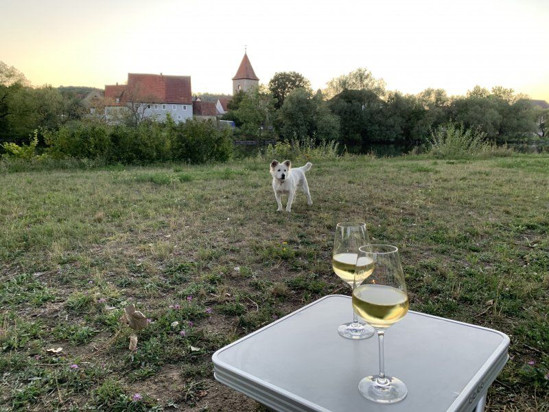
Gunzenhausen, Deutschland
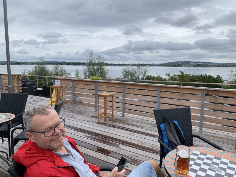
Parking space at the Altmühlsee with supply and disposal. Price - performance 17, - € (including tourist tax per day) without toilet and shower is not in proportion for us.
Arrival in pouring rain. Also very heavy rain on the way. I was very lucky in Rothenburg odT?
91710 Gunzenhausen, Deutschland
49° 7' 12.3" N 10° 43' 54.8" E
49.1200802 10.7318864
• Head southwest on B466.
• Arrive at B466.
☍
Distance not available
(Duration not available)
Day
Gunzenhausen, Deutschland
Bike tour around the Altmühlsee (13 km)
91710 Gunzenhausen, Deutschland
49° 7' 12.3" N 10° 43' 54.8" E
49.1200802 10.7318864
• Head northeast on B466. Go for 852 m.
• Turn right onto B13 toward München/Weißenburg/Gunzenhausen. Go for 1.1 km.
• Turn left onto Oettinger Straße toward Gunzenhausen. Go for 581 m.
• Continue on Marktplatz. Go for 40 m.
• Continue on Gerberstraße. Go for 113 m.
• Turn left onto Bahnhofstraße. Go for 141 m.
• Turn right onto Nürnberger Straße. Go for 1.3 km.
• Turn right onto St2222. Go for 3.9 km.
• Continue on St2222. Go for 2.2 km.
• Pass 2 roundabouts and continue on St2222. Go for 14.3 km.
• Continue on Pleinfelder Straße (St2222). Go for 383 m.
• Turn left onto Ortsstraße (St2389). Go for 13.7 km.
• Continue on Alfershausen (St2225). Go for 3.4 km.
• Turn left onto Hauptstraße (St2227). Go for 11.6 km.
• Turn right onto Bahnhofstraße (St2336). Go for 419 m.
• Turn right and take ramp onto A9 toward München. Go for 99.7 km.
• Take the exit toward Salzburg/Innsbruck/Messe/ICM onto A99. Go for 29.3 km.
• Take exit 21 toward Salzburg/Innsbruck onto A8. Go for 113 km.
• Take exit 115 toward Bad Reichenhall/Berchtesgaden/Freilassing/Piding. Go for 614 m.
• Turn right onto B20 toward Lofer/Berchtesgaden/Bad Reichenhall/Piding-Mauthausen. Go for 2.3 km.
• Take ramp onto B20/B21 toward Innsbruck/Lofer/Berchtesgaden/Bad Reichenhall. Go for 1.2 km.
• Take ramp toward Bad Reichenhall. Go for 433 m.
• Continue on Münchner Allee. Go for 1.2 km.
• Continue on Bahnhofstraße. Go for 64 m.
• Turn right. Go for 15 m.
• Arrive at your destination on the left.
☍
301,9 km
(3 hrs. 6 min.)
Day
Bad Reichenhall, Deutschland
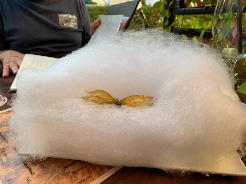
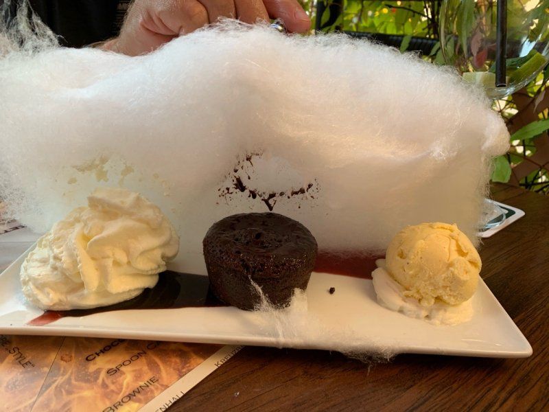
Short stop with cake
83435 Bad Reichenhall, Deutschland
47° 43' 49.2" N 12° 52' 53.7" E
47.7303361 12.8815880
• Head northwest.
• Turn left toward Bahnhofstraße. Go for 30 m.
• Turn sharp left onto Bahnhofstraße. Go for 93 m.
• Continue on Bahnhofplatz. Go for 1.2 km.
• Take ramp onto Salzburger Straße (B20/B21). Go for 1.1 km.
• Take ramp onto B20 toward München/A8/Salzburg/Passau/Burghausen/Freilassing. Go for 2.8 km.
• Take the 2nd exit from roundabout onto B20 toward A8/München/Salzburg/Passau/Burghausen/Freilassing/Piding-Dorf. Go for 121 m.
• Take ramp onto A8 toward Salzburg. Go for 3.0 km.
• Continue on A1 (West Autobahn). Go for 2.1 km.
• Take the exit toward Ljubljana/Villach/Salzburg-Süd onto A10 (Tauern Autobahn). Go for 182 km.
• Continue on A11 (Karawanken Autobahn). Go for 3.5 km.
• Take exit 3 toward St. Niklas/Faaker See. Go for 425 m.
• Turn left onto Großattelstraße (L58) toward Wernberg/Rosegg/St. Niklas. Go for 644 m.
• Take the 2nd exit from roundabout onto Großattelstraße (L52). Go for 6.9 km.
• Turn left. Go for 48 m.
• Arrive at your destination on the right.
☍
204,0 km
(2 hrs. 5 min.)
Rosegg, Österreich
Parking at the game reserve via Park4night.
9232 Rosegg, Österreich
46° 35' 18.9" N 14° 1' 1.9" E
46.5885900 14.0171940
• Head toward Rosegger Straße. Go for 48 m.
• Turn right onto Rosegger Straße (L52). Go for 213 m.
• Turn left onto Rosegger Straße (L52). Go for 26 m.
• Continue on Mühlbacher Straße (L55). Go for 4.5 km.
• Take ramp. Go for 96 m.
• Turn right onto Rosental Bundesstraße (B85). Go for 1.8 km.
• Take ramp onto A11 (Karawanken Autobahn) toward Ljubljana. Go for 11.3 km.
• Continue on Predor Karavanke (A2). Go for 71.0 km.
• Take exit 36 toward Trst/Trieste/Koper/Postojna/Reka/Rijeka onto A1. Go for 94.7 km.
• Continue on H5. Go for 3.7 km.
• Take ramp onto Ljubljanska cesta (11) toward Pulj/Pula/Pola/Poreč/Šmarje. Go for 1.1 km.
• Keep right toward Pulj/Pola/Pula/Dragonja/Dragogna. Go for 17 m.
• Pass 2 roundabouts and continue on Srgaši (11). Go for 13.3 km.
• Continue on Dragonja (11). Go for 514 m.
• Continue on 510. Go for 1.8 km.
• Take the 2nd exit from roundabout onto Istarski Ipsilon (A9) toward Rijeka/Fiume/Pula/Pola/Umag/Umago/Poreč. Go for 77.7 km.
• Continue on 5200 toward Premantura/Medulin. Go for 2.5 km.
• Pass 2 roundabouts and continue on 5200. Go for 2.9 km.
• Take the 2nd exit from roundabout onto 5200 toward Premantura/Pomer. Go for 2.3 km.
• Take the 1st exit from roundabout onto 5119 toward Rt Kamenjak/Premantura/Banjole/Pomer. Go for 530 m.
• Continue on 5200. Go for 71 m.
• Continue on 5119. Go for 222 m.
• Take the 1st exit from roundabout onto Pomer (5119) toward Rt Kamenjak/Premantura/Banjole. Go for 511 m.
• Continue on 5119. Go for 71 m.
• Continue on Banjole Kamik (5119). Go for 217 m.
• Take the 3rd exit from roundabout onto Premanturska cesta (5136) toward Premantura/Banjole. Go for 77 m.
• Take the 1st exit from roundabout onto Kamik (5135). Go for 468 m.
• Continue on Banjole (5135). Go for 312 m.
• Turn left onto Čimulje. Go for 372 m.
• Turn sharp left onto Glavica (5135). Go for 106 m.
• Turn right onto Lucifenka. Go for 102 m.
• Arrive at Lucifenka. Your destination is on the left.
☍
292,7 km
(3 hrs. )
Day
Banjole, Kroatien
44° 49' 24.2" N 13° 51' 57.8" E
44.8233909 13.8660650
• Head toward Glavica on Lucifenka. Go for 102 m.
• Turn right onto Čimulje (5135). Go for 130 m.
• Continue on Banjole (5135). Go for 196 m.
• Turn sharp left onto Banjole. Go for 29 m.
• Turn left onto Čimulje. Go for 372 m.
• Continue on Glavica (5135). Go for 125 m.
• Turn right onto 5135. Go for 788 m.
• Continue on Indije (5135). Go for 146 m.
• Turn right onto Indije. Go for 172 m.
• Continue on Indije. Go for 47 m.
• Arrive at Indije.
☍
2,1 km
( 4 min.)
Arena Indije Campsite
Arrival when it rains, but the sun should shine from Tuesday.
Indije 96, 52203, Banjole, Kroatien
44° 49' 26.2" N 13° 51' 3.3" E
44.8239400 13.8509300
• Head southeast on Indije. Go for 219 m.
• Turn left onto Indije (5135). Go for 146 m.
• Continue on 5135. Go for 788 m.
• Continue on Glavica (5135). Go for 231 m.
• Turn right onto Lucifenka. Go for 102 m.
• Arrive at Lucifenka. Your destination is on the left.
☍
1,5 km
( 3 min.)
Day
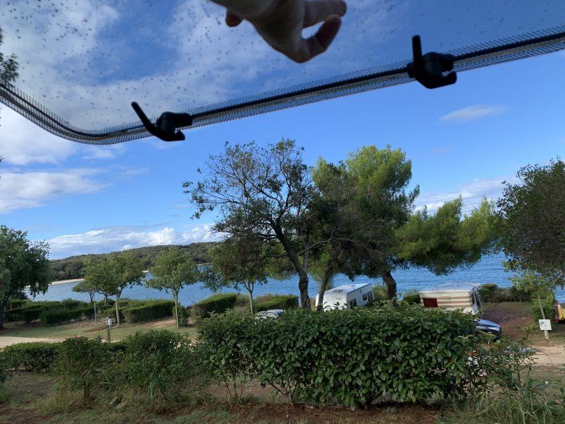
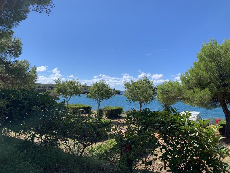
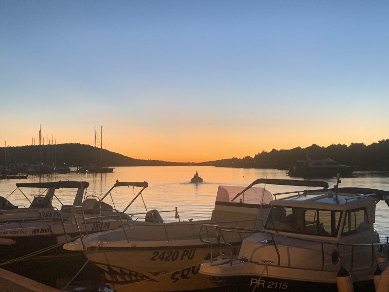
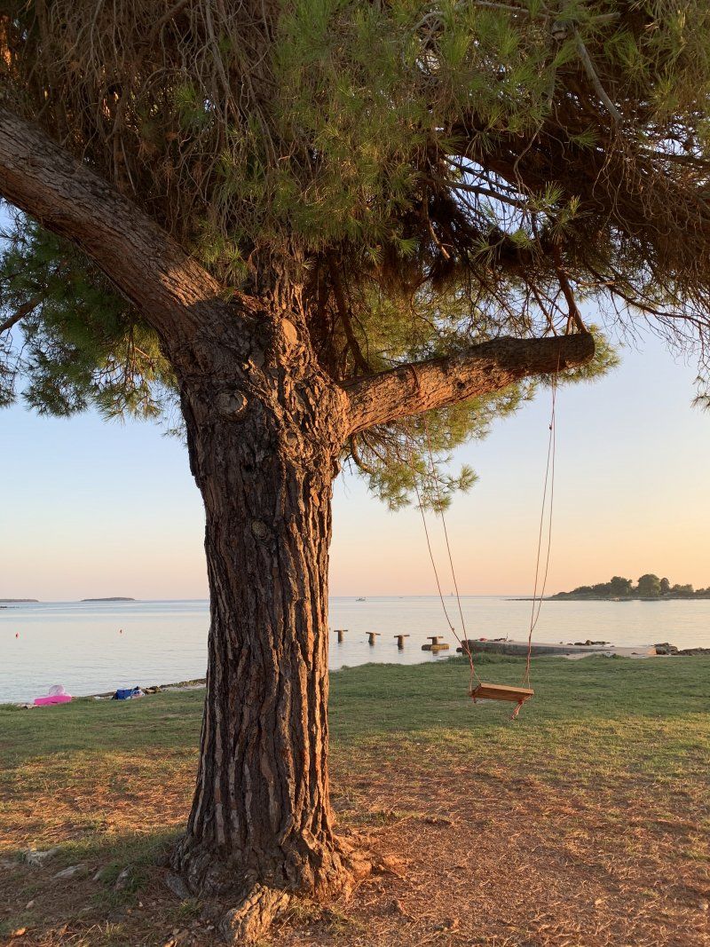
Banjole, Kroatien
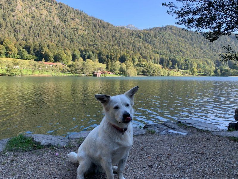
After a stormy and rainy night, we hope for better weather from today.
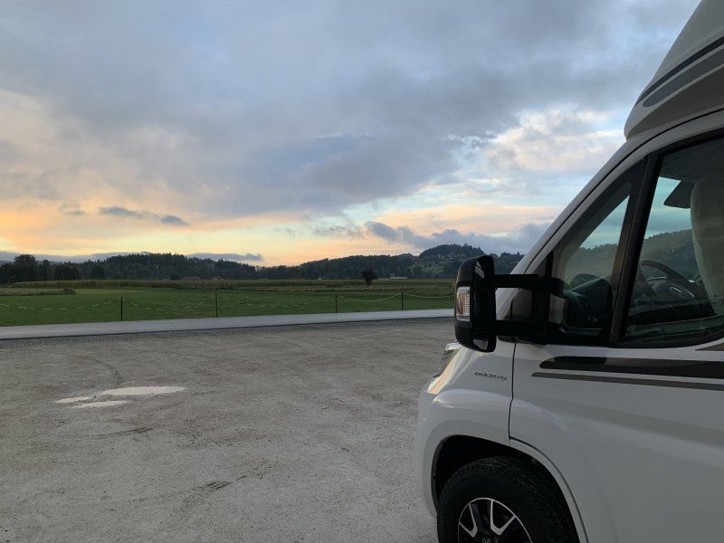
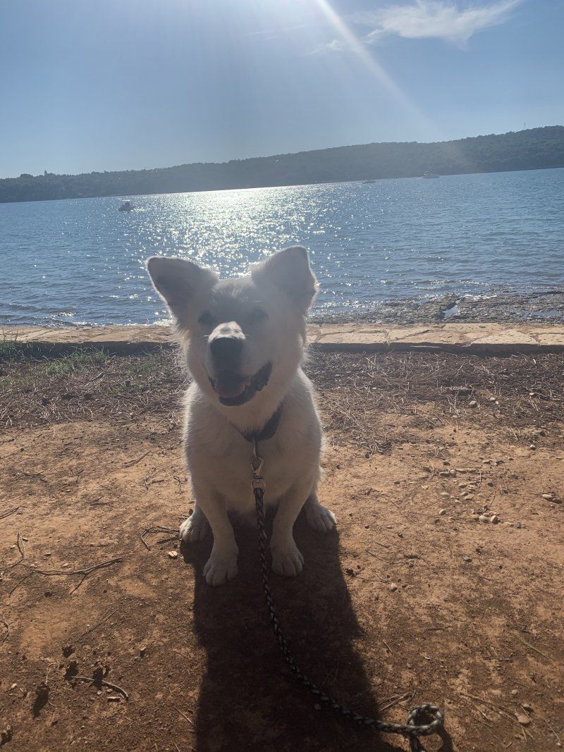
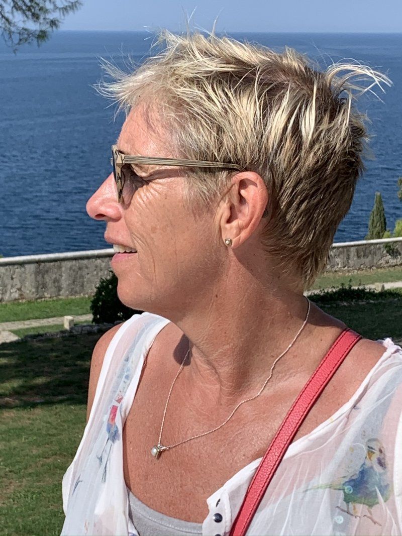
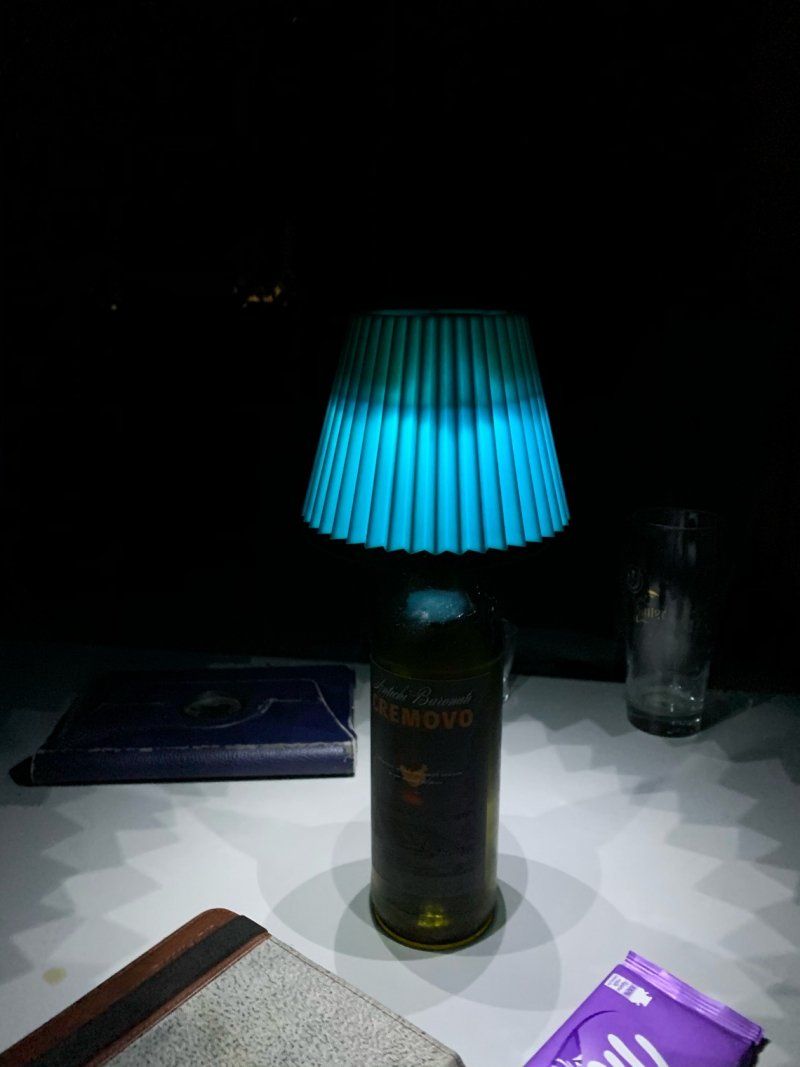
View from our little Carl ?
It's getting slow with the sun
44° 49' 24.2" N 13° 51' 57.8" E
44.8233909 13.8660650
• Head southwest on Lucifenka.
• Arrive at Lucifenka. Your destination is on the left.
☍
Distance not available
(Duration not available)
Day
Banjole, Kroatien
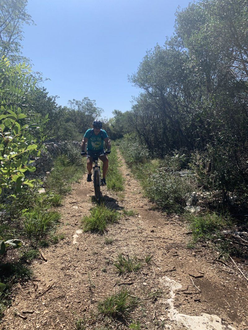
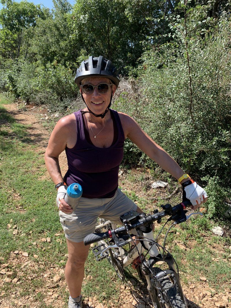
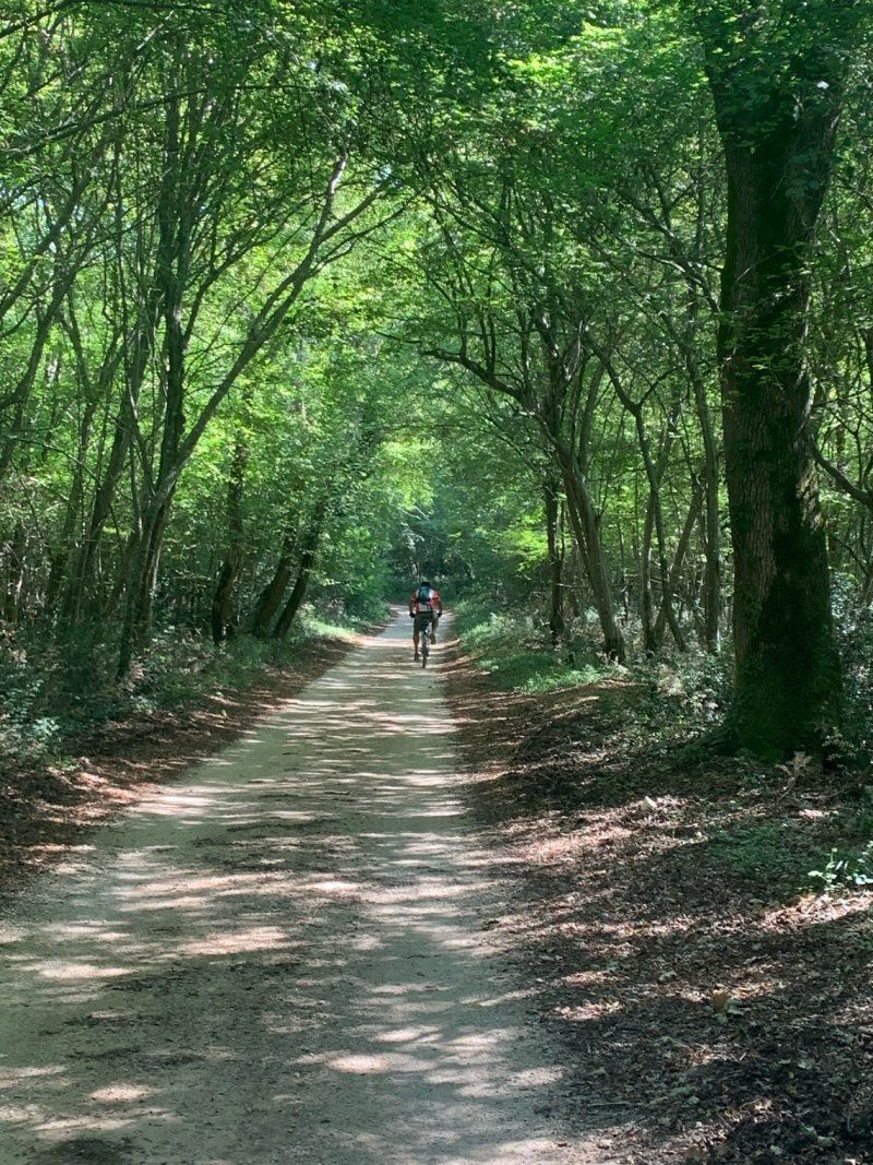
Bike tour with difficult single trails that we hiked?
44° 49' 24.2" N 13° 51' 57.8" E
44.8233909 13.8660650
• Head toward Glavica on Lucifenka. Go for 102 m.
• Turn right onto Čimulje (5135). Go for 130 m.
• Continue on Banjole (5135). Go for 479 m.
• Continue on Kamik (5135). Go for 451 m.
• Take the 2nd exit from roundabout onto Premanturska cesta (5136). Go for 77 m.
• Take the 1st exit from roundabout onto Premanturska cesta (5119) toward Medulin/Pomer. Go for 33 m.
• Continue on Banjole Kamik (5119). Go for 190 m.
• Continue on 5119. Go for 71 m.
• Continue on Pomer (5119). Go for 490 m.
• Take the 2nd exit from roundabout onto 5119 toward Rijeka/Umag/Umago/E751/A9/Zračna luka/Airport/Medulin. Go for 262 m.
• Continue on 5200. Go for 71 m.
• Continue on 5119. Go for 512 m.
• Take the 2nd exit from roundabout onto Pomer (5119) toward Medulin. Go for 1.9 km.
• Continue on Biškupije (5119). Go for 286 m.
• Turn right onto Biškupije (5119) toward Pula/Pola. Go for 325 m.
• Continue on Munida (5119). Go for 1.1 km.
• Take the 2nd exit from roundabout onto Munida (5119) toward Centar/Ližnjan. Go for 240 m.
• Take the 2nd exit from roundabout onto Livadice (5119) toward Ližnjan/Centar. Go for 244 m.
• Keep right onto Centar (5119). Go for 276 m.
• Arrive at Centar (5119). Your destination is on the right.
☍
7,3 km
( 11 min.)
Day
Medulin, Kroatien
44° 49' 18.2" N 13° 56' 12.7" E
44.8217171 13.9368651
• Head southeast on Centar (5119).
• Keep right onto Centar. Go for 122 m.
• Continue on Regi. Go for 15 m.
• Continue on Regi. Go for 41 m.
• Turn right onto Sad. Go for 455 m.
• Turn left onto Osipovica (5179). Go for 138 m.
• Turn right onto Osipovica. Go for 370 m.
• Turn left onto Osipovica. Go for 19 m.
• Arrive at Osipovica. Your destination is on the left.
☍
1,2 km
( 3 min.)
Arena Medulin Campsite
Nice camping with very clean showers and toilets with lots of places with a view of the bay.
Osipovica 30, 52203, Medulin, Kroatien
44° 48' 51.2" N 13° 55' 55.2" E
44.8142200 13.9320000
• Head northeast on Osipovica. Go for 19 m.
• Turn right onto Osipovica. Go for 370 m.
• Turn left onto Osipovica (5179). Go for 138 m.
• Continue on Sad (5179). Go for 268 m.
• Continue on Brajdine (5179). Go for 287 m.
• Continue on Burle (5179). Go for 224 m.
• Continue on Munida (5179). Go for 168 m.
• Take the 1st exit from roundabout onto Livadice (5119) toward Ližnjan/Lisignano/Centar. Go for 228 m.
• Keep right onto Centar (5119). Go for 276 m.
• Arrive at Centar (5119). Your destination is on the right.
☍
2,0 km
( 5 min.)
Day
Medulin, Kroatien
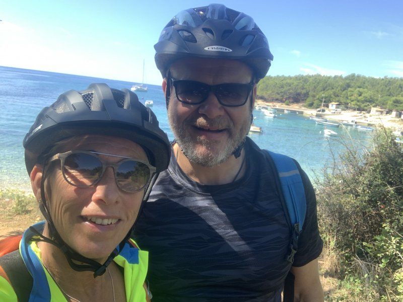
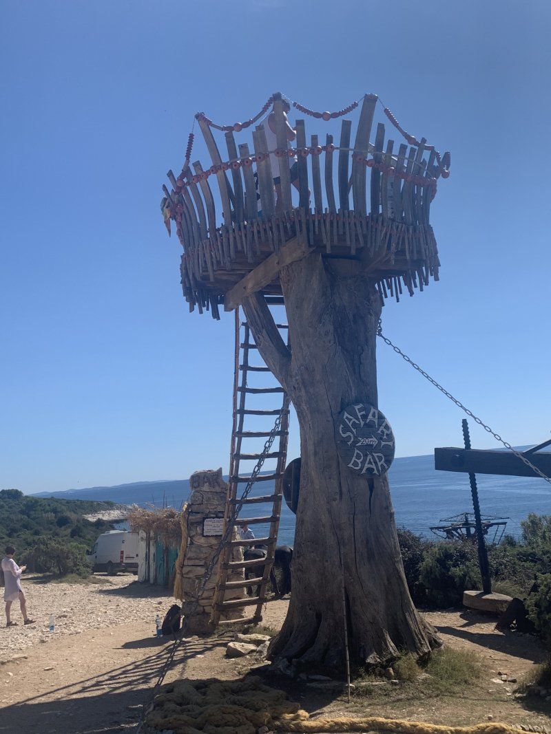
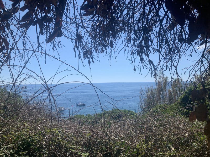
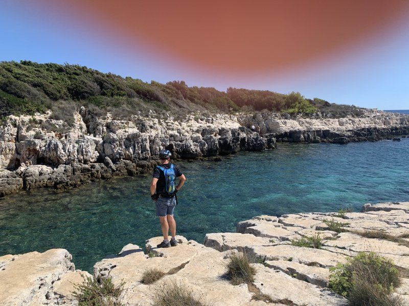
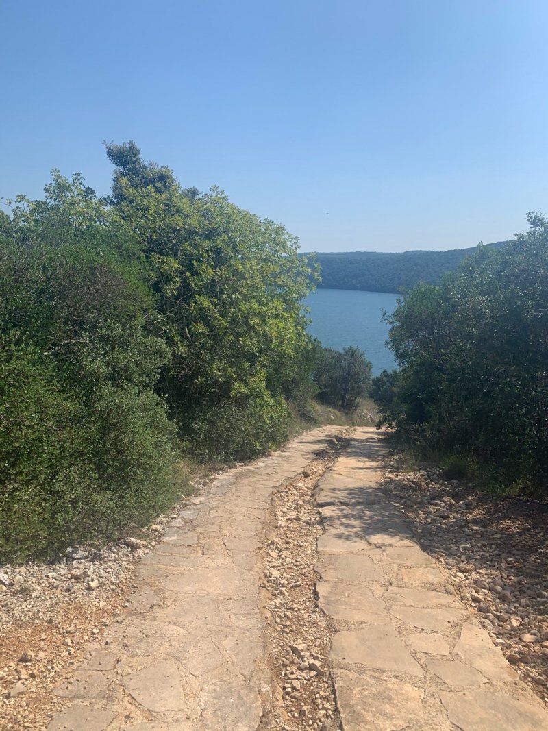
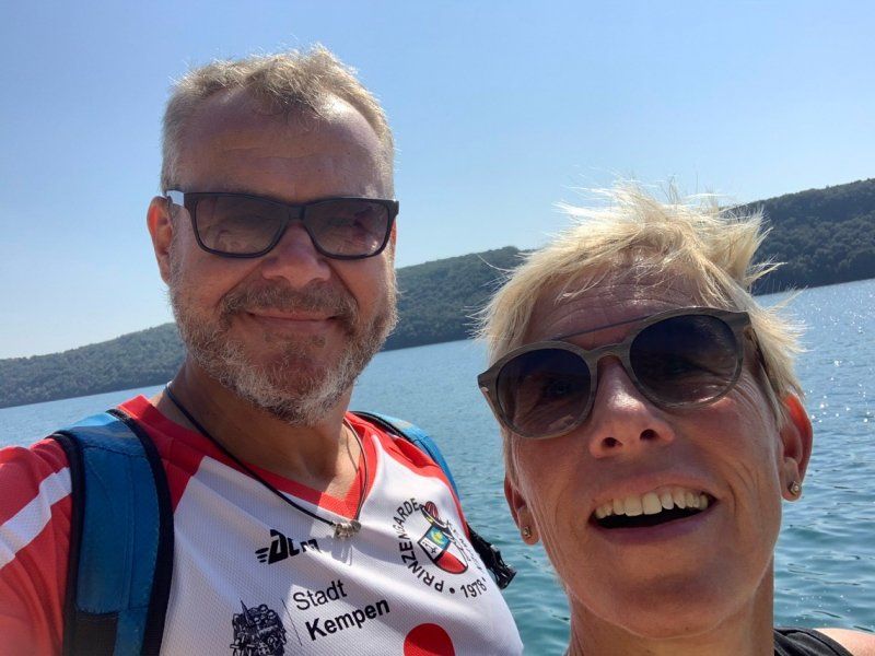
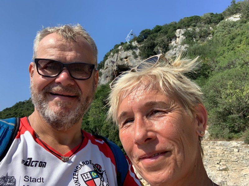
Bike tour to Cape Kamenjak near Premantura. Start in Medulin (route 315) through pomer and premantura and the subsequent nature reserve with the safari bar at a southern point and back again ? (35km and 340 meters in altitude). View of beautiful bays and clear water.
44° 49' 18.2" N 13° 56' 12.7" E
44.8217171 13.9368651
• Head southeast on Centar (5119).
• Arrive at Centar (5119). Your destination is on the right.
☍
Distance not available
(Duration not available)
Day
Medulin, Kroatien
Relaxation day at the campsite with stand up paddling and jogging / walking in the morning
44° 49' 18.2" N 13° 56' 12.7" E
44.8217171 13.9368651
• Head southeast on Centar (5119).
• Arrive at Centar (5119). Your destination is on the right.
☍
Distance not available
(Duration not available)
Day
Medulin, Kroatien
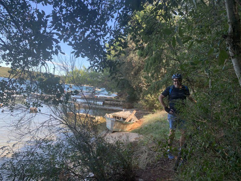
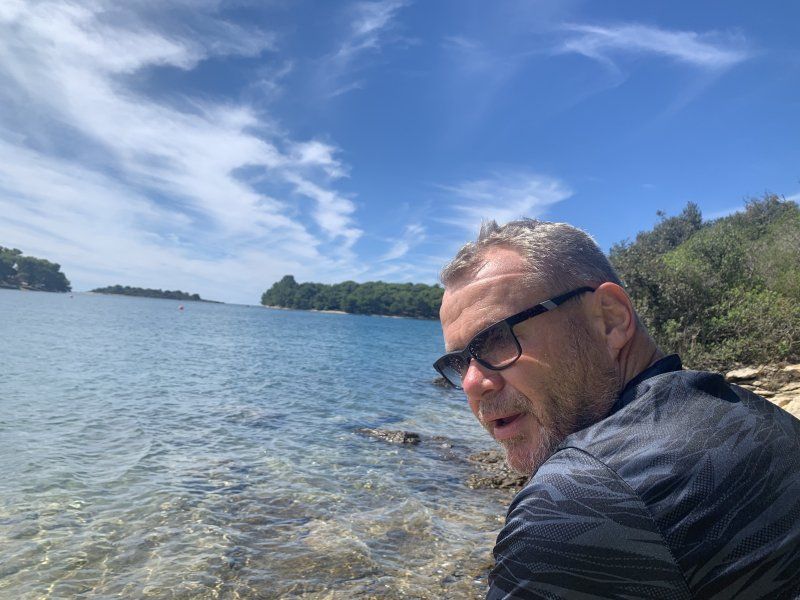
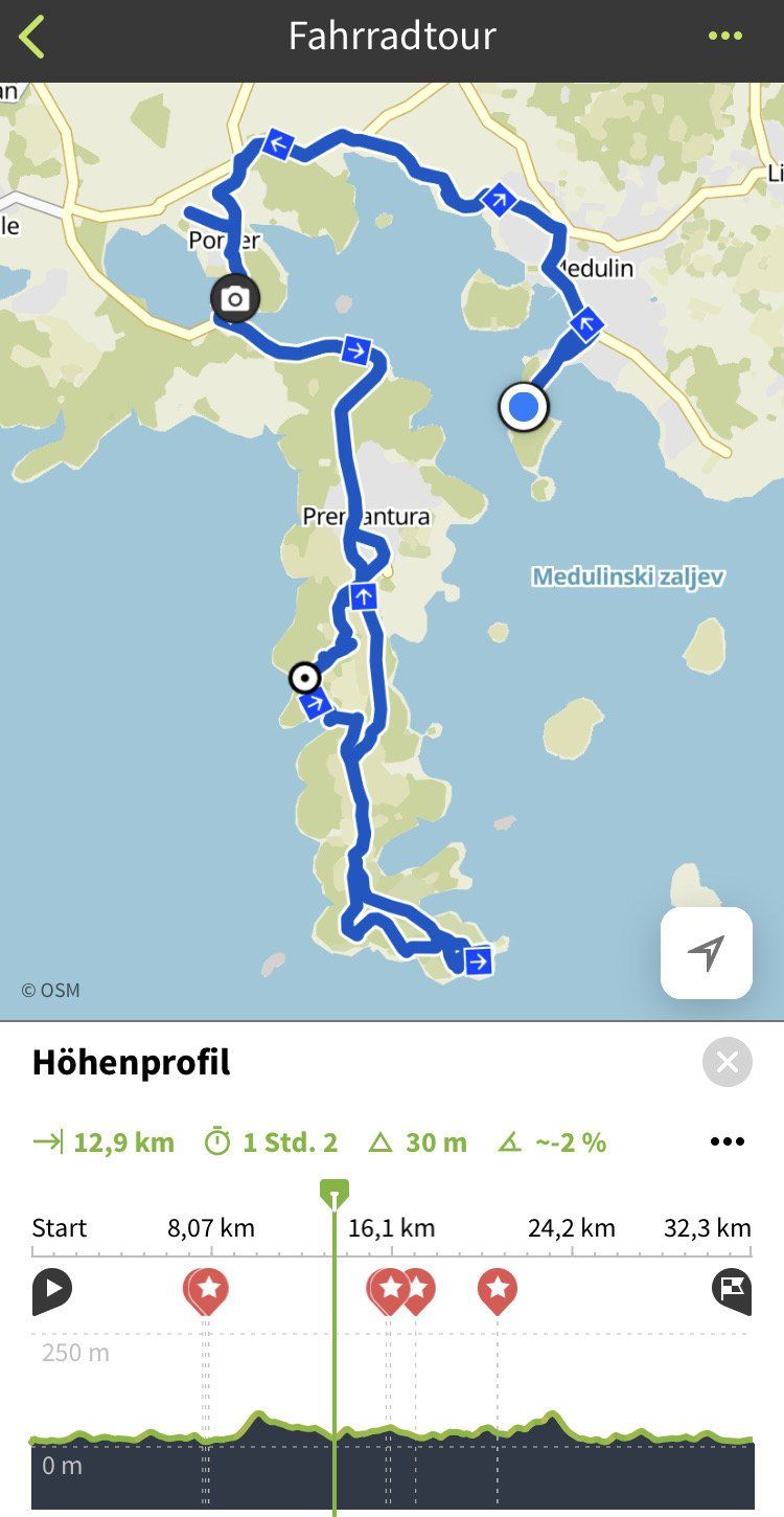
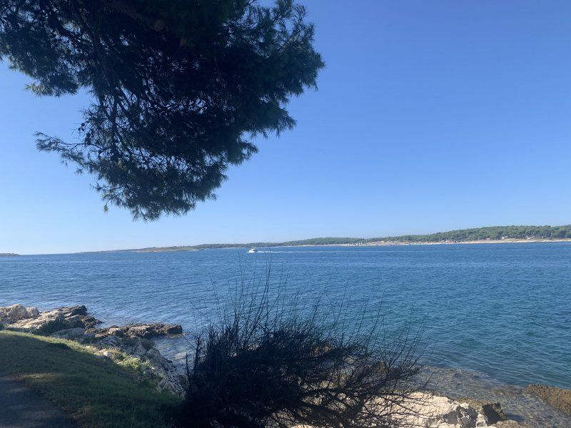
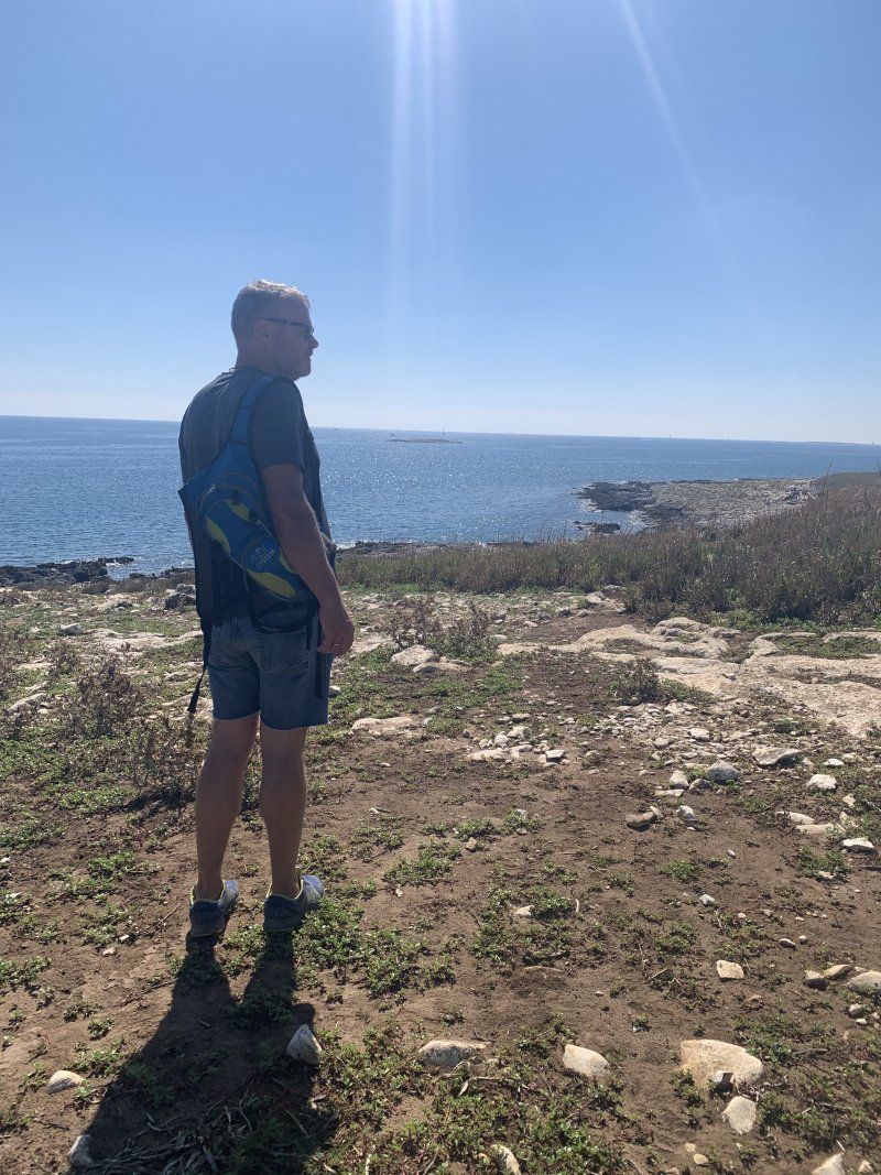
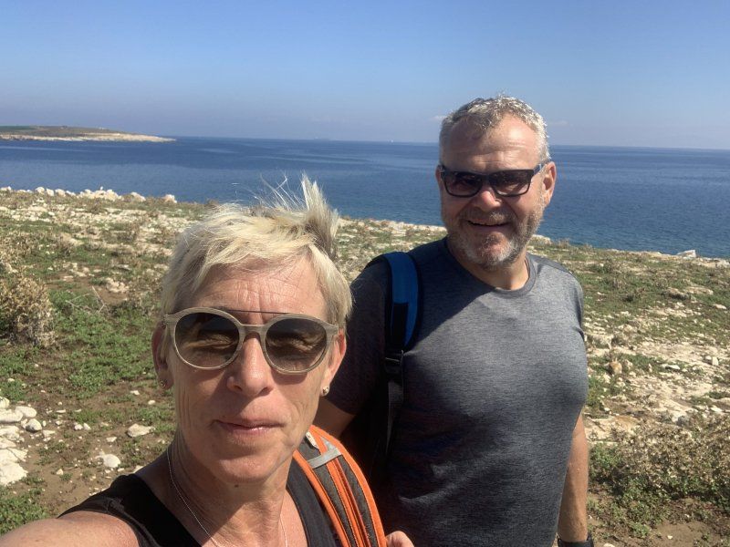
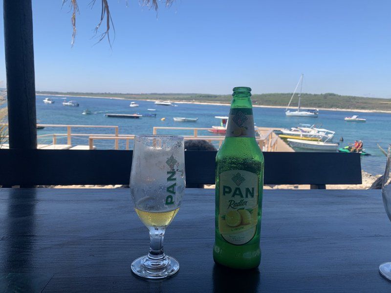
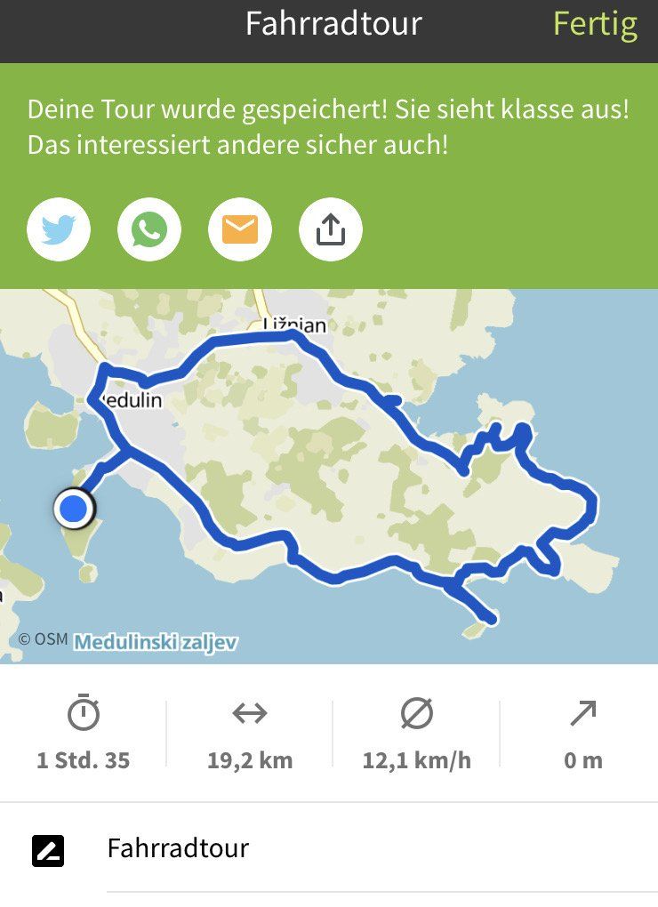
Bike tour east of Medulin through the hinterland and past the coast. A short boat ride to Levin Island. About 19 km. Great views of the sea.
44° 49' 18.2" N 13° 56' 12.7" E
44.8217171 13.9368651
• Head southeast on Centar (5119). Go for 284 m.
• Turn left toward Katikulić. Go for 93 m.
• Continue on Katikulić. Go for 14 m.
• Continue on Centar. Go for 182 m.
• Turn right onto Centar (5119) toward Pula. Go for 144 m.
• Continue on Livadice (5119). Go for 216 m.
• Take the 2nd exit from roundabout onto Munida (5119) toward Pula. Go for 231 m.
• Take the 2nd exit from roundabout onto Munida (5119) toward Pula/Pomer. Go for 1.1 km.
• Continue on Biškupije (5119). Go for 325 m.
• Continue on 5133 toward Pula/Pola. Go for 2.1 km.
• Take the 2nd exit from roundabout onto 5133 toward Pula/Pola. Go for 863 m.
• Take the 2nd exit from roundabout onto 5133. Go for 2.5 km.
• Take the 1st exit from roundabout onto Cesta Prekomorskih brigada (5119). Go for 731 m.
• Pass 2 roundabouts and continue on Cesta Prekomorskih brigada (5119). Go for 1.5 km.
• Take the 3rd exit from roundabout onto Cesta Prekomorskih brigada (66) toward Vodnjan/Dignano/N.P. Brijuni/Fažana/Fasana. Go for 925 m.
• Take the 2nd exit from roundabout onto Cesta Prekomorskih brigada (66). Go for 571 m.
• Take the 1st exit from roundabout onto Vodnjanska cesta (75) toward Rovinj/Rovigno/Vodnjan/Dignano. Go for 638 m.
• Take the 2nd exit from roundabout onto Vodnjanska cesta (75). Go for 282 m.
• Take the 2nd exit from roundabout onto Fažanska cesta (5115) toward Barbariga/Fažana/Peroj. Go for 2.3 km.
• Keep right onto 5115 toward Peroj/Fažana/Valbandon. Go for 517 m.
• Continue on Puljska (5115). Go for 926 m.
• Take the 2nd exit from roundabout onto 5115 toward Fažana. Go for 818 m.
• Take the 1st exit from roundabout onto 5115. Go for 135 m.
• Continue on Puljska cesta (5115). Go for 508 m.
• Continue on Ulica 43. istarske divizije (5115). Go for 197 m.
• Continue on Vodnjanska cesta (5115). Go for 49 m.
• Turn left. Go for 18 m.
• Arrive at your destination on the left.
☍
18,2 km
( 25 min.)
Day
Fažana, Kroatien
Starting point to explore the Brijuni National Park. Guided tour is very touristy. If you only want to have one crossing with your own bikes, it will cost more than the guided tour !!
44° 55' 40.9" N 13° 48' 15.3" E
44.9280390 13.8042445
• Head toward Vodnjanska cesta. Go for 18 m.
• Turn right onto Vodnjanska cesta (5115). Go for 49 m.
• Continue on Ulica 43. istarske divizije (5115). Go for 197 m.
• Continue on Puljska cesta (5115). Go for 508 m.
• Continue on 5115. Go for 95 m.
• Take the 2nd exit from roundabout onto 5115. Go for 270 m.
• Turn right toward Ulica Dragonja. Go for 233 m.
• Take the 1st exit from roundabout onto Ulica Dragonja. Go for 110 m.
• Take the 4th exit from roundabout onto Ulica Dragonja. Go for 207 m.
• Turn right. Go for 42 m.
• Arrive at your destination on the right.
☍
1,7 km
( 3 min.)
Camping Bi Village
Dragonja 115, 52212, Fažana, Kroatien
44° 54' 59" N 13° 48' 40" E
44.9163800 13.8111100
• Head southwest.
• Arrive at your destination on the right.
☍
Distance not available
(Duration not available)
Day
Camping Bi Village
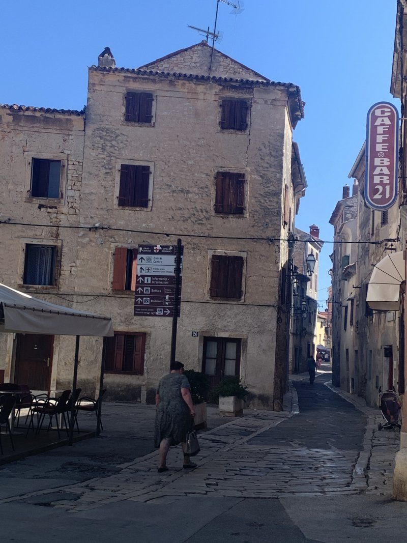
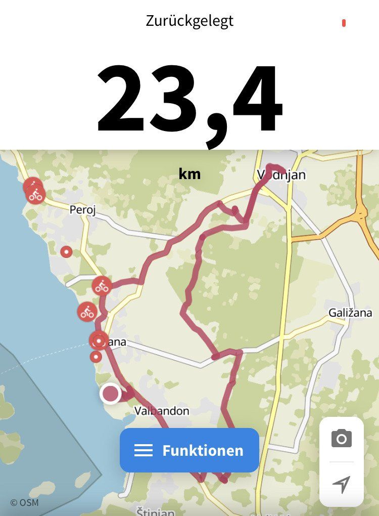
Bike tour into the hinterland (route 301 with deviations) via Vodnjan (24 km) back to the campsite.
Dragonja 115, 52212, Fažana, Kroatien
44° 54' 59" N 13° 48' 40" E
44.9163800 13.8111100
• Head toward Ulica Dragonja. Go for 111 m.
• Turn right onto Ulica Dragonja. Go for 103 m.
• Take the 2nd exit from roundabout onto Ulica Dragonja. Go for 123 m.
• Take the 1st exit from roundabout. Go for 383 m.
• Take the 3rd exit from roundabout onto 5115. Go for 837 m.
• Take the 1st exit from roundabout onto 5115. Go for 135 m.
• Continue on Puljska cesta (5115). Go for 508 m.
• Continue on Ulica 43. istarske divizije (5115). Go for 197 m.
• Continue on Vodnjanska cesta (5115). Go for 519 m.
• Continue on Vodnjanska cesta (5192) toward Trst/A9/Trieste/Rijeka/Fiume/Vodnjan/Dignano. Go for 86 m.
• Take the 1st exit from roundabout onto Vodnjanska cesta (5192). Go for 1.4 km.
• Continue on 5192. Go for 866 m.
• Continue on Fažanska cesta (5192). Go for 2.3 km.
• Turn left onto 75. Go for 684 m.
• Continue on Ulica Giovannia A. Della Zonca (75). Go for 119 m.
• Continue on 75. Go for 667 m.
• Take the 3rd exit from roundabout onto 75 toward Rijeka/Rovinj/A8. Go for 795 m.
• Turn slightly left onto 75 toward Rovinj/Rovigno/Bale/Valle. Go for 8.2 km.
• Turn left onto 5096 toward Rovinj/Rovigno/Bale/Valle. Go for 1.0 km.
• Take the 2nd exit from roundabout onto 5096. Go for 5.3 km.
• Continue on Španidiga (5096). Go for 800 m.
• Continue on 5096. Go for 1.2 km.
• Continue on Naselje Cocaletto (5096). Go for 303 m.
• Continue on Kokuletovica (5096) toward Rovinj/Rovigno. Go for 425 m.
• Continue on 5096. Go for 1.2 km.
• Continue on Rato Di Ren (5096). Go for 834 m.
• Continue on 5096. Go for 679 m.
• Continue on Naselje Monfiorenzo (5096). Go for 246 m.
• Take the 2nd exit from roundabout onto 5096 toward Rijeka/Fiume/Pula/Pola/Centar/Centro. Go for 638 m.
• Continue on Ulica braće Božić (5096). Go for 242 m.
• Take the 2nd exit from roundabout onto Istarska ulica (5096) toward Centar/Centro. Go for 303 m.
• Pass 2 roundabouts and continue on Istarska ulica (5096). Go for 701 m.
• Turn slightly left onto Ulica Giosue Carduccija. Go for 169 m.
• Arrive at Ulica Giosue Carduccija. Your destination is on the right.
☍
32,1 km
( 35 min.)
Day
Rovinj, Kroatien
45° 4' 52.2" N 13° 38' 19.3" E
45.0811661 13.6387067
• Head toward Ulica Carera on Ulica Giosue Carduccija. Go for 23 m.
• Continue on Trg na lokvi. Go for 11 m.
• Turn slightly left onto Trg na lokvi. Go for 110 m.
• Continue on Trg Tabakina. Go for 94 m.
• Continue on Obala Vladimira Nazora. Go for 143 m.
• Turn left onto Omladinska ulica. Go for 316 m.
• Turn right onto Ulica Stjepana Radića. Go for 932 m.
• Take the 1st exit from roundabout onto Aleja 30. svibnja (5105) toward Polari. Go for 347 m.
• Continue on 5105. Go for 993 m.
• Turn right onto Polari. Go for 185 m.
• Continue on Polari. Go for 794 m.
• Turn right onto Polari. Go for 365 m.
• Turn right onto Polari. Go for 291 m.
• Turn slightly left onto Polari. Go for 31 m.
• Turn right. Go for 75 m.
• Arrive at your destination on the left.
☍
4,7 km
( 10 min.)
Gebetsroither Unterkünfte am FKK & Textil Camping Polari, Rovinj, Kroatien
The spacious Polari campsite is right next to Rovinj. There is a swimming pool on the premises. Small area is reserved for nudists. Unfortunately, you are not allowed to go to the campsite with your camper to choose a parking space. You get the map with a 4-page reservation list for the parking spaces and then you have to search. Unfortunately the list does not match and the chosen pitch is reserved and you walked around the campsite for free!
Polari bb, 52210, Rovinj, Kroatien
45° 3' 21.7" N 13° 40' 25.5" E
45.0560291 13.6737512
• Head toward Polari. Go for 42 m.
• Turn right onto Polari. Go for 20 m.
• Turn right toward Polari. Go for 98 m.
• Turn right onto Polari. Go for 325 m.
• Continue on Polari. Go for 47 m.
• Turn left onto Polari. Go for 365 m.
• Turn left onto Polari. Go for 979 m.
• Turn left onto 5105. Go for 993 m.
• Continue on Aleja 30. svibnja (5105). Go for 326 m.
• Take the 1st exit from roundabout onto Aleja 30. svibnja (5105) toward Rijeka/Pula/303/Pola/5096. Go for 675 m.
• Take the 3rd exit from roundabout onto Istarska ulica (5096) toward Centar/Centro. Go for 322 m.
• Pass 2 roundabouts and continue on Istarska ulica (5096). Go for 701 m.
• Turn slightly left onto Ulica Giosue Carduccija. Go for 169 m.
• Arrive at Ulica Giosue Carduccija. Your destination is on the right.
☍
5,1 km
( 10 min.)
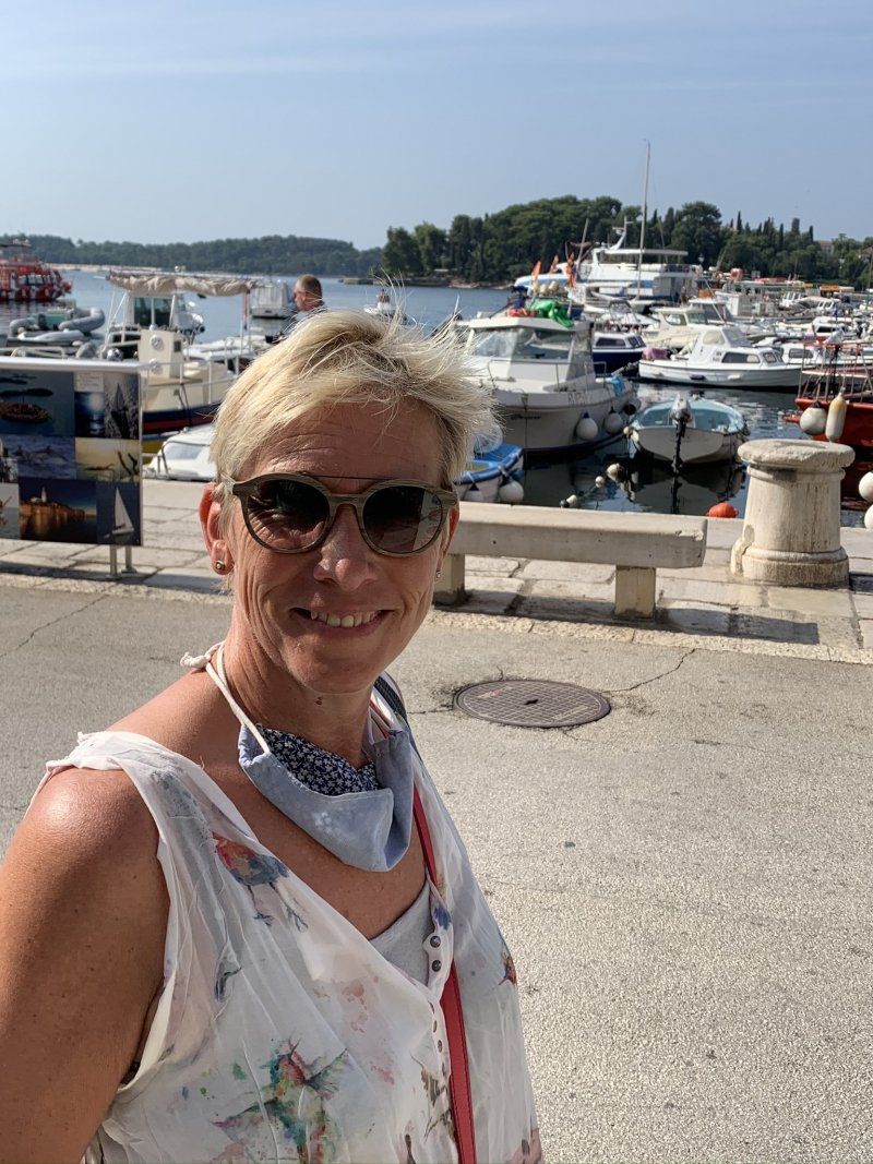
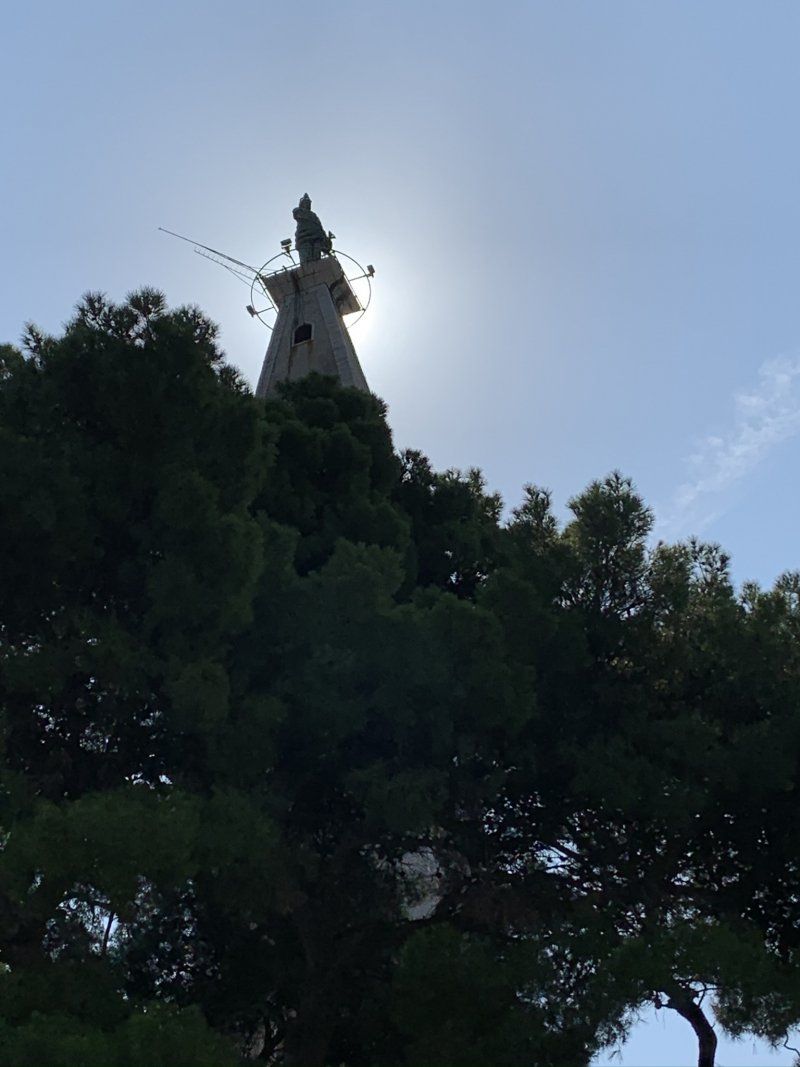
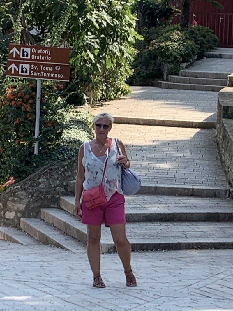
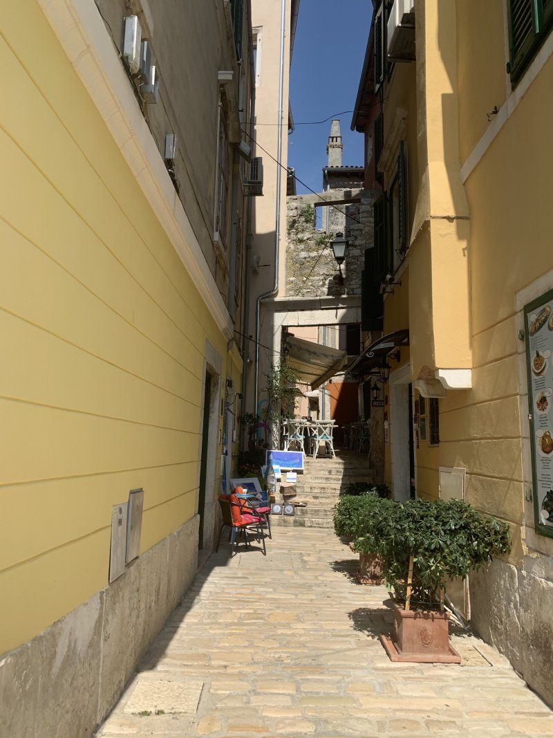
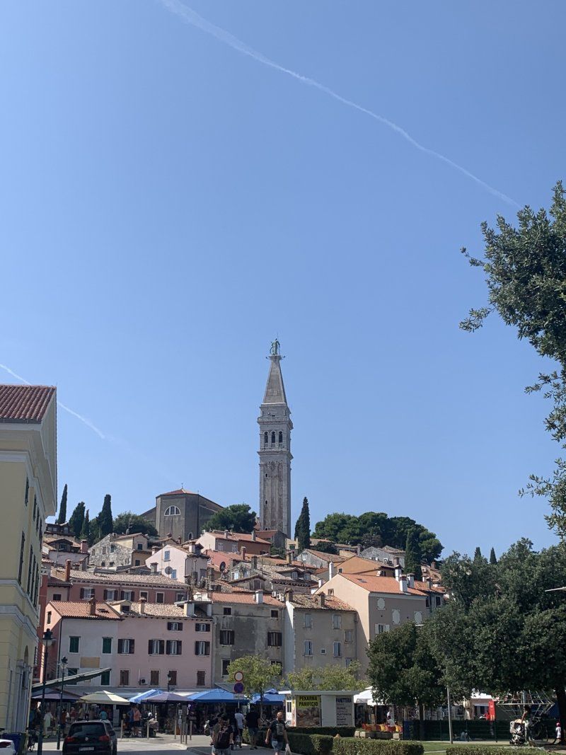
Day
Rovinj, Kroatien
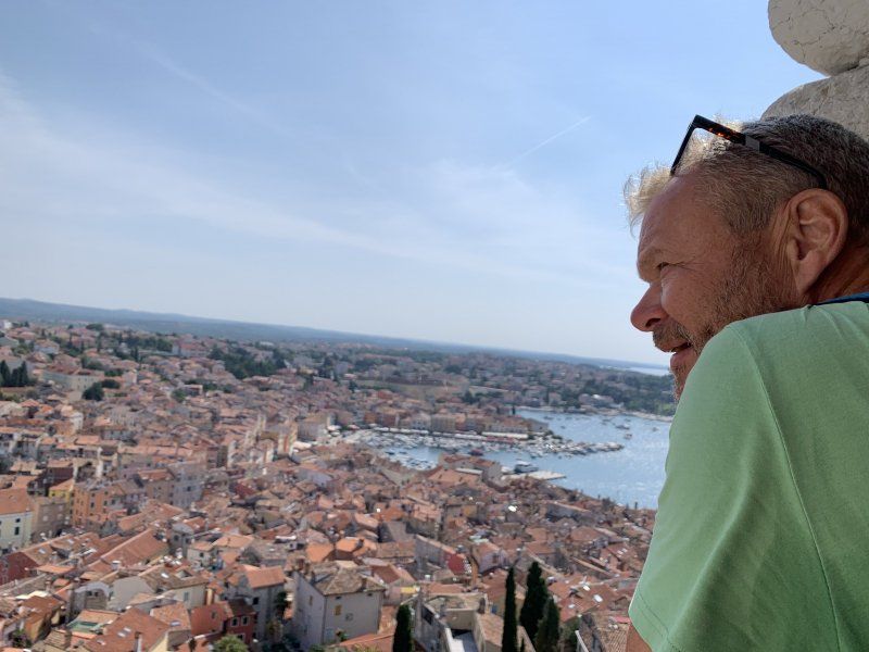
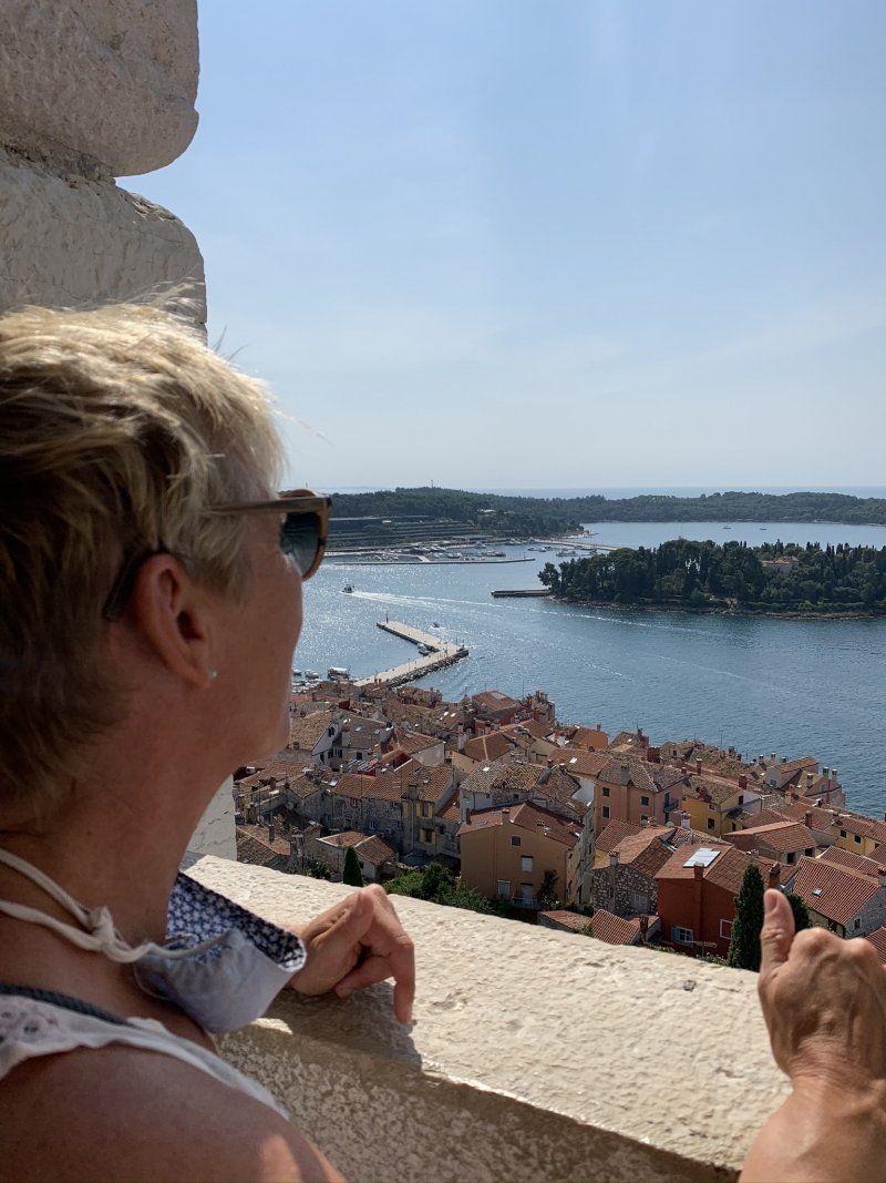
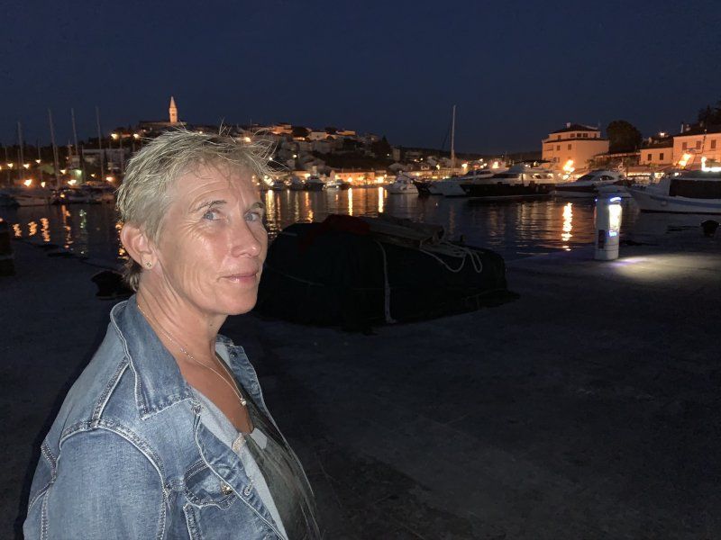
Bike tour to Rovinj (5km) and stroll through the very beautiful old town and the harbor.
45° 4' 52.2" N 13° 38' 19.3" E
45.0811661 13.6387067
• Head toward Ulica Carera on Ulica Giosue Carduccija. Go for 23 m.
• Continue on Trg na lokvi. Go for 11 m.
• Turn slightly left onto Trg na lokvi. Go for 6 m.
• Turn left onto Trg na lokvi. Go for 26 m.
• Continue on Ulica Mattea Benussia. Go for 222 m.
• Turn left onto Vijenac braće Lorenzetto. Go for 353 m.
• Turn right onto Vijenac Franje Glavinića. Go for 749 m.
• Take the 1st exit from roundabout onto Aleja Ruđera Boškovića (303) toward Trst/Trieste/Rijeka/Fiume/Pula/Pola. Go for 680 m.
• Pass 2 roundabouts and continue on Aleja Ruđera Boškovića (303). Go for 1.7 km.
• Continue on 303 toward Rijeka/A8/Pula/A9/Pola. Go for 5.9 km.
• Continue on Putini (303). Go for 607 m.
• Continue on 303. Go for 1.4 km.
• Turn left and take ramp toward Vrsar. Go for 258 m.
• Turn left onto 75 toward Vrsar/Orsera. Go for 5.3 km.
• Turn left onto 75 toward Funtana/Fontane/Vrsar/Orsera. Go for 1.7 km.
• Continue on Kloštar (75). Go for 348 m.
• Continue on 75. Go for 1.8 km.
• Continue on Gradina (75). Go for 521 m.
• Continue on 75. Go for 1.4 km.
• Continue on Flengi (75). Go for 644 m.
• Continue on 75. Go for 4.5 km.
• Continue on Ulica svetog Martina (75) toward Centar. Go for 256 m.
• Turn left onto Alda Negria toward Centar. Go for 257 m.
• Keep right onto Aldo Negri. Go for 291 m.
• Continue on Rade Končara. Go for 58 m.
• Keep right onto Rade Končara. Go for 202 m.
• Arrive at Rade Končara. Your destination is on the left.
☍
29,2 km
( 33 min.)
Day
Vrsar, Kroatien
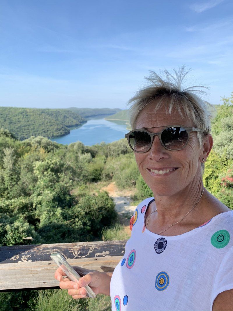
On the way to the campsite, we stopped at the easternmost point of the fjord and at various viewpoints. ?
45° 8' 59.8" N 13° 36' 18.9" E
45.1499462 13.6052578
• Head northwest on Rade Končara. Go for 204 m.
• Turn left onto Rade Končara. Go for 137 m.
• Continue on Obala maršala Tita. Go for 40 m.
• Take the 2nd exit from roundabout onto Obala maršala Tita. Go for 492 m.
• Continue on Vala. Go for 236 m.
• Turn right onto 5071. Go for 585 m.
• Continue on Koversada (5071). Go for 75 m.
• Continue on 5071. Go for 303 m.
• Turn right. Go for 124 m.
• Turn right. Go for 118 m.
• Turn left. Go for 65 m.
• Arrive at your destination on the left.
☍
2,4 km
( 5 min.)
Camping Porto Sole
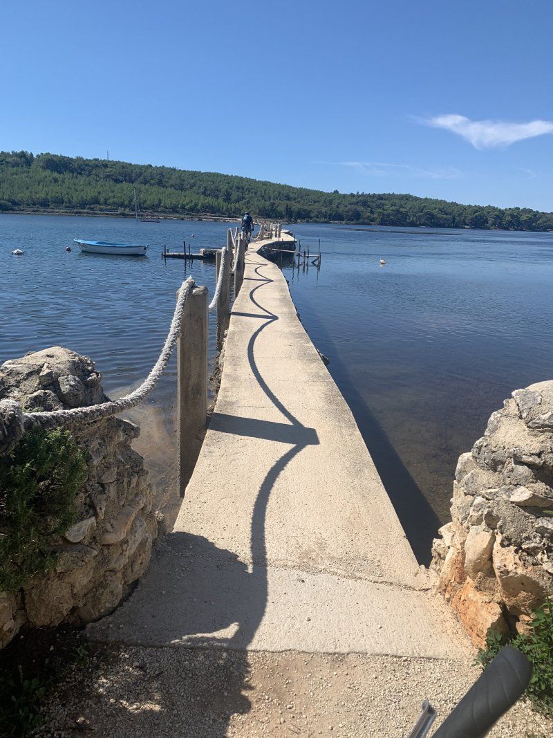
Nice campsite with a nice pool and € 18 at Acsi.
Alternatively, FKK Camping Koversada (approx. € 26 + tourist tax) next door. Island with bridge is part of Camping?
Petalon 1, 52450, Vrsar, Kroatien
45° 8' 27.2" N 13° 36' 11.7" E
45.1408800 13.6032600
• Head west. Go for 61 m.
• Turn right. Go for 363 m.
• Turn left. Go for 29 m.
• Turn left toward 5071. Go for 257 m.
• Continue on 5071. Go for 46 m.
• Continue on Koversada (5071). Go for 75 m.
• Continue on 5071. Go for 994 m.
• Turn left. Go for 174 m.
• Turn right toward Aldo Negri. Go for 76 m.
• Turn left onto Aldo Negri. Go for 291 m.
• Continue on Rade Končara. Go for 58 m.
• Keep right onto Rade Končara. Go for 202 m.
• Arrive at Rade Končara. Your destination is on the left.
☍
2,6 km
( 6 min.)
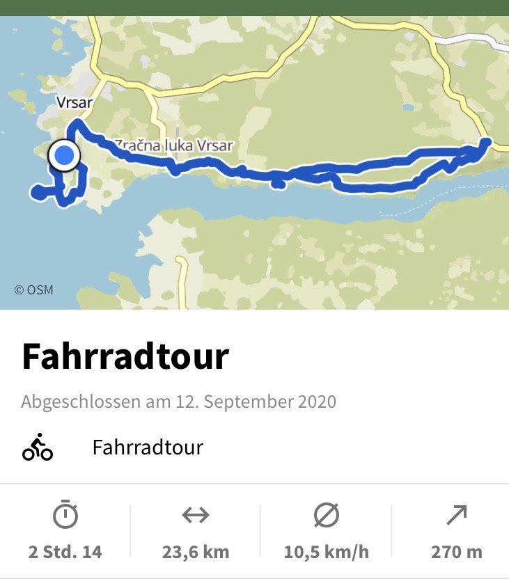
Day
Vrsar, Kroatien
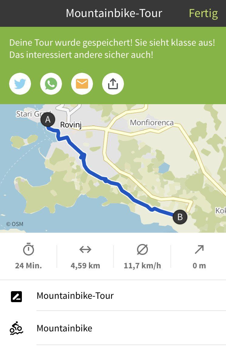
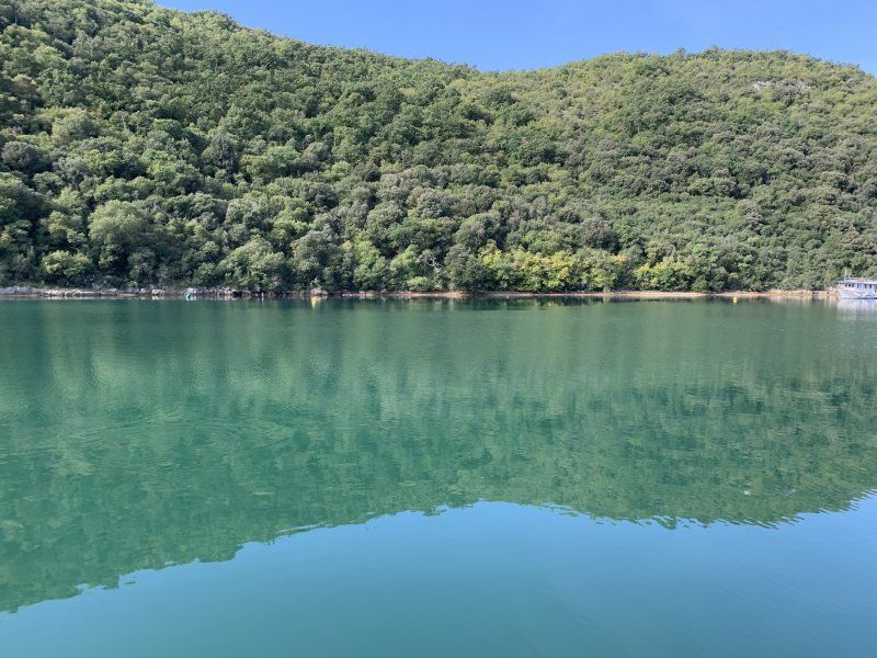
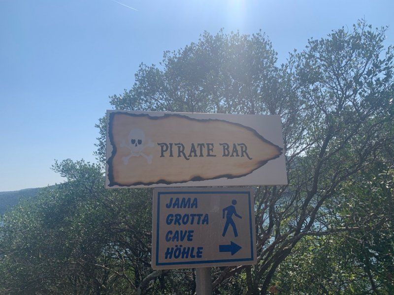
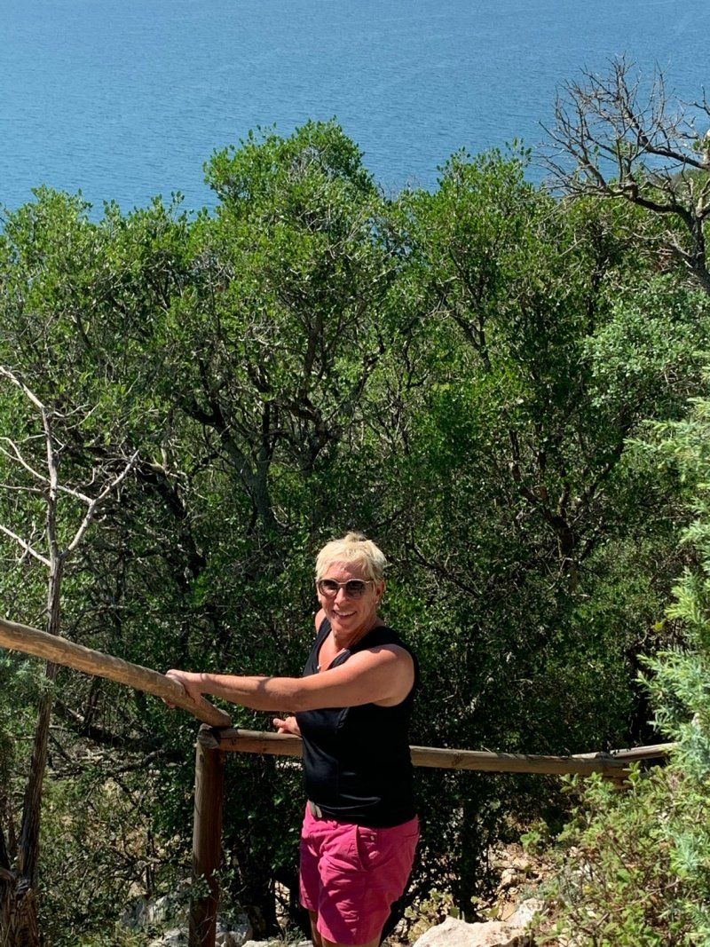
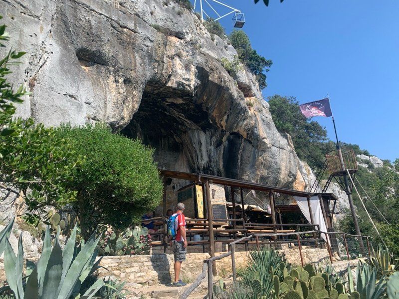
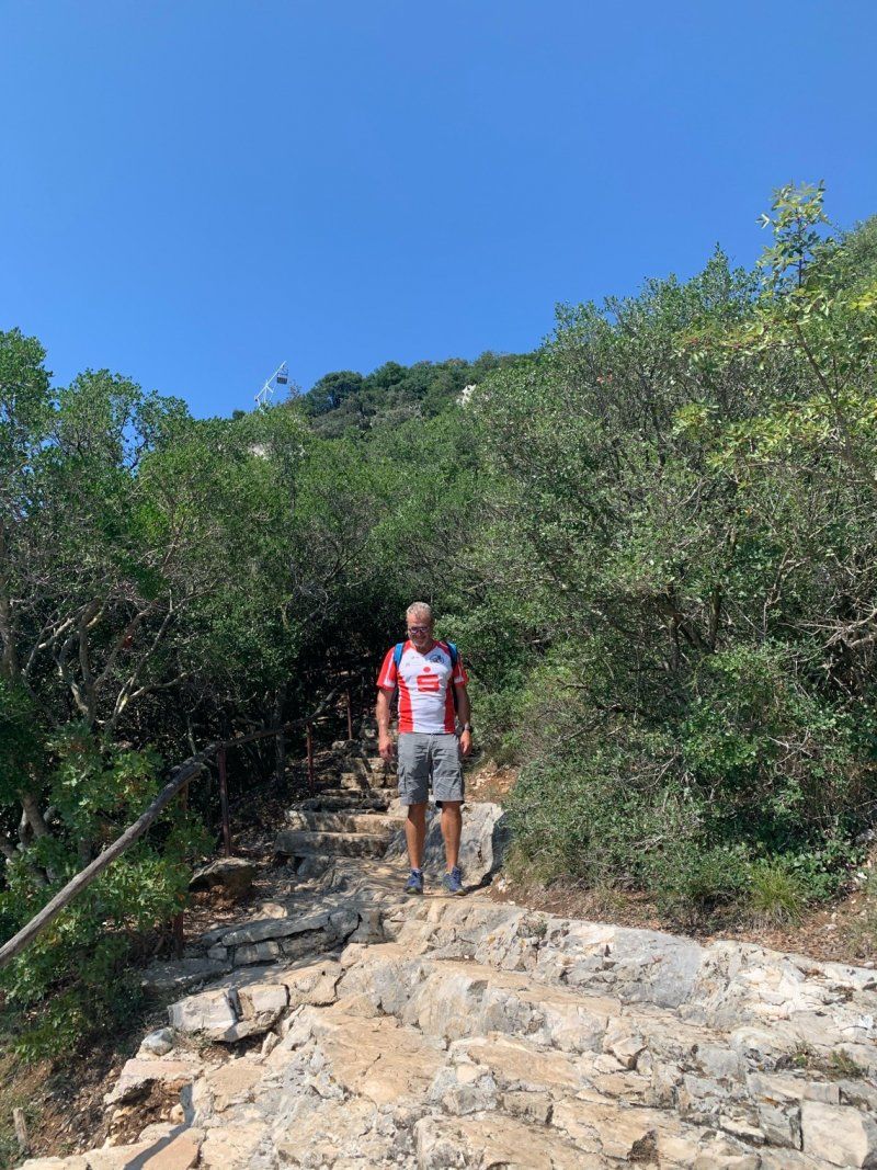
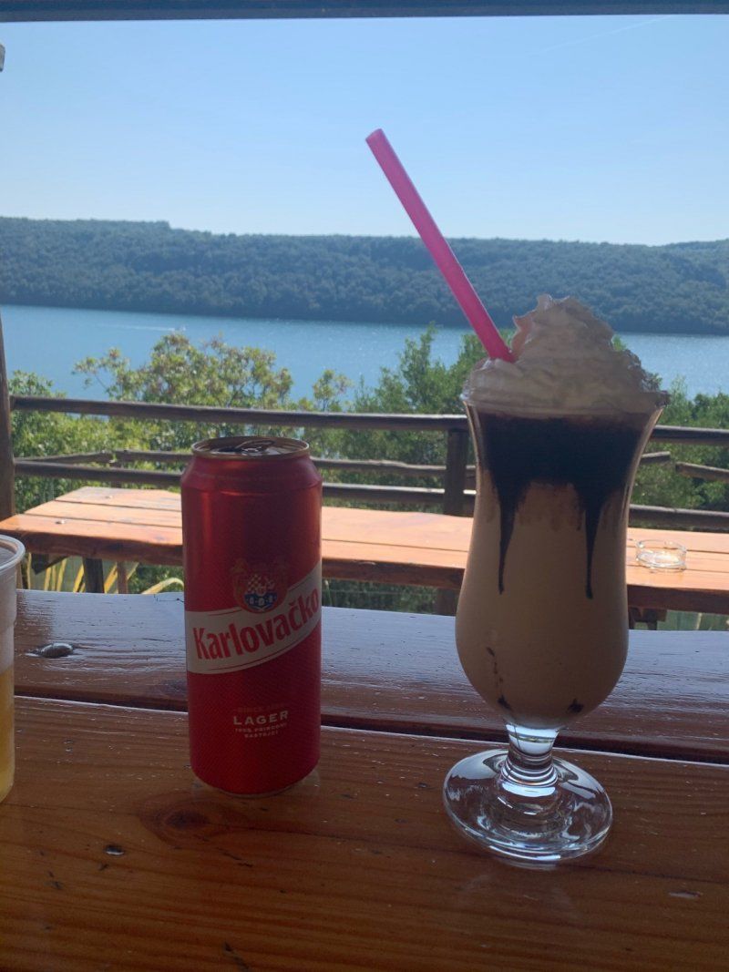
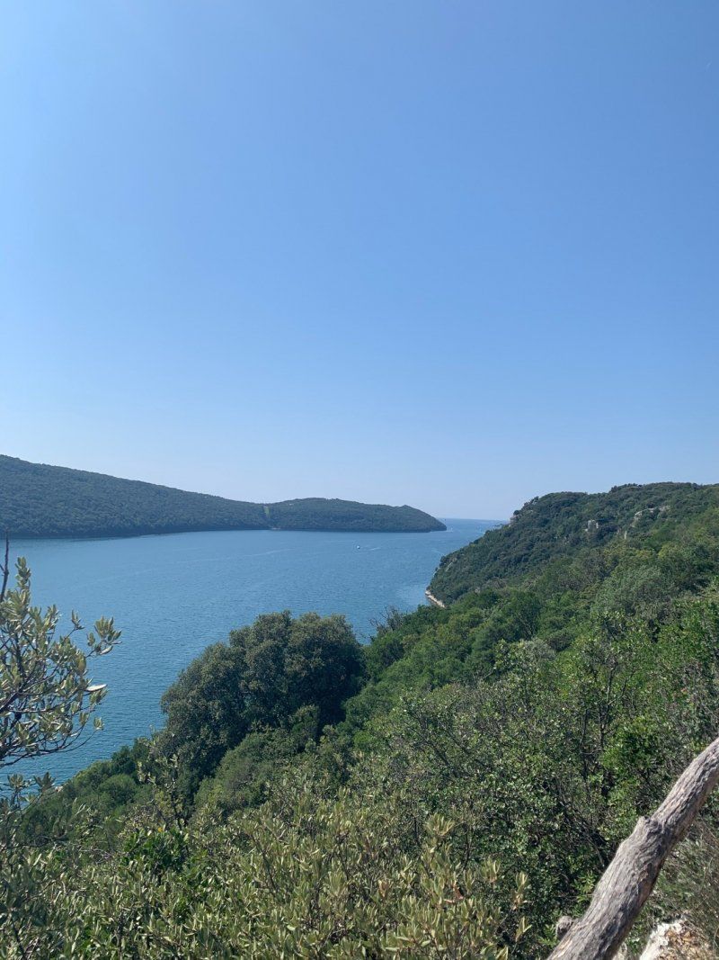
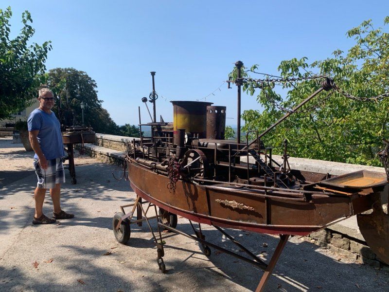
Bike tour from the campsite to explore the Limski Fjord. Here the treasure was filmed in the Silbersee.
Very cool tour with a stop at the piratenbar.
45° 8' 59.8" N 13° 36' 18.9" E
45.1499462 13.6052578
• Head northwest on Rade Končara.
• Arrive at Rade Končara. Your destination is on the left.
☍
Distance not available
(Duration not available)
Day
Vrsar, Kroatien
Relaxation day at the pool with sports ?
45° 8' 59.8" N 13° 36' 18.9" E
45.1499462 13.6052578
• Head northwest on Rade Končara. Go for 204 m.
• Turn left onto Rade Končara. Go for 137 m.
• Continue on Obala maršala Tita. Go for 40 m.
• Take the 2nd exit from roundabout onto Obala maršala Tita. Go for 474 m.
• Turn left toward Dalmatinska. Go for 36 m.
• Continue on Dalmatinska. Go for 181 m.
• Turn slightly right onto Dalmatinska. Go for 349 m.
• Continue on Alda Negria. Go for 257 m.
• Turn left onto Ulica svetog Martina (75). Go for 268 m.
• Continue on 75. Go for 1.4 km.
• Continue on Istarska (75). Go for 1.1 km.
• Take the 2nd exit from roundabout onto Istarska (75). Go for 301 m.
• Continue on 75. Go for 2.5 km.
• Pass 4 roundabouts and continue on 75. Go for 6.6 km.
• Turn right onto Primorska ulica (5042) toward Rijeka/Fiume/Pula/Pola/Višnjan/Visignano/Servisna zona Kukci. Go for 1.1 km.
• Take the 2nd exit from roundabout onto 5041 toward Vižinada/Kaštelir. Go for 635 m.
• Continue on Stranići kod Nove Vasi (5041). Go for 862 m.
• Continue on 5041. Go for 485 m.
• Continue on Gedići (5041). Go for 694 m.
• Continue on 5041. Go for 2.0 km.
• Continue on Dvori (5041). Go for 490 m.
• Continue on 5041. Go for 573 m.
• Continue on Labinci (5041). Go for 417 m.
• Take the 2nd exit from roundabout toward Vižinada. Go for 49 m.
• Turn right onto Labinci (5041) toward Vižinada. Go for 238 m.
• Continue on Kaštelir (5041). Go for 928 m.
• Continue on 5041. Go for 2.6 km.
• Continue on Vrh Lašići (5041). Go for 562 m.
• Continue on 5041. Go for 1.7 km.
• Continue on Vižinada (5041). Go for 884 m.
• Pass 2 roundabouts and continue on 5209. Go for 9.7 km.
• Turn right onto Raskršće toward Grožnjan/Šaltarija. Go for 362 m.
• Continue on Šaltarija. Go for 1.1 km.
• Continue on Peroj. Go for 481 m.
• Turn left onto Vrh Roman. Go for 333 m.
• Continue on Stanica. Go for 28 m.
• Continue on Stanica (5008). Go for 212 m.
• Keep right onto 5008. Go for 279 m.
• Continue on Bujska cesta (5008). Go for 278 m.
• Turn left onto Motovunska ulica (5008). Go for 7 m.
• Arrive at Motovunska ulica (5008). Your destination is on the right.
☍
40,9 km
( 49 min.)
Day
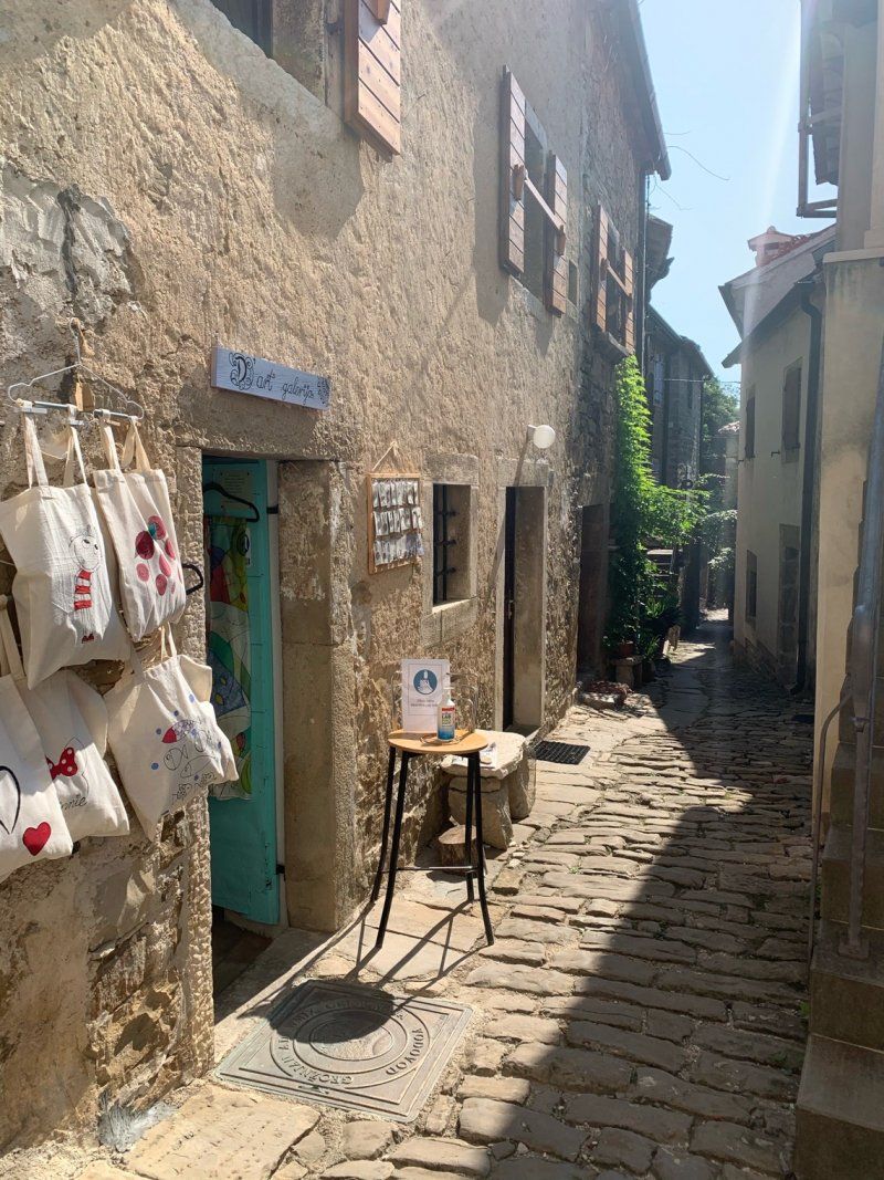
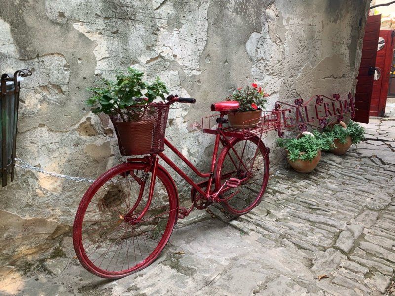
Grožnjan, Kroatien
Medieval beautiful town with many small shops and artists.
Motorhome parking space next to the cemetery
Return journey via Groznjan to Bad Reichenhall
52429, Grožnjan, Kroatien
45° 22' 46.6" N 13° 43' 21.4" E
45.3796024 13.7226113
• Head east on Motovunska ulica (5008). Go for 27 m.
• Turn left onto Vinska cesta. Go for 217 m.
• Turn slightly left toward Stanica/5008. Go for 350 m.
• Continue on Stanica (5008). Go for 281 m.
• Continue on 5008. Go for 1.2 km.
• Turn left onto 5008 toward Koper/Buje. Go for 649 m.
• Continue on Ražmani (5008). Go for 269 m.
• Continue on 5008. Go for 1.1 km.
• Continue on Triban (5008). Go for 1.0 km.
• Continue on 5008. Go for 1.5 km.
• Continue on Grožnjanska (5008). Go for 739 m.
• Take the 1st exit from roundabout onto 200 toward Trieste/Koper. Go for 299 m.
• Take the 1st exit from roundabout onto Koparska ulica (5209). Go for 403 m.
• Continue on 5209. Go for 138 m.
• Continue on Koparska ulica (5209). Go for 347 m.
• Continue on 5209. Go for 2.1 km.
• Continue on Kaštel (5209). Go for 1.7 km.
• Continue on 5209. Go for 754 m.
• Turn right onto 510 toward Trieste/Koper. Go for 1.1 km.
• Continue on Dragonja (11). Go for 227 m.
• Keep left onto Dragonja (11). Go for 8.3 km.
• Take the 2nd exit from roundabout onto Srgaši (11) toward Ljubljana/Koper. Go for 5.2 km.
• Keep right toward Ljubljana/Trst/Trieste/Center/Centro. Go for 98 m.
• Take the 2nd exit from roundabout onto Šmarska cesta (11) toward Trst/Trieste/Ljubljana/Center. Go for 518 m.
• Turn right onto Šmarska cesta toward Ljubljana/Trst/Trieste. Go for 294 m.
• Take the 2nd exit from roundabout onto Istrska cesta (H5) toward Ljubljana/Trst/Trieste. Go for 3.7 km.
• Continue on A1 toward Ljubljana/Reka/Rijeka/Črni Kal. Go for 93.8 km.
• Take left exit 36 toward Beljak/Villach/Kranj/Ljubljana-sever onto A2. Go for 71.8 km.
• Continue on Karawankentunnel (A11). Go for 21.1 km.
• Continue on A10 (Tauern Autobahn) toward E55/E66/Salzburg/Villach-Ossiacher See. Go for 181 km.
• Take the exit onto A1 (West Autobahn). Go for 3.5 km.
• Continue on A8. Go for 3.0 km.
• Take exit 115 toward Berchtesgaden/Bad Reichenhall onto B20. Go for 593 m.
• Take the 2nd exit from roundabout onto B20 toward Lofer/Berchtesgaden/Bad Reichenhall/Piding-Mauthausen. Go for 2.3 km.
• Take ramp onto B20/B21 toward Innsbruck/Lofer/Berchtesgaden/Bad Reichenhall. Go for 1.2 km.
• Take ramp toward Bad Reichenhall. Go for 433 m.
• Continue on Münchner Allee. Go for 1.2 km.
• Continue on Bahnhofstraße. Go for 64 m.
• Turn right. Go for 15 m.
• Arrive at your destination on the left.
☍
412,6 km
(4 hrs. 15 min.)
Day
Bad Reichenhall, Deutschland
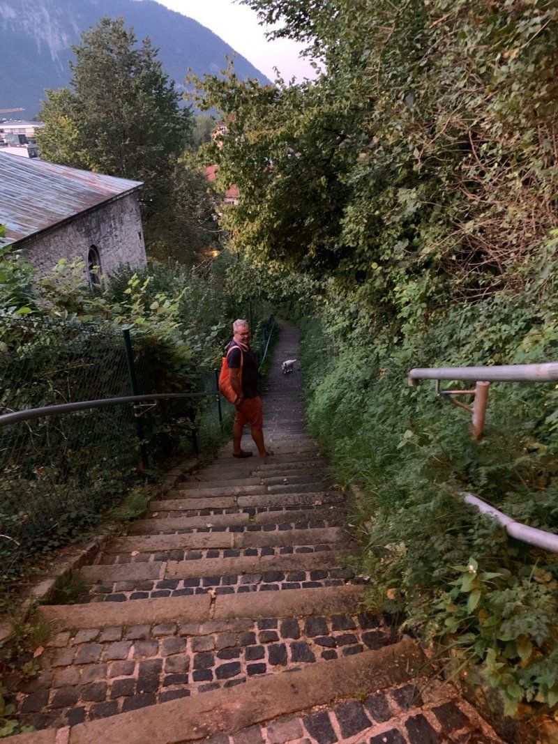
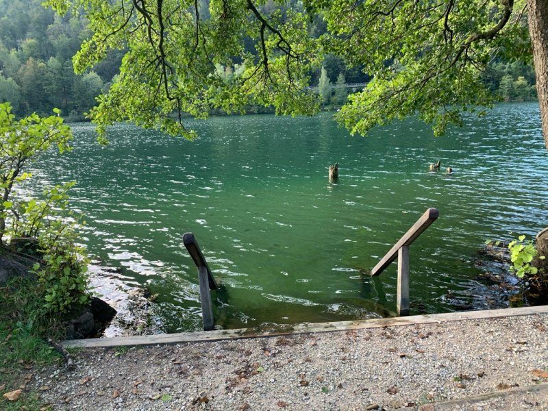
1st overnight stay in the parking lot at Thumsee. Great walk around thumsee.
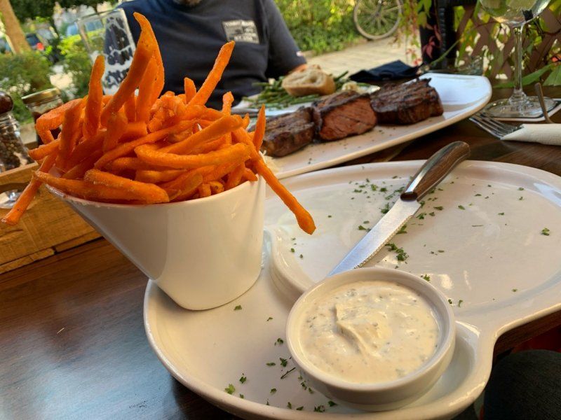
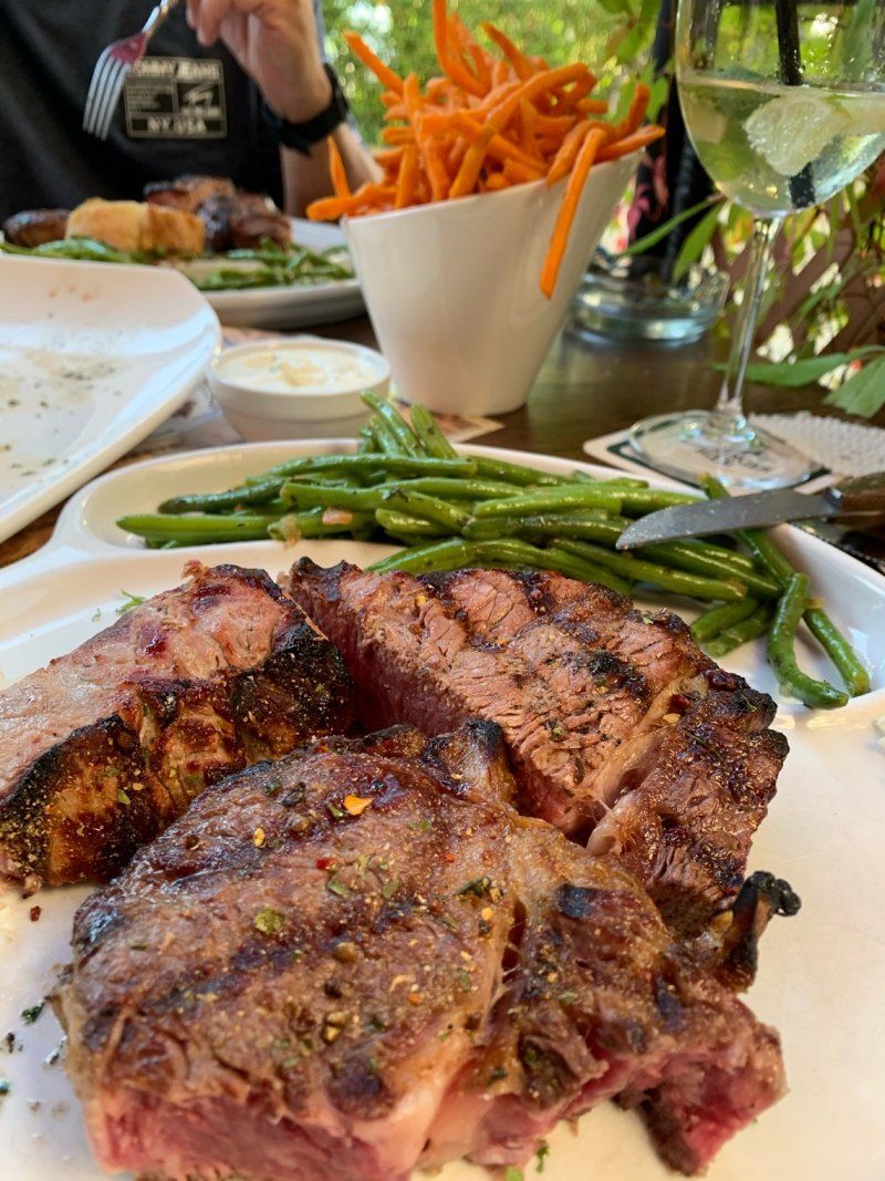
Eat in the B306 in the Klosterklause. Very good meat and great presentation of the current daily meat recommendations
2. Overnight stay in the Madlbauer car park, because we will have breakfast there the next morning € 12 / pp
Before that, a swim in the clear Thumsee.
The second night was much quieter.
83435 Bad Reichenhall, Deutschland
47° 43' 49.2" N 12° 52' 53.7" E
47.7303361 12.8815880
• Head northwest.
• Turn left toward Bahnhofstraße. Go for 30 m.
• Turn sharp left onto Bahnhofstraße. Go for 93 m.
• Continue on Bahnhofplatz. Go for 1.2 km.
• Take ramp onto Salzburger Straße (B20/B21). Go for 1.1 km.
• Take ramp onto B20 toward München/A8/Salzburg/Passau/Burghausen/Freilassing. Go for 2.8 km.
• Take the 2nd exit from roundabout onto B20 toward A8/München/Salzburg/Passau/Burghausen/Freilassing/Piding-Dorf. Go for 390 m.
• Turn left and take ramp onto A8 toward München. Go for 111 km.
• Take exit 95 toward Nürnberg/Stuttgart/Messe/ICM/Flughafen München onto A99. Go for 29.9 km.
• Take exit 13 toward Berlin/Nürnberg/Deggendorf/Flughafen München onto A9. Go for 89.1 km.
• Keep left onto A9. Go for 61.0 km.
• Keep left onto E45 (Autobahnkreuz Nürnberg) toward Frankfurt a.M./Würzburg/Bamberg/Flughafen/A3/Nürnberg-Nord. Go for 2.3 km.
• Continue on A3. Go for 142 km.
• Take exit 66 toward Wertheim/Lengfurt/Miltenberg. Go for 298 m.
• Turn left onto L2310 toward Miltenberg/Wertheim/Lengfurt/Bettingen/Liebliches Taubertal. Go for 10.3 km.
• Turn left onto Rechte Tauberstraße (L506). Go for 254 m.
• Turn right toward Bahnhofstraße. Go for 81 m.
• Turn right onto Bahnhofstraße. Go for 131 m.
• Turn left onto Grabenstraße. Go for 81 m.
• Turn left onto Bismarckstraße. Go for 94 m.
• Continue on Hans-Bardon-Straße. Go for 147 m.
• Turn right onto Wilhelm-Langguth-Straße. Go for 40 m.
• Arrive at Wilhelm-Langguth-Straße. Your destination is on the right.
☍
452,6 km
(4 hrs. 8 min.)
Day
Wertheim, Deutschland
Little dogs wash in the washing facility with an extra platform for womos and then a delicious pizza on the camping site in Marktheidenfeld
97877 Wertheim, Deutschland
49° 45' 31" N 9° 30' 46.3" E
49.7586035 9.5128511
• Head west on Wilhelm-Langguth-Straße. Go for 7 m.
• Turn left onto Schützenstraße. Go for 68 m.
• Turn right onto Ferdinand-Hotz-Straße. Go for 250 m.
• Turn right onto Alte Vockenroter Steige. Go for 201 m.
• Turn right onto Uihleinstraße (L508). Go for 375 m.
• Turn right onto Bahnhofstraße. Go for 224 m.
• Turn left toward Rechte Tauberstraße/L506. Go for 81 m.
• Turn left onto Rechte Tauberstraße (L506). Go for 254 m.
• Turn right onto Packhofstraße (L2310). Go for 9.4 km.
• Turn left onto L617 toward Marktheidenfeld/Bettingen. Go for 331 m.
• Turn right onto Dertinger Weg. Go for 672 m.
• Take the 2nd exit from roundabout onto Hymerring. Go for 135 m.
• Turn left. Go for 49 m.
• Turn left. Go for 74 m.
• Turn right. Go for 63 m.
• Arrive at your destination on the left.
☍
12,1 km
( 15 min.)
Day
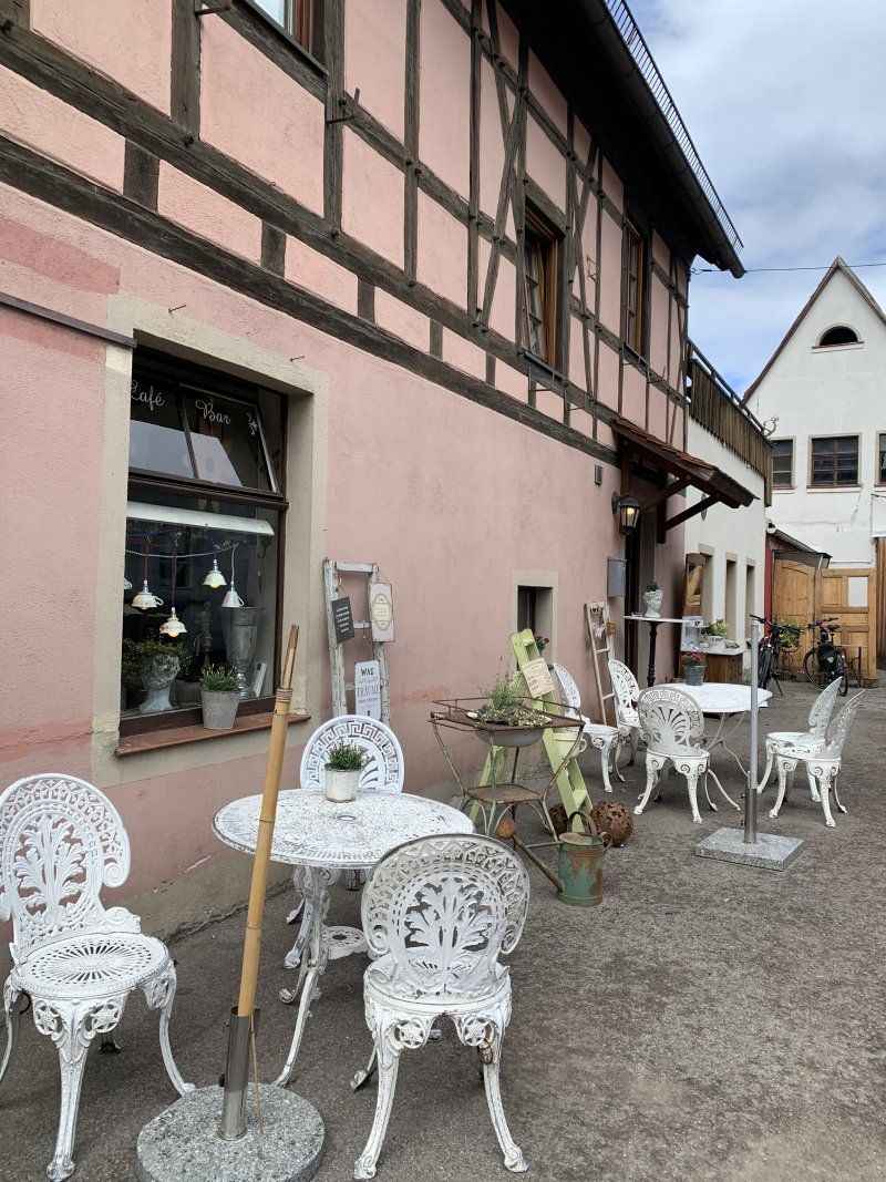
Wertheim Village, Almosenberg, Wertheim, Deutschland
Stroll through Wertheim village and spend the night with a winemaker from the winemaker's guide.
Almosenberg, 97877 Wertheim, Deutschland
49° 46' 29.1" N 9° 34' 42.3" E
49.7747377 9.5784044
• Head north. Go for 17 m.
• Turn right. Go for 75 m.
• Turn right toward Hymerring. Go for 129 m.
• Turn left onto Hymerring. Go for 531 m.
• Turn left onto Almosenberg. Go for 432 m.
• Turn right onto L2310. Go for 212 m.
• Turn left toward Frankfurt a.M. Go for 61 m.
• Take ramp onto A3. Go for 24.0 km.
• Take exit 64 toward Rohrbrunn/Obernburg/Dammbach. Go for 445 m.
• Continue on St2317 toward Rohrbrunn/Obernburg/Dammbach. Go for 396 m.
• Take the 3rd exit from roundabout onto St2312 toward Obernburg/Dammbach/Marktheidenfeld/Rohrbrunn. Go for 813 m.
• Turn right onto St2317 toward Obernburg/Dammbach. Go for 10.6 km.
• Continue on Bayernstraße (St2308). Go for 4.3 km.
• Take the 3rd exit from roundabout onto St2308 toward Obernburg. Go for 1.4 km.
• Take the 2nd exit from roundabout onto St2308 toward Frankfurt/Obernburg/Rück. Go for 1.3 km.
• Turn left onto Elsavatalstraße (St2441). Go for 115 m.
• Turn right onto MIL27. Go for 641 m.
• Continue on Gut Neuhof (MIL27). Go for 70 m.
• Continue on MIL27. Go for 1.4 km.
• Continue on Mechenharder Straße (MIL27). Go for 4.9 km.
• Turn right onto Miltenberger Straße (St2309). Go for 863 m.
• Turn left onto Dr.-Robert-Koch-Straße. Go for 13 m.
• Arrive at Dr.-Robert-Koch-Straße.
☍
52,7 km
( 43 min.)
63911 Erlenbach am Main, Deutschland
Large parking space at the Wengerter winery via the winemaker guide.
Erlenbach am Main, Deutschland
49° 48' 29.4" N 9° 9' 31.4" E
49.8081748 9.1587233
• Head toward Miltenberger Straße on Dr.-Robert-Koch-Straße. Go for 13 m.
• Turn left onto Miltenberger Straße (St2309). Go for 3.1 km.
• Take the 2nd exit from roundabout onto Erlenbacher Straße (St2309). Go for 137 m.
• Turn left onto Mainbrücke (St2308). Go for 721 m.
• Take ramp onto B469 toward Frankfurt/Würzburg/Aschaffenburg. Go for 20.3 km.
• Take ramp onto A3 toward Frankfurt a.M./Hanau. Go for 206 km.
• Take exit 28 toward Köln-Süd/Aachen/Köln-Deutz onto A4. Go for 30.9 km.
• Take exit 8 toward Venlo onto A61. Go for 22.7 km.
• Take left exit 16 toward Venlo/Düsseldorf/Mönchengladbach/A61 onto A44. Go for 7.5 km.
• Take the exit toward Heinsberg/Venlo/Mönchengladbach/A61 onto A46. Go for 4.0 km.
• Take exit 10 toward Venlo/Mönchengladbach onto A61. Go for 32.0 km.
• Take exit 3 toward Kaldenkirchen-Süd/Brüggen/Bracht/B221. Go for 1.5 km.
• Take the 2nd exit from roundabout onto B221. Go for 1.7 km.
• Turn right onto Bass. Go for 647 m.
• Continue on Heidhausen. Go for 1.2 km.
• Continue on Zum Weißen Stein. Go for 3.9 km.
• Continue on Keulseweg. Go for 68 m.
• Turn left. Go for 59 m.
• Arrive at your destination.
☍
336,6 km
(3 hrs. 26 min.)
Day
Camping Natuurplezier, Keulseweg, Reuver, Niederlande
Small campsite on the German-Dutch border near Venlo / Brüggen.
Keulseweg 200, 5953 HP Reuver, Niederlande
51° 16' 28.1" N 6° 7' 23.2" E
51.2744828 6.1231241
• Head toward Keulseweg. Go for 59 m.
• Turn left onto Keulseweg. Go for 846 m.
• Turn right onto Polderweg. Go for 981 m.
• Continue on Koelesweg. Go for 1.9 km.
• Turn left onto Broekstraat. Go for 377 m.
• Continue on Broekstraat. Go for 591 m.
• Turn right onto Poldersweg. Go for 1.9 km.
• Turn left and take ramp onto A73 toward Venlo. Go for 8.7 km.
• Take exit 12+13 toward Duisburg onto A67. Go for 8.1 km.
• Continue on A40. Go for 10.5 km.
• Take exit 4 toward Wachtendonk/Kempen. Go for 426 m.
• Turn right onto Kempener Straße (L361). Go for 5.3 km.
• Turn right onto Industriering Ost toward Gewerbegebiet am Selder. Go for 624 m.
• Turn right onto Arnoldstraße. Go for 389 m.
• Turn right onto Am Selder. Go for 157 m.
• Turn left. Go for 107 m.
• Arrive at your destination on the left.
☍
41,0 km
( 34 min.)
Day
47906 Kempen, Deutschland
51° 22' 13.8" N 6° 25' 38.5" E
51.3704929 6.4273577