Our first destination is the island of Rømø in Denmark, from there we take the ferry to Sylt, back after a week and on the way home we still have Sankt Peter Ording and Hamburg on the plan :)
Day
72379 Hechingen, Deutschland
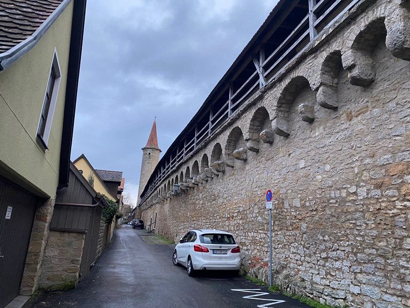
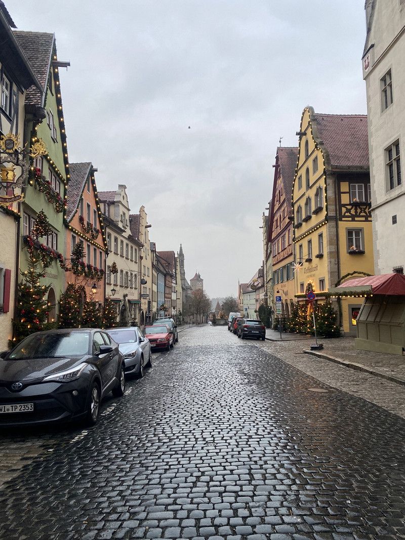
We just wanted to drive as long as we wanted and we only got as far as Rothenburg ob der Tauber. We parked on the side street by the bus and mobile home parking lot right by the city wall
48° 21' 14" N 8° 57' 40.9" E
48.3538888 8.9613627
• Head south on Am Schloßberg. Go for 56 m.
• Turn left onto Am Schloßberg. Go for 101 m.
• Turn left onto Neustraße (K7107). Go for 350 m.
• Continue on Haigerlocher Straße (K7107). Go for 163 m.
• Take the 1st exit from roundabout onto Hofgartenstraße (K7178). Go for 424 m.
• Take the 1st exit from roundabout onto Bahnhofstraße (K7178). Go for 592 m.
• Take the 2nd exit from roundabout onto B32 toward Sigmaringen/Burladingen/B27/Tübingen/HE-Schlatt/Stadtmitte/Stetten/Boll. Go for 237 m.
• Turn right toward Stuttgart/Tübingen/Stetten/Boll/Stadtmitte. Go for 140 m.
• Take ramp onto B27. Go for 8.1 km.
• Keep left onto Hechinger Straße (B27) toward Stuttgart/Tübingen/Dußlingen. Go for 42.9 km.
• Take ramp onto A8 toward Gewerbegebiet Vaihingen-Möhringen. Go for 15.2 km.
• Take the exit toward Würzburg/Mannheim/Heilbronn onto A81. Go for 133 km.
• Take the exit toward Nürnberg/Kassel onto A3. Go for 7.8 km.
• Take exit 70 toward W.-Heidingsfeld/W.-Zentrum onto B19. Go for 1.2 km.
• Keep right onto B19. Go for 5.7 km.
• Keep left onto B19 toward Kassel/Schweinfurt/Werneck/Wü.-Lengfeld. Go for 2.9 km.
• Keep left onto B19 toward Kassel/A7/Ulm/Nürnberg/Bad Neustadt a.d. Saale/Schweinfurt. Go for 4.1 km.
• Take ramp onto A7 toward Kassel/Schweinfurt. Go for 132 km.
• Continue on A7. Go for 368 km.
• Keep left onto A7. Go for 155 km.
• Take exit 2 toward Flensburg/Harrislee/Handewitt/Niebüll/Leck onto B199. Go for 1.9 km.
• Turn right onto Ellunder Straße (K30) toward Ellund. Go for 2.3 km.
• Turn left onto Flensburger Straße (L192). Go for 29.9 km.
• Turn right onto Hauptstraße (B5). Go for 2.0 km.
• Continue on Sønderløgumlandevej (11). Go for 3.3 km.
• Pass 4 roundabouts and continue on Ribelandevej (11). Go for 7.0 km.
• Take the 2nd exit from roundabout onto Ribelandevej (11) toward Ribe/175/Rømø. Go for 3.1 km.
• Pass 2 roundabouts and continue on Hovedvejen (11). Go for 18.8 km.
• Take the 3rd exit from roundabout onto Rømøvej (175) toward Rømø. Go for 13.9 km.
• Turn left onto Havnebyvej (175). Go for 6.3 km.
• Turn right onto Langdalsvej. Go for 37 m.
• Turn left onto Sønderbyvej. Go for 270 m.
• Turn right onto Rømersvej. Go for 279 m.
• Turn left onto Vråbyvej. Go for 190 m.
• Arrive at Vråbyvej. Your destination is on the right.
☍
967,7 km
(9 hrs. 1 min.)
Day
Fahrt von Rothenburg ob der Tauber bis Quickborn
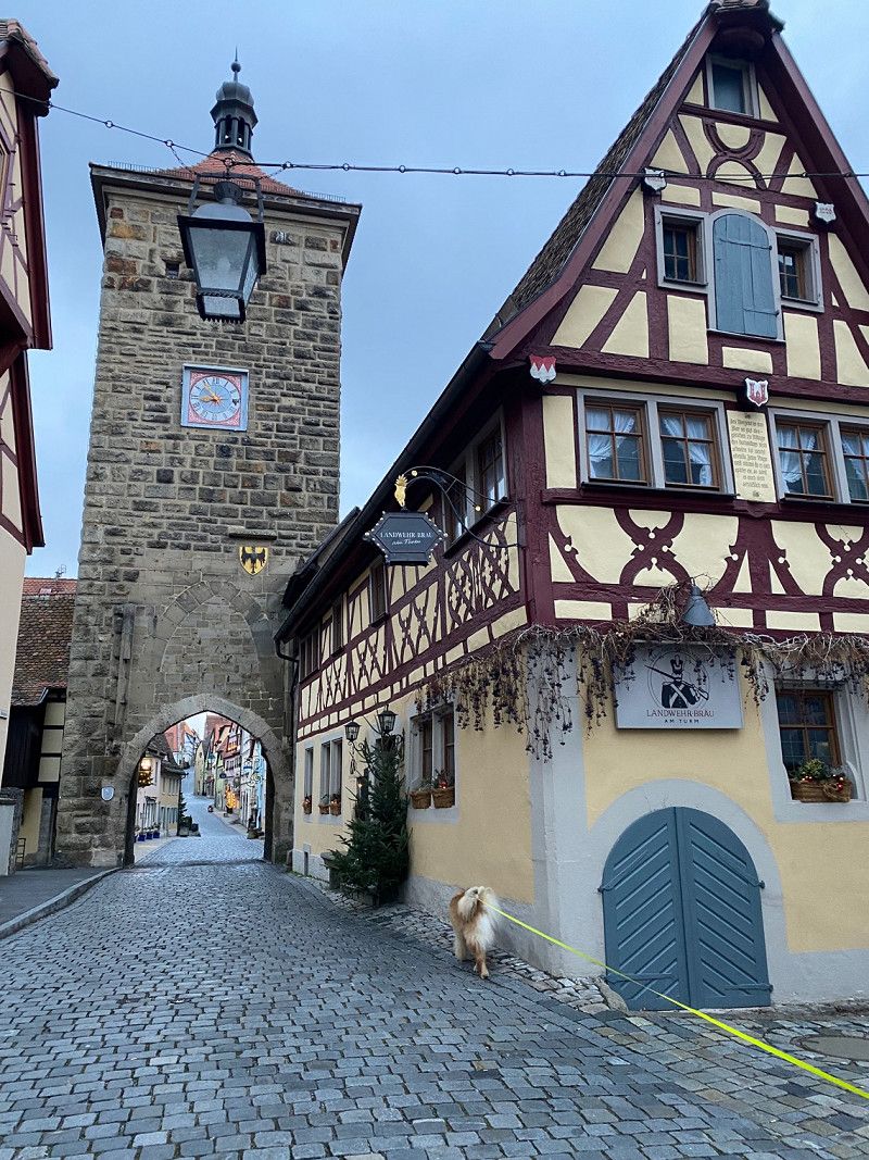
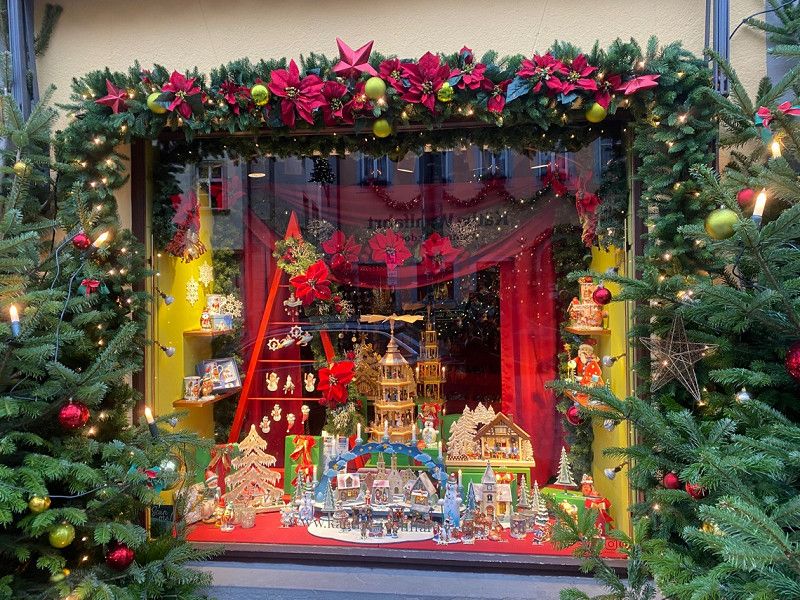
After a small city tour (incredibly beautiful old town) we drove throughout the day and in the evening we simply got off the motorway into a smaller town and fortified ourselves for the night in the residential area.
Day
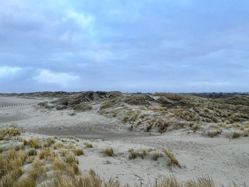
Anfahrt auf die Insel Rømø
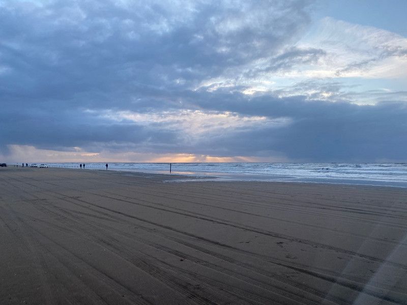
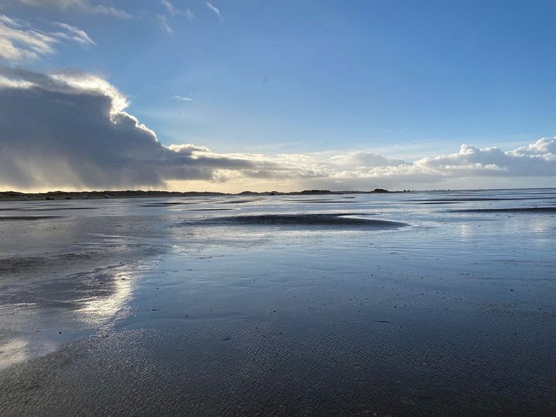
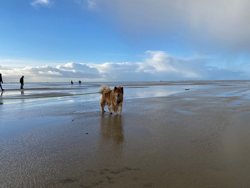
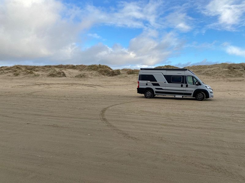
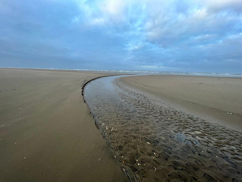
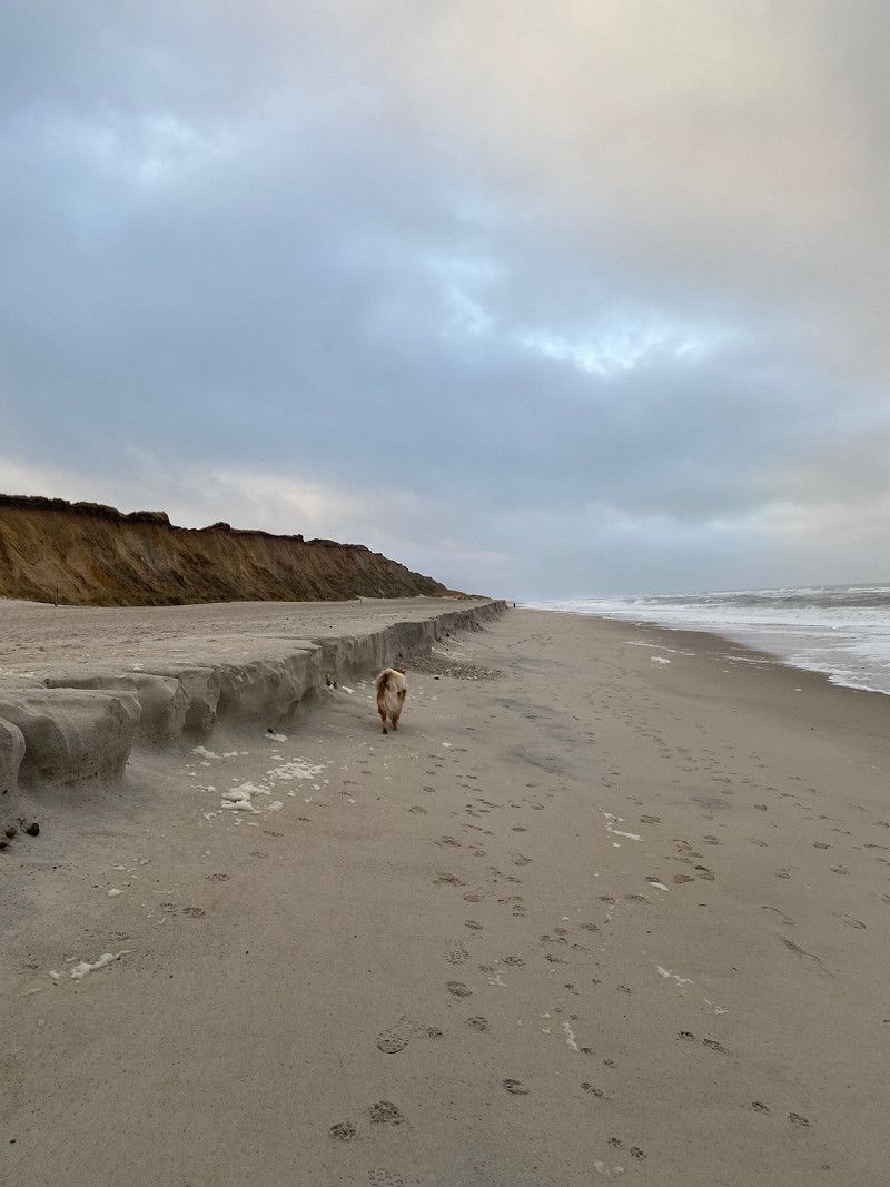
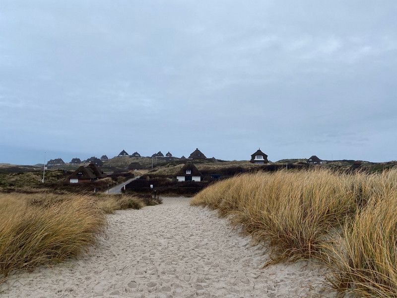
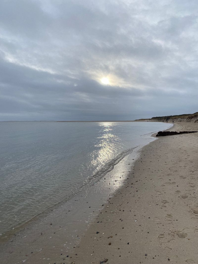
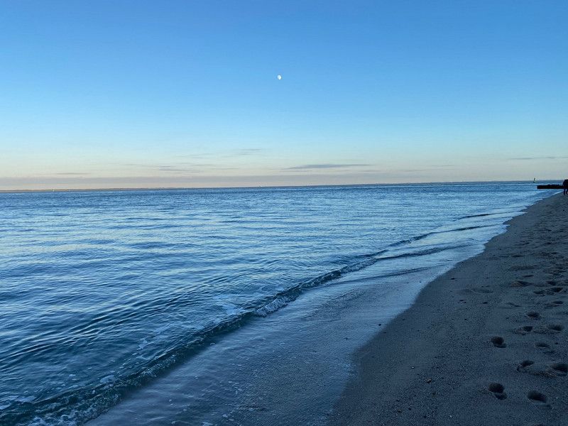
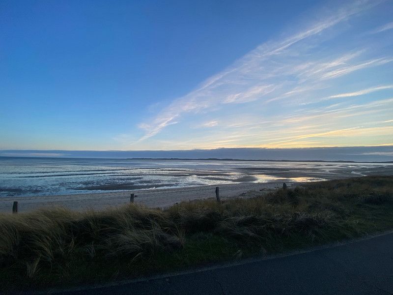
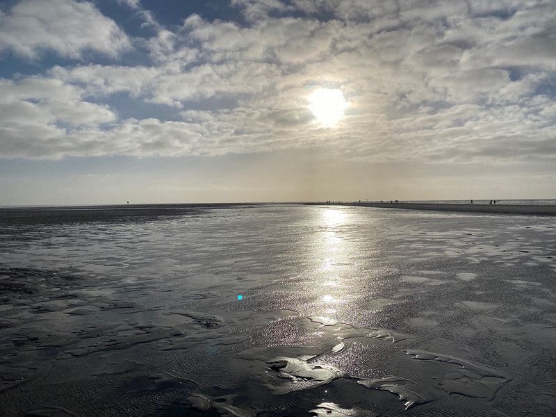
We finally arrived in the late morning and after our check-in at the oases we drove straight to the motorable beach LaKolk and yes, what can I say? A dream
In the evening we rode a lap around the island and then back to our pitch
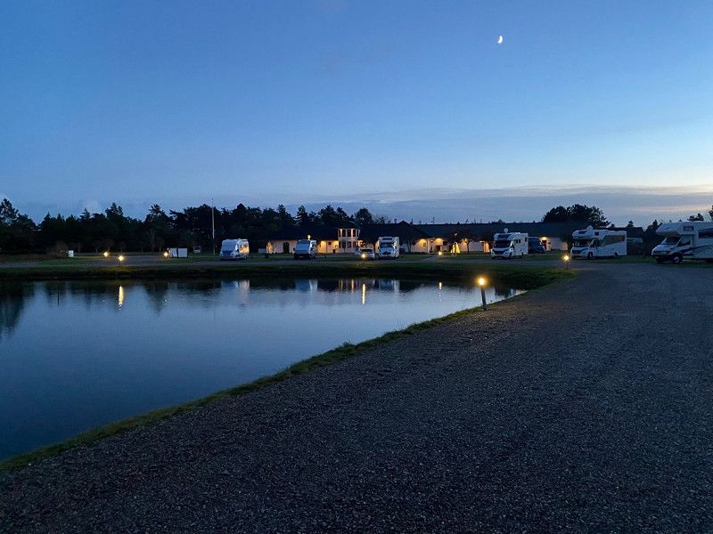
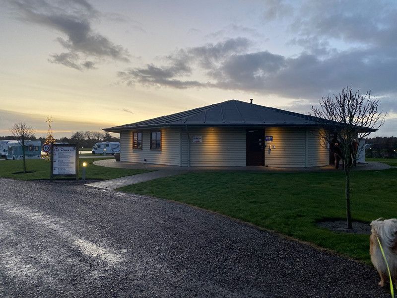
Oasen Rømø Womo Stellplatz, Rømersvej, Rømø, Dänemark
Super great laid out camper place
Rømersvej 29, 6792 Rømø, Dänemark
55° 5' 29.4" N 8° 32' 23.5" E
55.0915054 8.5398602
• Head southeast on Vråbyvej. Go for 320 m.
• Turn left onto Sønderbyvej. Go for 835 m.
• Turn right onto Langdalsvej. Go for 37 m.
• Turn left onto Havnebyvej (175). Go for 6.3 km.
• Turn left onto Vesterhavsvej. Go for 3.6 km.
• Turn left onto Lakolk. Go for 760 m.
• Arrive at Lakolk.
☍
11,8 km
( 15 min.)
Day
Rømø, Dänemark
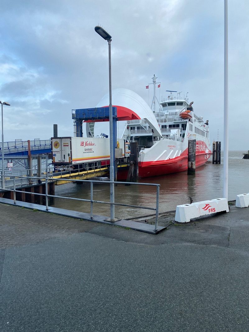
We have decided to stay a full day today and not ship to Sylt until tomorrow. We booked the ferry online last night (totally easy compared to the car train) and so we can enjoy the day on the beach again today 😌
6792 Röm, Dänemark
55° 8' 20" N 8° 30' 49.9" E
55.1388860 8.5138711
• Head north on Lakolk. Go for 760 m.
• Turn right onto Vesterhavsvej. Go for 3.6 km.
• Turn right onto Havnebyvej (175). Go for 7.8 km.
• Continue on Nordre Havnevej. Go for 238 m.
• Continue on Østre Havnevej. Go for 267 m.
• Continue on Værftsvej. Go for 176 m.
• Continue on Lister Brygge. Go for 198 m.
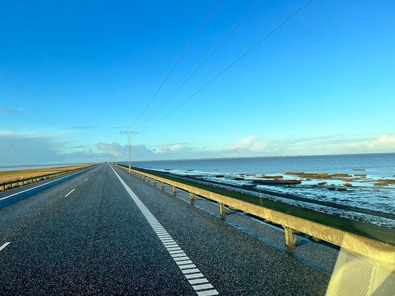
• Take the Havneby-List Ferry. Stay on for 12.6 km.
• Head northwest on Am Fähranleger. Go for 157 m.
• Arrive at Am Fähranleger. Your destination is on the right.
☍
25,8 km
(1 hrs. 5 min.)
Day
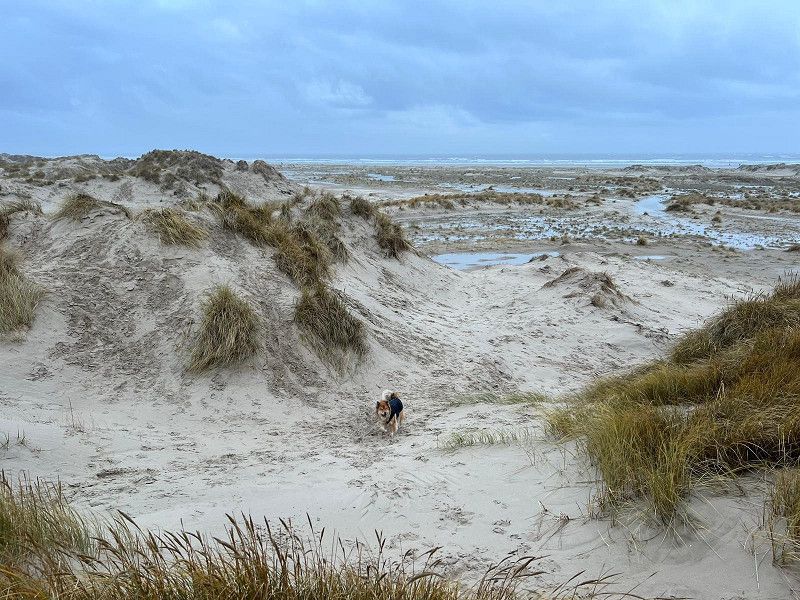
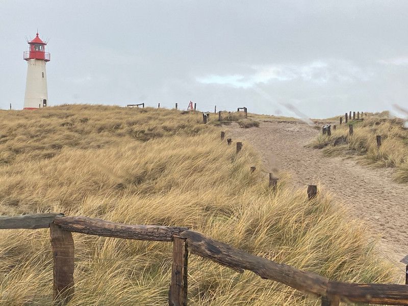
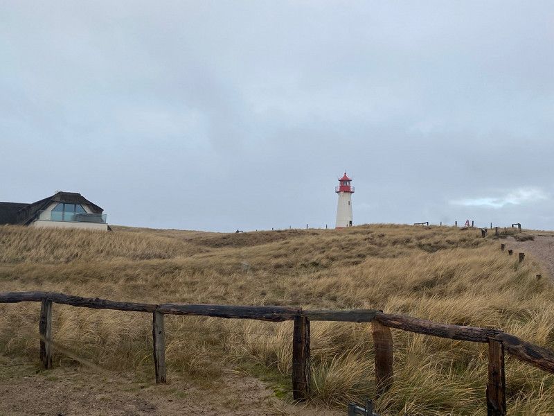
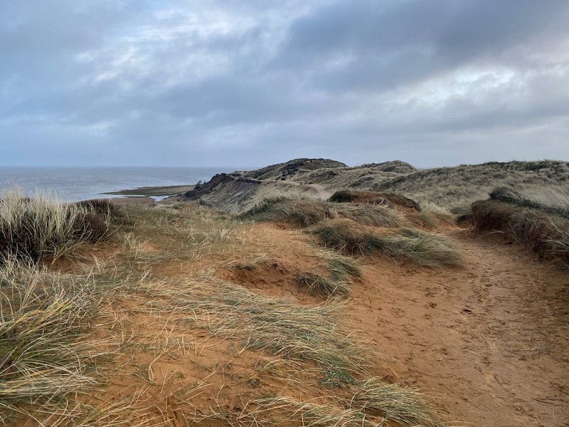
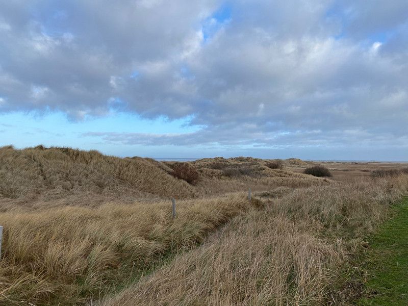
List und sein Ellenbogen
At 11.30 a.m. we took the Sylt ferry to the next island ;)
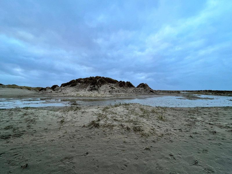
Arrive in List at around 12.15 p.m., where we spent the day directly. We are right at Lister Elbow. Stayed in the dunes in the WoMo until the dog was fit and the weather was better and then went for a walk along the elbow. In List, we parked in a parking lot at the port (park4night). We then went for a walk there in the evening.
Am Hafen 28, 25992 List, Deutschland
55° 1' 1.6" N 8° 26' 19.1" E
55.0171012 8.4386463
• Head northwest on Am Fähranleger. Go for 54 m.
• Take the 3rd exit from roundabout onto Hafenstraße. Go for 653 m.
• Turn left onto Listlandstraße. Go for 12.0 km.
• Take the 1st exit from roundabout onto Hauptstraße. Go for 491 m.
• Continue on Berthin-Bleeg-Straße. Go for 207 m.
• Turn right onto Westerstraße. Go for 268 m.
• Turn left onto Dünenwall. Go for 90 m.
• Arrive at Dünenwall.
☍
13,7 km
( 15 min.)
Day
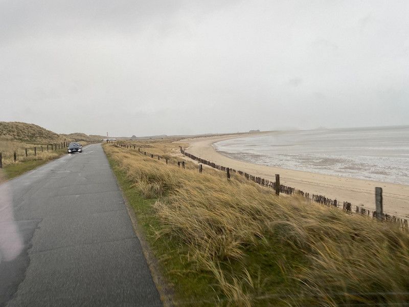
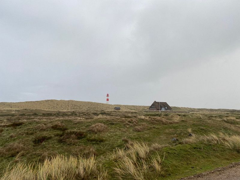
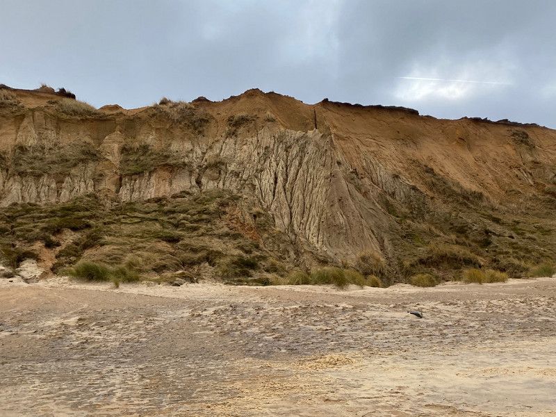
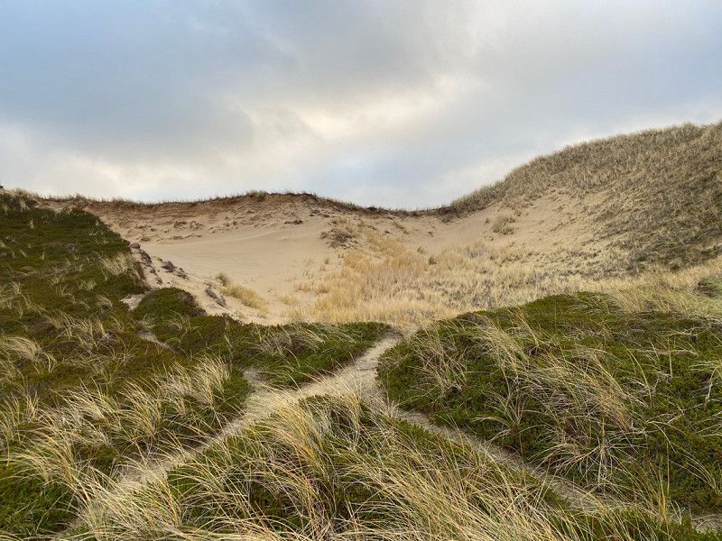
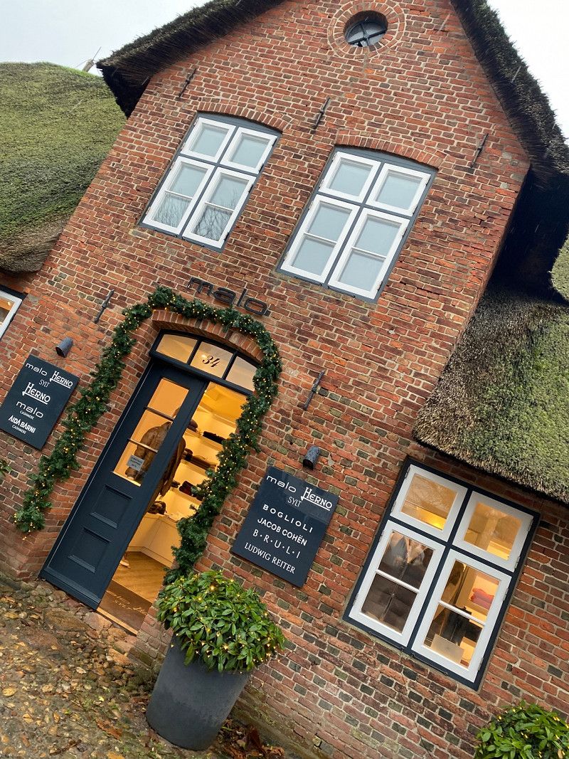
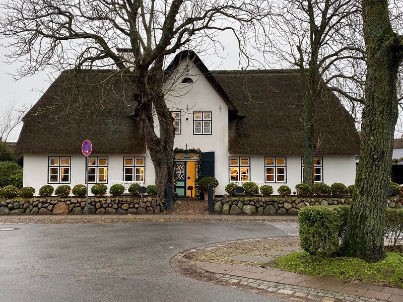
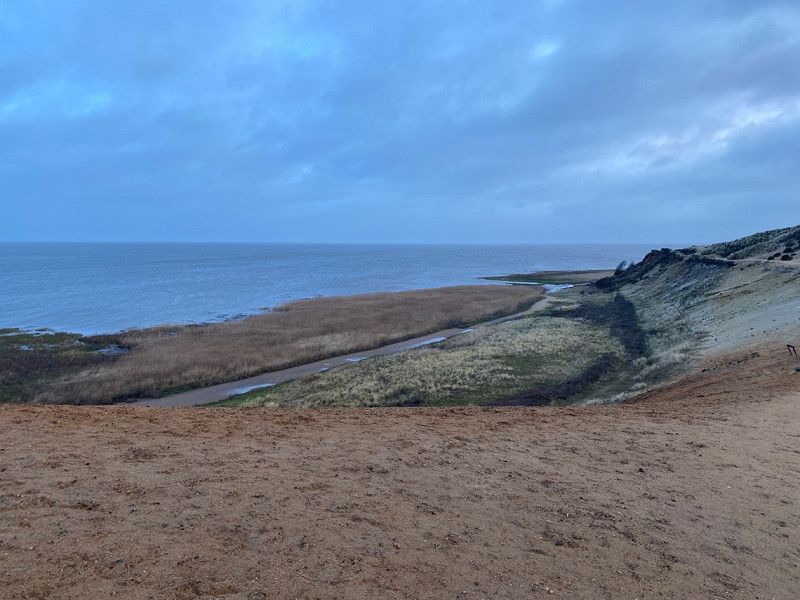
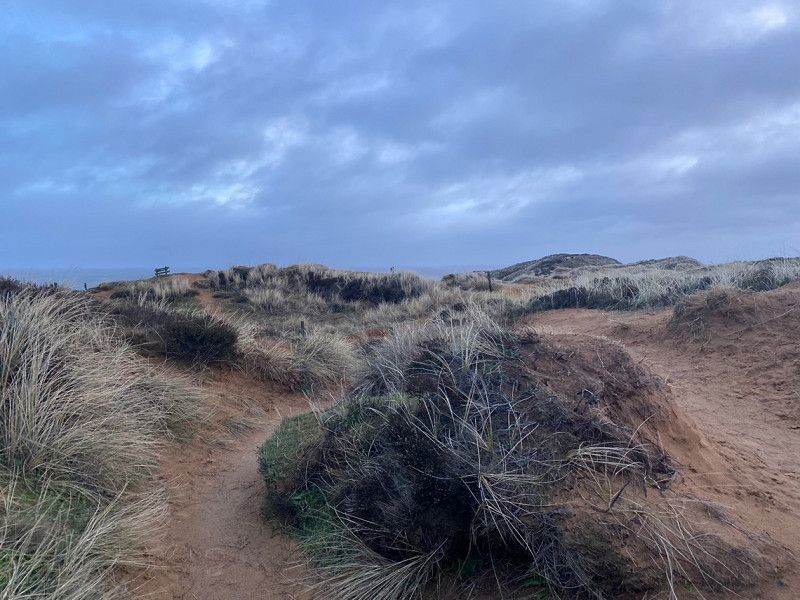
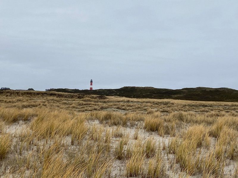
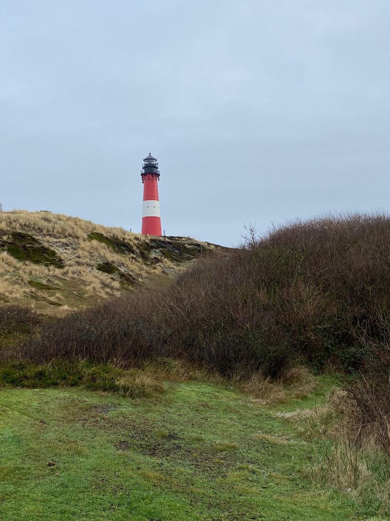
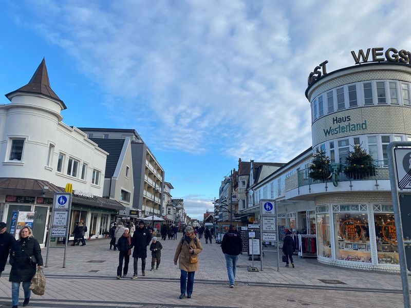
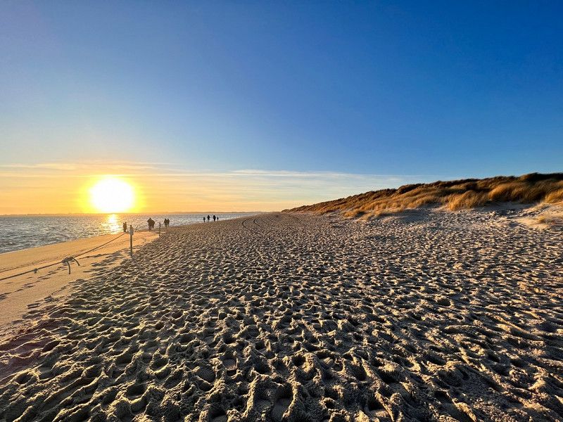
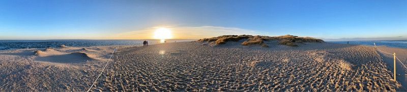
Rotes Kliff, Kampen und Westerland
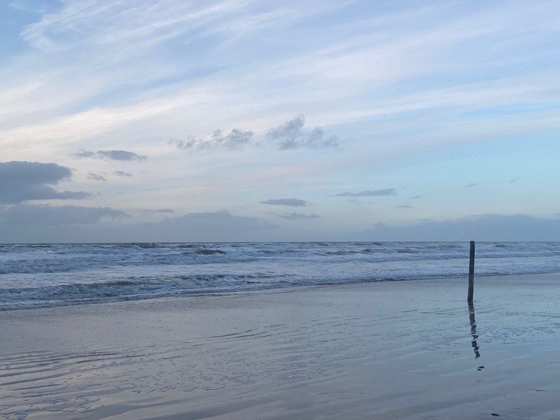
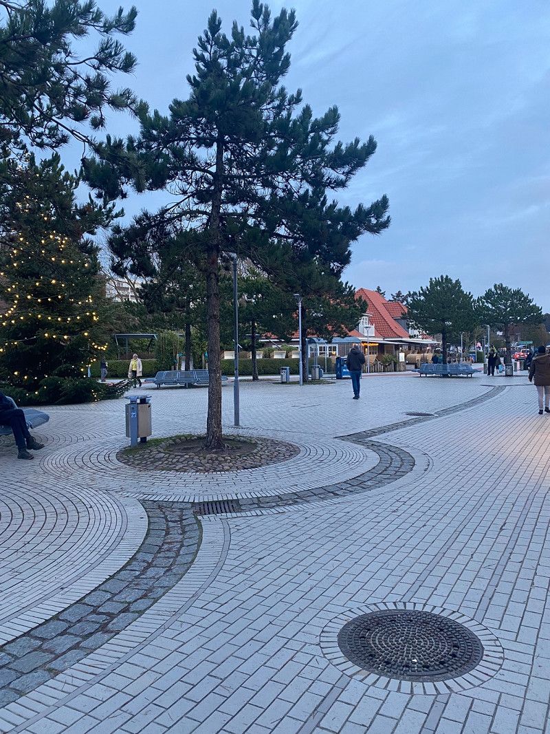
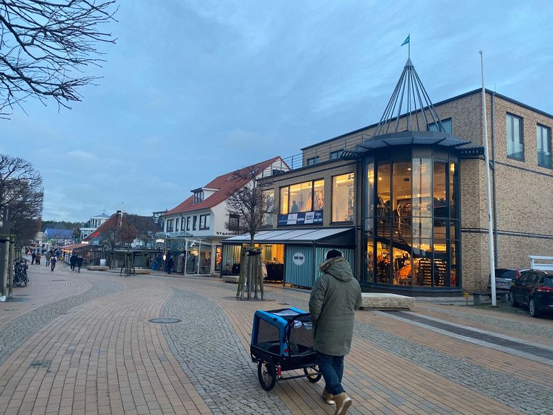
In the morning we went directly to the beach car park in Kampen and took a long walk along the red cliff (just amazing!!!) and in the dunes. After that we explored the place a bit. There are enough parking spaces here and in winter almost everywhere free of charge!
Towards evening we drove to Westerland and strolled through the pedestrian zone. We stayed at the beach car park "Dikjen Deel"
25996 Kampen (Sylt), Deutschland
54° 56' 34.6" N 8° 19' 8.1" E
54.9429550 8.3189249
• Head toward Westerstraße on Dünenwall. Go for 90 m.
• Turn right onto Westerstraße. Go for 68 m.
• Turn left onto Lerchenweg. Go for 218 m.
• Turn right onto Am Dorfteich. Go for 219 m.
• Turn left onto Hauptstraße. Go for 467 m.
• Take the 1st exit from roundabout onto Umgehungsstraße (L24). Go for 2.2 km.
• Continue on L24. Go for 954 m.
• Continue on Culemeyerstraße. Go for 490 m.
• Turn left onto Keitumer Landstraße (L24). Go for 232 m.
• Continue on Keitumer Landstraße (K117). Go for 2.5 km.
• Continue on K117. Go for 432 m.
• Continue on K117. Go for 1.7 km.
• Continue on Dorfstraße (K117). Go for 2.5 km.
• Continue on Terpstich (K117). Go for 356 m.
• Turn slightly left onto Terpstich (K117). Go for 2.0 km.
• Turn left onto Nösistig. Go for 319 m.
• Turn right onto Nösistig. Go for 885 m.
• Turn right. Go for 20 m.
• Arrive at your destination on the left.
☍
15,6 km
( 25 min.)
Day
Keitum und Morsum
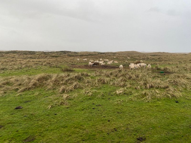
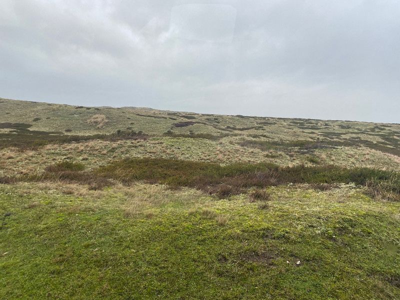
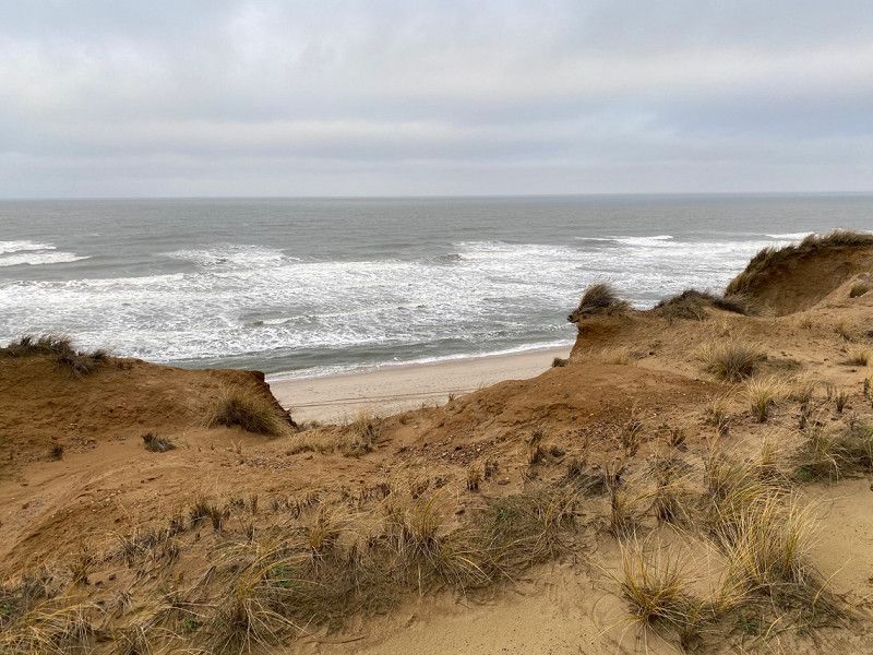
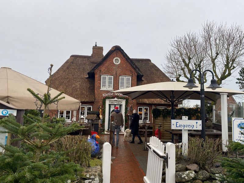
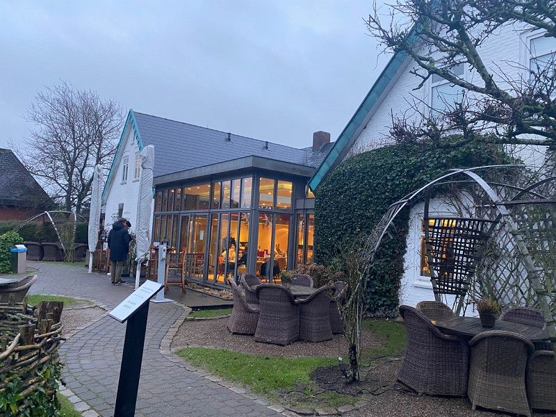
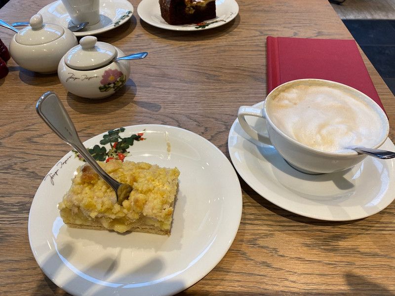
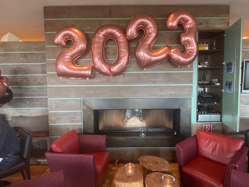
In the morning, after a short walk in the dunes, we drove to Keitum (there is a large, free car park right at the entrance to the town) and explored the town and the dyke. After that, we went to Morsum to Café Knoblauchsen (highly recommended) and then to P Morsum Kliff, where we spent the night to avoid any New Year's Eve crackers as our dog is very scared. There is a general ban on Sylt, but it's safer than sorry and we actually started the new year without a bang (but extremely stormy) :)
Parkplatz, Nösistich, 25980 Sylt-Ost, Deutschland
54° 52' 21.7" N 8° 27' 28.8" E
54.8727052 8.4579884
• Head toward Nösistig. Go for 20 m.
• Turn left onto Nösistig. Go for 885 m.
• Turn left onto Nösistig. Go for 214 m.
• Turn right onto Litjmuasem. Go for 265 m.
• Turn right onto Terpstich (K117). Go for 2.2 km.
• Continue on Dorfstraße (K117). Go for 2.5 km.
• Continue on K117. Go for 1.7 km.
• Keep right onto K117. Go for 432 m.
• Continue on Keitumer Landstraße (K117). Go for 1.9 km.
• Turn left onto Zur Kratzmühle. Go for 453 m.
• Turn right onto Dirksstraße. Go for 401 m.
• Continue on Kampende. Go for 463 m.
• Continue on Silwai. Go for 423 m.
• Continue on Tinnumer Straße. Go for 363 m.
• Turn left onto Trift (L24). Go for 132 m.
• Continue on Lorens-de-Hahn-Straße (L24). Go for 1.9 km.
• Continue on Rantumer Straße (L24). Go for 1.9 km.
• Continue on Hörnumer Straße (L24). Go for 8.6 km.
• Continue on Rantumer Straße (L24). Go for 3.6 km.
• Turn right onto Rantumer Straße. Go for 225 m.
• Continue on Am Campingplatz. Go for 307 m.
• Arrive at Am Campingplatz.
☍
28,8 km
( 46 min.)
Day
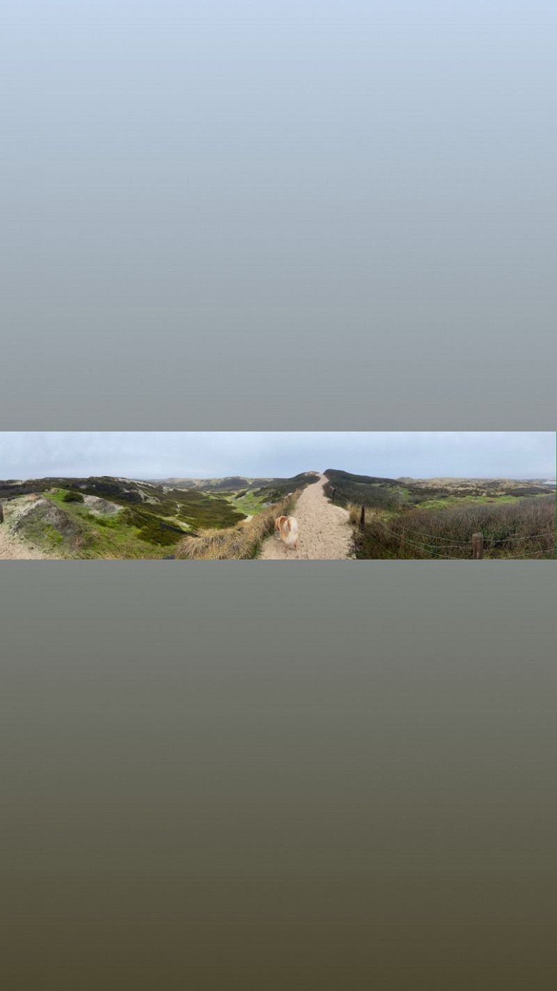
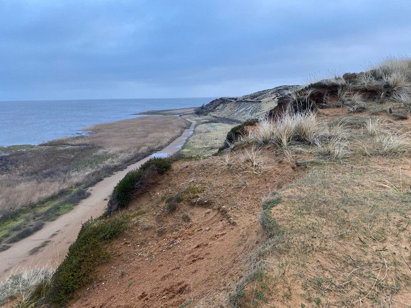
Spaziergang am Kliff -> Hörnum
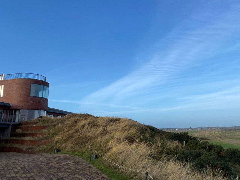
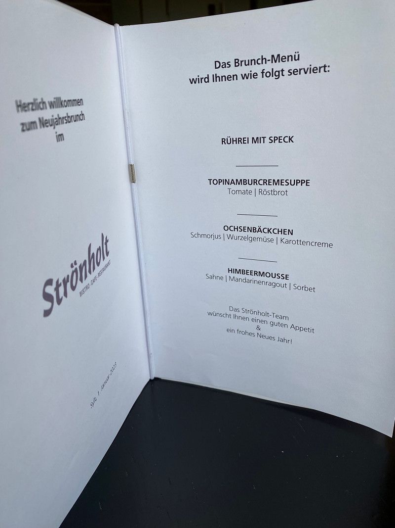
In the morning we walked the path "Morsum Kliff" and it's amazing!!! After that we registered for the New Year's reception at the Strönholt in Hornum, which was really worth it, and then after a round at the harbor we moved into our quarters for the next 2 nights: the Hörnum mobile home site
25997, Hörnum-Sylt, Deutschland
54° 46' 1.8" N 8° 16' 56.1" E
54.7671800 8.2822600
• Head south on Am Campingplatz. Go for 307 m.
• Continue on Rantumer Straße. Go for 225 m.
• Turn right onto Rantumer Straße (L24). Go for 650 m.
• Turn left onto Steintal. Go for 82 m.
• Turn right onto Budersandstraße. Go for 24 m.
• Arrive at Budersandstraße. Your destination is on the right.
☍
1,3 km
( 3 min.)
Day
Hörnum, Deutschland
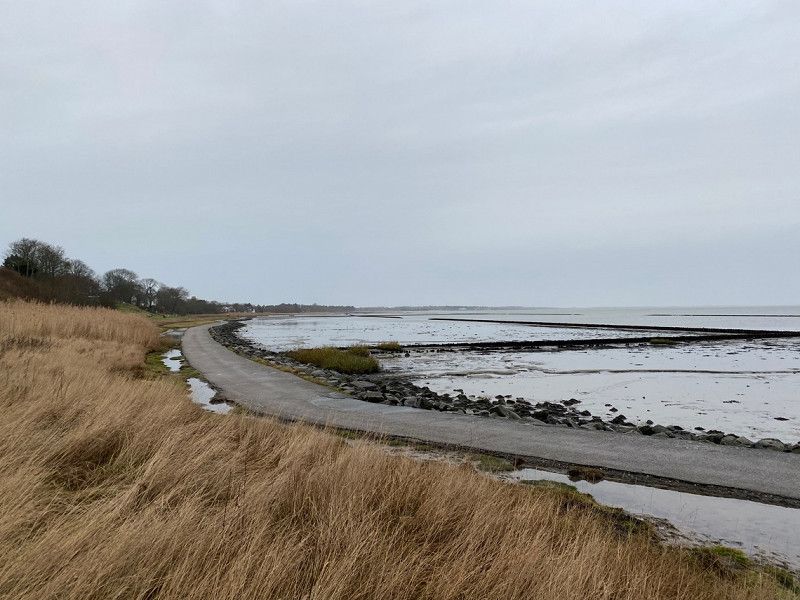
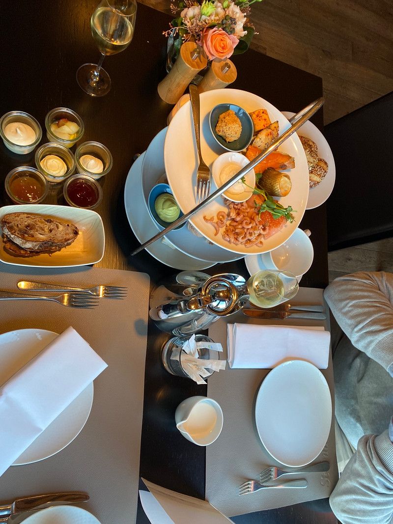
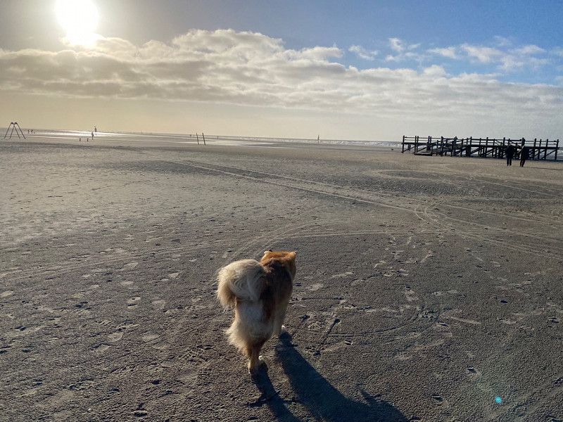
We took a morning walk across Hornum (past the Lund Bakery, highly recommended!), via the west beach, Hörnum Odde and the southernmost tip to the harbour. There are freshly caught mussels in the harbor restaurant: delicious!
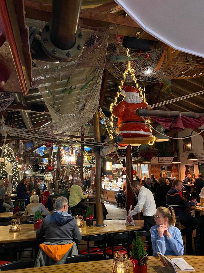
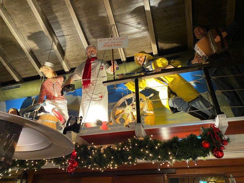
Then we went back to the parking space until we set off again in the evening to the Kap Horn restaurant
Hörnum (Sylt), Deutschland
54° 45' 26" N 8° 17' 16.2" E
54.7572205 8.2878325
• Head east on Budersandstraße. Go for 478 m.
• Turn left onto Berliner Ring. Go for 267 m.
• Turn right onto Rantumer Straße (L24). Go for 3.6 km.
• Continue on Hörnumer Straße (L24). Go for 8.6 km.
• Continue on Rantumer Straße (L24). Go for 1.9 km.
• Continue on Lorens-de-Hahn-Straße (L24). Go for 1.9 km.
• Continue on Trift (L24). Go for 193 m.
• Turn right onto Industrieweg. Go for 480 m.
• Turn right onto Autoverladung Westerland. Go for 426 m.
• Take the DB Autozug Syltshuttle car shuttle train. Stay on for 39.7 km.
• Head south. Go for 605 m.
• Continue on Kurt-Bachmann-Ring. Go for 466 m.
• Take the 1st exit from roundabout onto Bäderstraße (L7) toward A7/B5/Seebüll. Go for 606 m.
• Turn right onto B5 toward A7/Flensburg/Leck/Husum/Bredstedt. Go for 1.1 km.
• Turn left onto Siewert-Agsens-Wäi (K115). Go for 1.5 km.
• Continue on Naie Wäi (K115). Go for 2.6 km.
• Continue on Leckeng (K115). Go for 2.0 km.
• Continue on Birkstraße (K115). Go for 1.4 km.
• Turn right onto Hauptstraße (B199). Go for 512 m.
• Turn left onto Bergstraße (L300) toward Sprakebüll. Go for 365 m.
• Continue on Osterstraße (L300). Go for 1.0 km.
• Continue on L300. Go for 1.3 km.
• Continue on Bahnhofstraße (L300). Go for 773 m.
• Continue on Hauptstraße (L300). Go for 168 m.
• Continue on Bahnhofstraße (L300). Go for 665 m.
• Continue on Hauptstraße (L300). Go for 5.3 km.
• Continue on L300. Go for 8 m.
• Continue on Bärenshöft (L300). Go for 311 m.
• Continue on Bärenshöfter Straße (L300). Go for 389 m.
• Continue on Hauptstraße (L300). Go for 24 m.
• Continue on Bärenshöfter Straße (L300). Go for 3.8 km.
• Turn left onto Hauptstraße (B199). Go for 795 m.
• Take the 2nd exit from roundabout onto Hauptstraße (B199). Go for 11.4 km.
• Take ramp onto A7 toward Hamburg/Kiel. Go for 147 km.
• Take exit 26 toward HH-Stellingen/Hagenbecks Tierpark. Go for 408 m.
• Turn right onto Kieler Straße (B4/B5) toward A1/Elbbrücken/Centrum/Altona/Hagenbecks Tierpark/Stadion Arena. Go for 3.0 km.
• Turn left onto Eimsbütteler Marktplatz (B5) toward Centrum/City-Nord/Eppendorf/Messe/CCH. Go for 1.1 km.
• Continue on Fruchtallee. Go for 507 m.
• Continue on Schäferkampsallee. Go for 506 m.
• Continue on Schröderstiftstraße. Go for 588 m.
• Turn right onto Rentzelstraße toward Messe/CCH. Go for 631 m.
• Continue on Tschaikowskyplatz. Go for 163 m.
• Turn right onto Holstenglacis toward Elbbrücken/Centrum/Altona. Go for 162 m.
• Turn left onto Sievekingplatz toward Elbbrücken/Centrum. Go for 278 m.
• Continue on Johannes-Brahms-Platz. Go for 84 m.
• Continue on Kaiser-Wilhelm-Straße. Go for 419 m.
• Continue on Axel-Springer-Platz. Go for 89 m.
• Continue on Stadthausbrücke. Go for 242 m.
• Continue on Graskeller. Go for 130 m.
• Arrive at Graskeller. Your destination is on the right.
☍
249,9 km
(3 hrs. 58 min.)
Day
Hörnum, Westerland und List
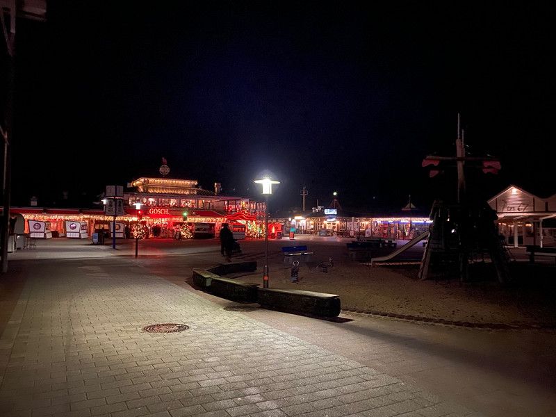
This morning we walked a loop from the camper place along the beach to Bäcker Lund and back. After checking out we went for a stroll to Westerland again and since we had great weather today we went back to lister elbow where we were able to enjoy an amazing sunset. Then we went to the Gosch at Lister Hafen and parked again in the proven parking lot for the night
Day
Abreise-Tag von Sylt nach Rømø und ab nach Wedel (Hamburg)
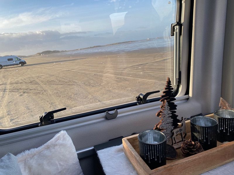
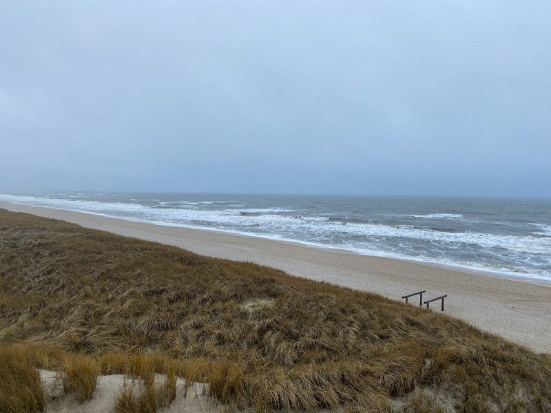
Today the North Sea weather really showed us what it can do, so in the morning we only ran a short lap on the promenade in Wenningstedt (unfortunately not that interesting for us) and then after a few errands we went back to List and took the ferry again to Romo. There had to be another detour to the LaKolk beach, but since the weather wasn't on our side there either, we didn't stay long and set off for the next destination: Wedel near Hamburg because we had an appointment at Canforce the following day to take our " Dumbo" with the Pandora alarm system.
There we spent the night in the industrial area on the parking strip.
Day
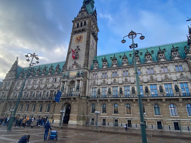
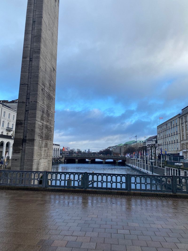
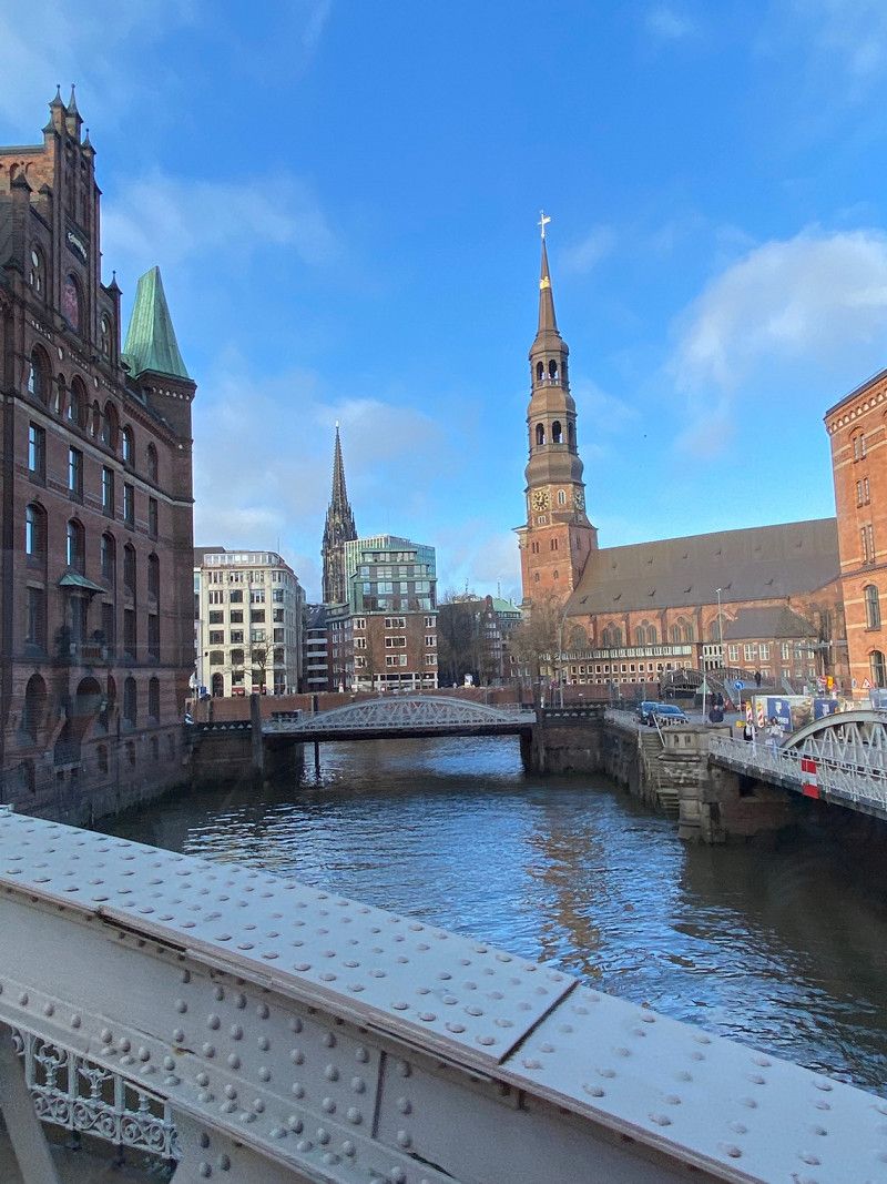
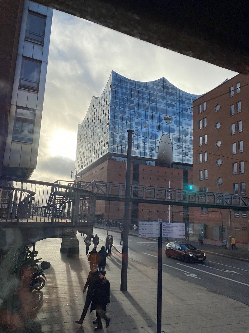
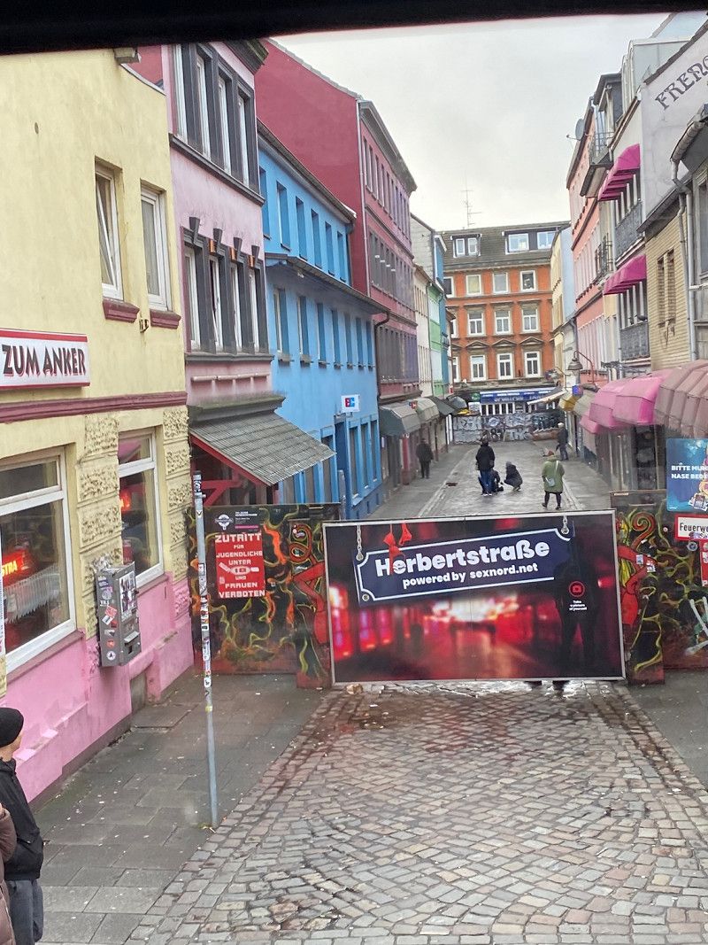
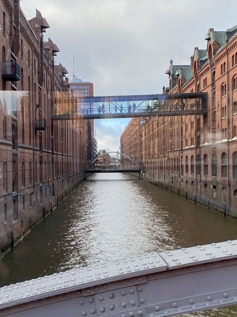
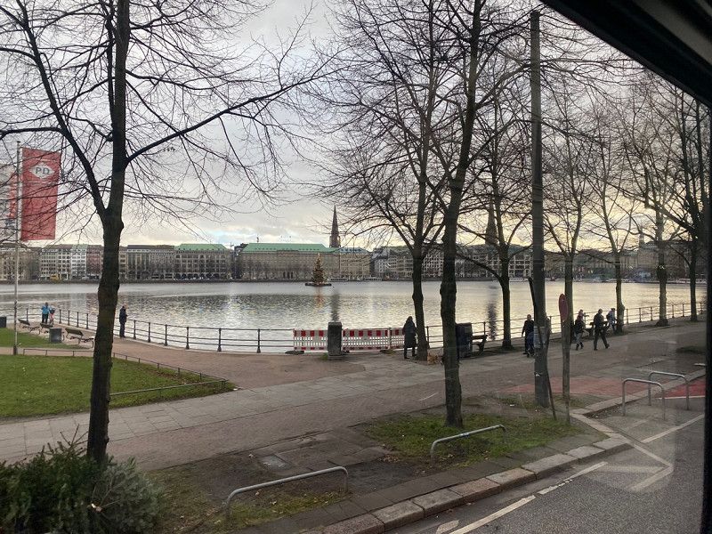
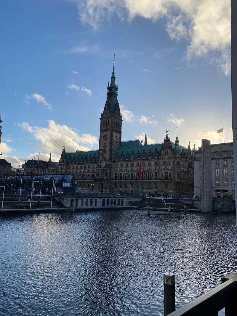
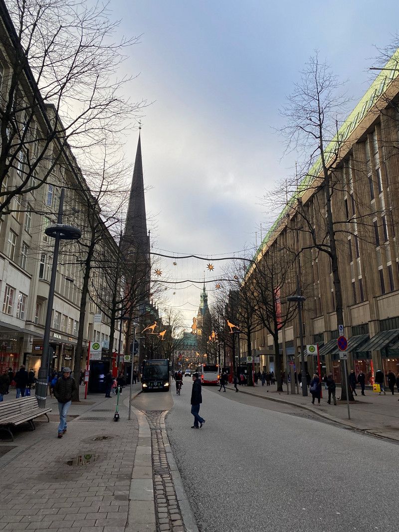
Hamburg
While the guys from Canforce upgraded our WoMo, we took the bus and S-Bahn to Hamburg and did a quick sightseeing tour, including with the red double-decker. It was a great day and a big difference again in the big city ;)
In the evening we got a great introduction to our new toy and then we left for Sankt Peter Ording to the SPO camping site
Hamburg, Deutschland
53° 32' 55.8" N 9° 59' 13.8" E
53.5488282 9.9871703
Day
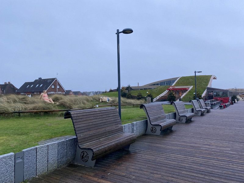
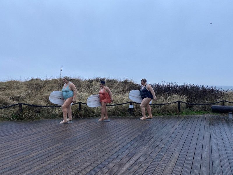
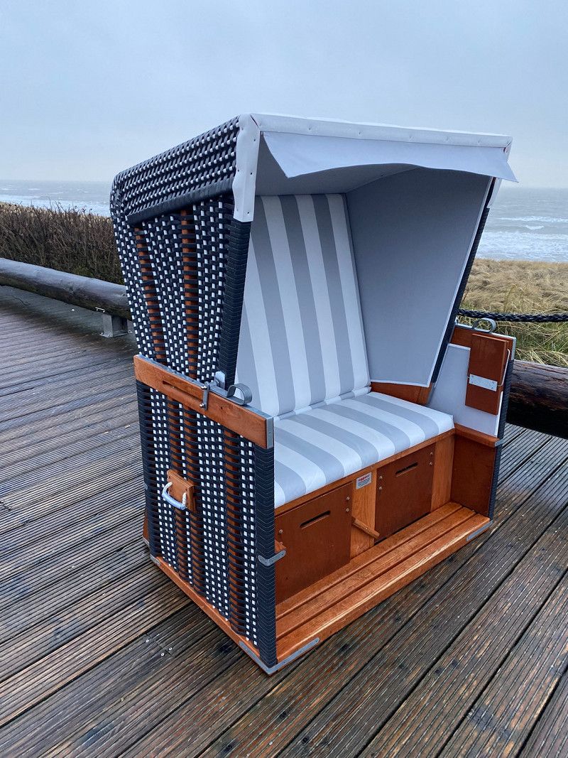
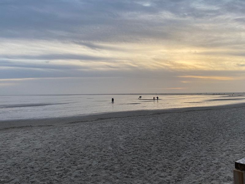
Sankt Peter Ording
We made a small hike directly from Camping SPO to the beach bridge in Sankt Peter Bad, strolled along the insanely great, huge beach and treated ourselves to a meal at Arche Noah. The ambience is great but we weren't that happy with the food. We actually wanted to go to the 54GradNord beach bar, but unfortunately it was closed for the winter...
Nevertheless, it was a beautiful day and on the way back we strolled a bit along the promenade.
Day
Es geht an die Heimreise…
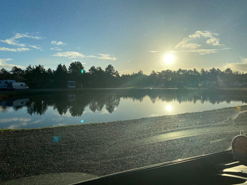
In the morning, after checking out, we went to the beach again, which, however, was a very short visit because the weather wasn't really nice when we said goodbye. Yes, then we drove throughout the day and added an overnight stay in the evening because it was too much for our dog in one go.
We spent the night in a parking lot by a small bathing lake in a place near Würzburg and the next morning we drove the last few kilometers home...