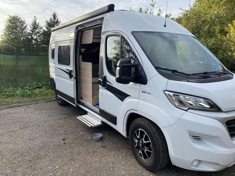
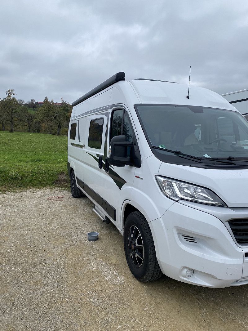
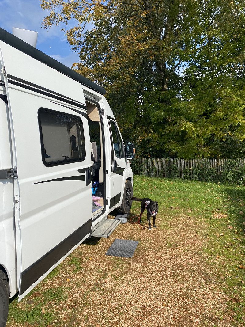
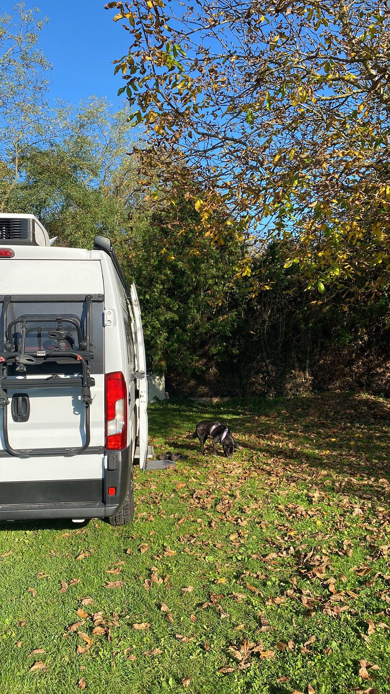
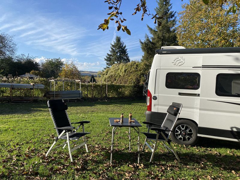
We drive with our dog in our van (Knaus). We head for RV parking spaces, parking spaces, sometimes campsites and places via Landvergnügen.
The route is a bit criss-cross because we want to meet friends
Day
Dortmund
Nordrhein-Westfalen, Deutschland
51° 30' 51.2" N 7° 27' 55" E
51.5142273 7.4652789
• Head east on Kampstraße. Go for 83 m.
• Make a U-Turn onto Kampstraße. Go for 165 m.
• Turn right onto Hansastraße. Go for 45 m.
• Turn right onto Bissenkamp. Go for 183 m.
• Turn left onto Lütge Brückstraße. Go for 69 m.
• Turn right onto Hansastraße. Go for 114 m.
• Turn right onto Königswall (B54). Go for 117 m.
• Continue on Burgwall (B54). Go for 1.4 km.
• Turn left onto Ruhrallee (B54) toward Flughafen/Unna/B1/DO-Aplerbeck/DO-Hörde/Bochum/Hagen/Hohensyburg. Go for 131 m.
• Keep right onto Ruhrallee (B54) toward Bochum/B1/Hagen/Hohensyburg. Go for 7.3 km.
• Take ramp onto A45 toward Frankfurt a.M./Hagen/Köln. Go for 28.1 km.
• Take exit 13 toward Altena/Schalksmühle. Go for 553 m.
• Continue on L692. Go for 1.3 km.
• Turn left onto Heedfelder Landstraße (L561). Go for 4.0 km.
• Turn right onto Parkstraße (L561). Go for 132 m.
• Turn left onto Weststraße (L561). Go for 2.2 km.
• Continue on Herscheider Landstraße (L561). Go for 1.4 km.
• Keep left onto Herscheider Landstraße (L561). Go for 1.3 km.
• Take the 2nd exit from roundabout onto L561. Go for 153 m.
• Take ramp onto A45 toward Frankfurt a.M. Go for 127 km.
• Take exit 35 toward Basel/Frankfurt/Wiesbaden onto A5. Go for 72.9 km.
• Take the exit toward Basel/Karlsruhe onto A5. Go for 45.2 km.
• Take exit 35 toward Ladenburg/Ilvesheim. Go for 326 m.
• Turn left onto L536 toward Ladenburg/Ilvesheim. Go for 941 m.
• Turn left onto Weinheimer Straße (K4238) toward Ladenburg-Ost/Altstadt/Zentrum. Go for 684 m.
• Take the 2nd exit from roundabout onto Weinheimer Straße (K4238). Go for 573 m.
• Turn right onto Trajanstraße. Go for 538 m.
• Turn left onto Heidelberger Straße. Go for 678 m.
• Turn right onto Im Kirchfeld. Go for 647 m.
• Turn right onto Neckarstraße. Go for 252 m.
• Arrive at Neckarstraße. Your destination is on the left.
☍
299,0 km
(3 hrs. 12 min.)
Neckarstraße
About Landvergnügen. Eventhof
Neckarstraße 62, Ladenburg, Rhein-Neckar-Kreis, Baden-Württemberg, Deutschland
49° 27' 45.3" N 8° 36' 34.3" E
49.4625855 8.6095209
• Head south on Neckarstraße. Go for 252 m.
• Turn left onto Im Kirchfeld. Go for 647 m.
• Turn left onto Heidelberger Straße. Go for 678 m.
• Turn right onto Trajanstraße. Go for 538 m.
• Turn left onto Schriesheimer Straße (K4238). Go for 539 m.
• Take the 2nd exit from roundabout onto Weinheimer Straße (K4238). Go for 746 m.
• Turn right onto L536. Go for 875 m.
• Take ramp onto A5 toward Heidelberg. Go for 59.5 km.
• Take exit 46 toward München/Stuttgart/Pforzheim onto A8. Go for 60.8 km.
• Continue on A8 toward München/Ulm/S-Möhringen/Degerloch/Flughafen/Messe. Go for 94.2 km.
• Take exit 65 toward Kempten/Lindau onto A7. Go for 54.4 km.
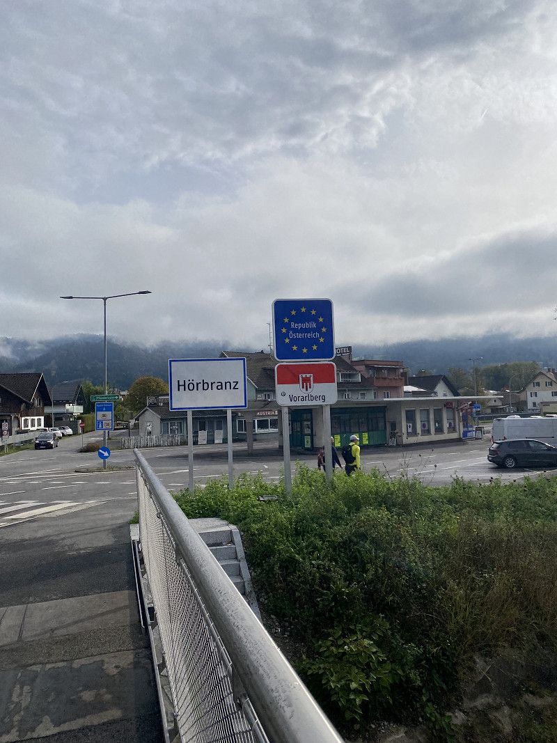
• Take exit 128 toward Bregenz/Lindau onto A96. Go for 63.7 km.
• Take exit 2 toward Lindau/Nonnenhorn/Wasserburg (Bodensee)/Bodolz onto A96. Go for 588 m.
• Take the 3rd exit from roundabout onto Robert-Bosch-Straße (B12) toward Nonnenhorn/Bodolz/Lindau Insel. Go for 371 m.
• Turn left onto Bregenzer Straße (B12). Go for 1.2 km.
• Turn right onto Innerer Siedlerweg. Go for 157 m.
• Arrive at your destination on the left.
☍
339,2 km
(3 hrs. 27 min.)
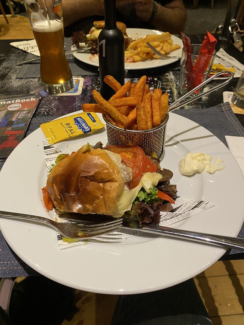
HeimatRock
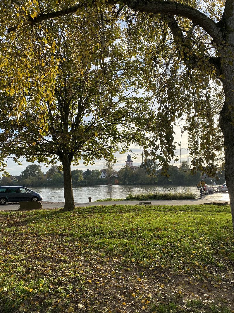
We came via Landvergnügen and are parked in the restaurant car park. Ladenburg is very beautiful and the old town is within walking distance. A lovely walk along the Neckar.
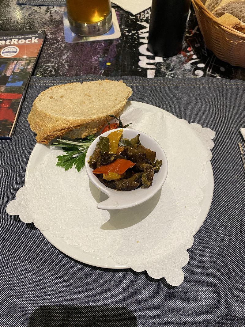
The food at HeimatRock was delicious and everyone was super friendly.
Day
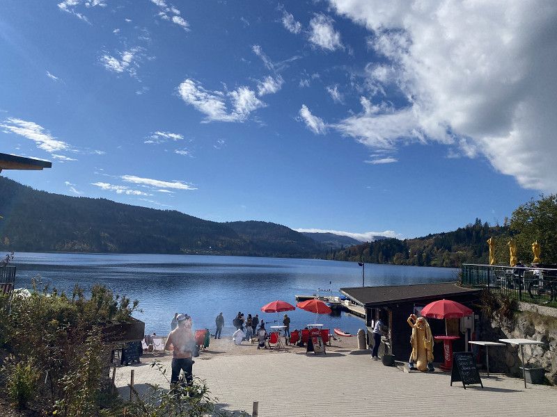
Park-Camping Lindau
Large campsite. But very nicely located on the lake. Our other alternatives were closed or cancelled. That's why we're staying 2 nights. We called quickly before we arrived.
Fraunhoferstraße 20, 88131, Lindau-Zech, Germany
47° 32' 16.1" N 9° 43' 52.1" E
47.5378167 9.7311333
• Head southwest.
• Arrive at your destination on the left.
☍
Distance not available
(Duration not available)
Day
Park-Camping Lindau
We hiked to Bregenz and looked at the old town there.
Fraunhoferstraße 20, 88131, Lindau-Zech, Germany
47° 32' 16.1" N 9° 43' 52.1" E
47.5378167 9.7311333
• Head northeast. Go for 32 m.
• Continue on Innerer Siedlerweg. Go for 125 m.
• Turn left onto Bregenzer Straße (B12). Go for 1.1 km.
• Turn left onto Bregenzer Straße (B12) toward Lindau Insel/Bodenseeklinik. Go for 1.8 km.
• Take the 2nd exit from Berliner Platz roundabout onto Kemptener Straße (B12) toward Kempten/P+R. Go for 768 m.
• Turn right onto Reutiner Straße. Go for 108 m.
• Enter the roundabout. Go for 25 m.
• Arrive at your destination.
☍
4,0 km
( 7 min.)
Day
Reutiner Straße
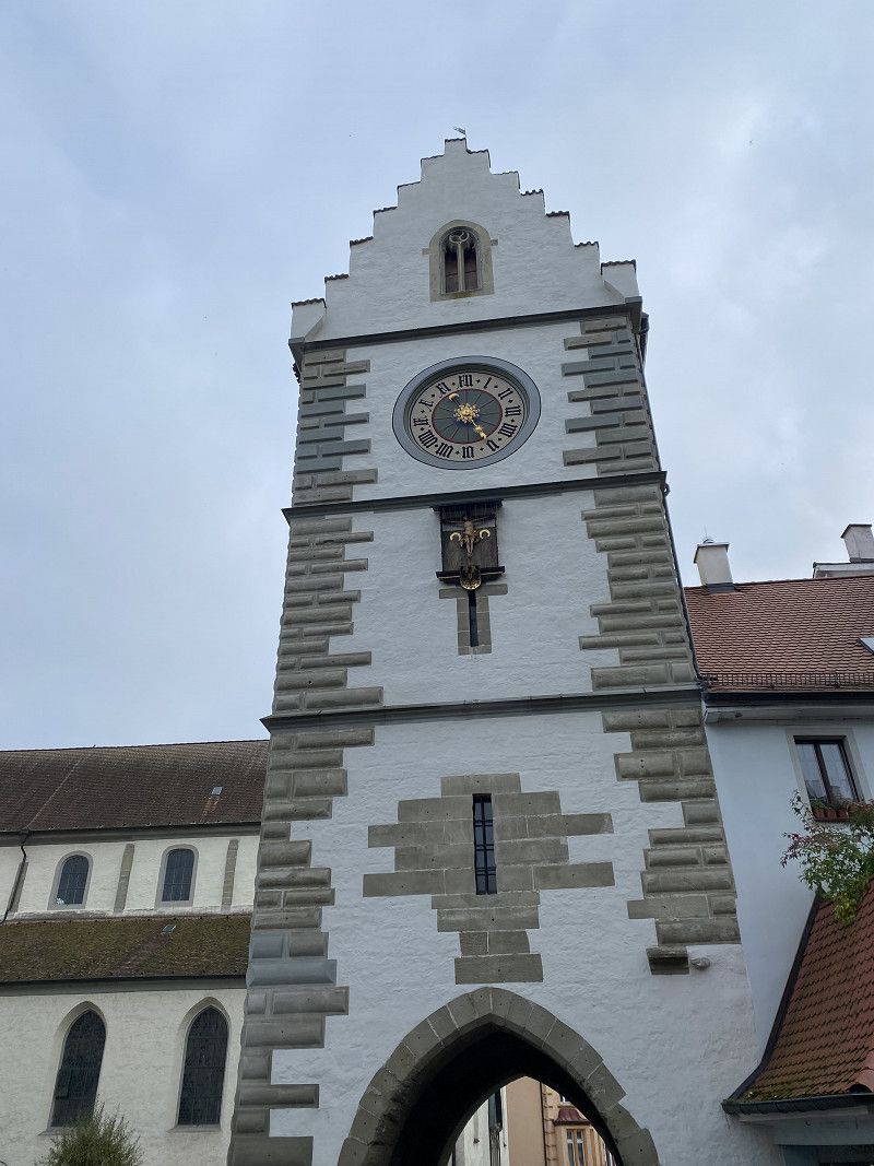
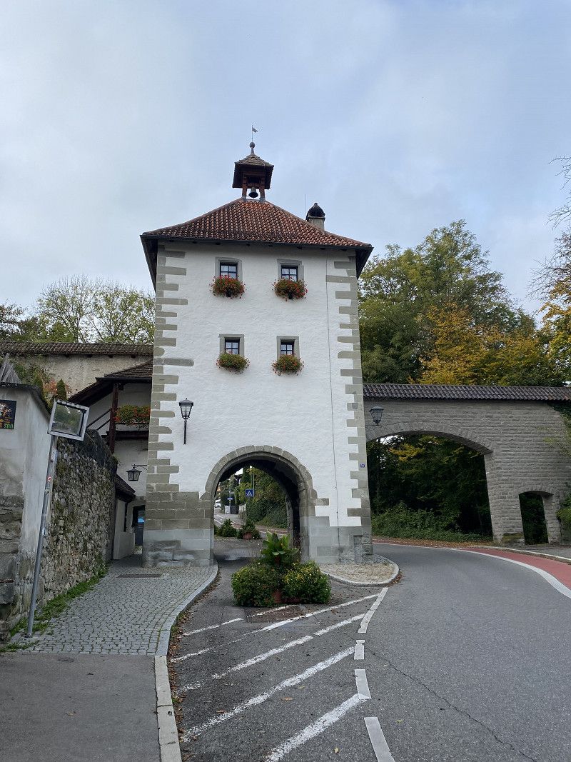
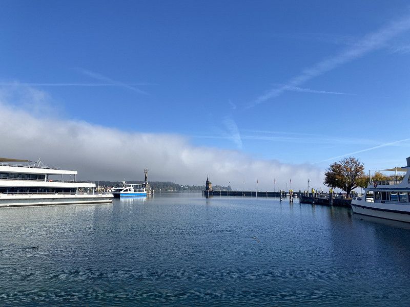
To visit Lindau, we parked in one of the school parking lots near the school center. This is permitted on days when there is no school. Lindau's old town is within walking distance.
Landkreis Lindau, Bayern, Deutschland
47° 33' 32.5" N 9° 42' 20.5" E
47.5590406 9.7056826
• Follow the roundabout. Go for 28 m.
• Take the 3rd exit from roundabout onto Reutiner Straße. Go for 108 m.
• Turn right onto Kemptener Straße (B12). Go for 681 m.
• Pass 2 roundabouts and continue on B12. Go for 1.6 km.
• Turn left and take ramp onto B31. Go for 33.9 km.
• Continue on B31 toward Donaueschingen/Meersburg. Go for 4.9 km.
• Keep left onto B31 toward Stuttgart/Singen/Stockach/Überlingen/Uhldingen-Mühlhofen. Go for 12.6 km.
• Take ramp toward Ludwigshafen/Sipplingen/Üb.-Therme/Krankenhaus/P+R. Go for 214 m.
• Take the 2nd exit from roundabout toward Üb.-Therme/P+R/Ludwigshafen/Sipplingen. Go for 153 m.
• Take the 1st exit from roundabout onto B31 toward Ludwigshafen/Sipplingen/Üb.-Therme/Krankenhaus/P+R. Go for 2.9 km.
• Turn left toward Stuttgart/Singen/Stockach/Bonndorf/Krankenhaus. Go for 312 m.
• Turn left onto Aufkircher Straße toward Überlingen/Krankenhaus. Go for 157 m.
• Take the 1st exit from roundabout onto Kurt-Hahn-Straße. Go for 262 m.
• Turn right. Go for 25 m.
• Arrive at your destination on the left.
☍
57,8 km
( 55 min.)
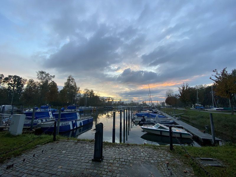
Reisemobilhafen Überlingen
About p4n.
After Lindau we visited Überlingen. It is easy to reach on foot from the campsite. The campsite has electricity, grey water and chemical toilets can be disposed of. There is an Edeka directly at the entrance to the campsite.
Place. Public toilets opposite Edeka, 50 cents, very dirty when we were there, no toilet paper.
Kurt-Hahn-Str., 88662, Überlingen, Germany
47° 46' 33.6" N 9° 8' 54.3" E
47.7760027 9.1484111
• Head toward Kurt-Hahn-Straße. Go for 25 m.
• Turn left onto Kurt-Hahn-Straße. Go for 246 m.
• Take the 3rd exit from roundabout onto Aufkircher Straße. Go for 206 m.
• Turn right toward Lindau/Pfullendorf/Meersburg. Go for 311 m.
• Turn left onto B31. Go for 9.0 km.
• Turn left onto Hauptstraße (B34) toward Konstanz/Radolfzell/Bodman. Go for 11.4 km.
• Take ramp onto B33 toward Konstanz. Go for 19.4 km.
• Continue on A7. Go for 709 m.
• Take the 2nd exit from Anschlussstelle Kreuzlingen Nord roundabout toward Romanshorn/13/Schaffhausen/Tägerwilen. Go for 199 m.
• Take the 2nd exit from roundabout onto Tägerwilerstrasse (13) toward 1/Frauenfeld/Romanshorn/Kreuzlingen/Konstanz. Go for 346 m.
• Take the 1st exit from roundabout onto Konstanzerstrasse (1/13). Go for 304 m.
• Take the 3rd exit from roundabout onto Bahnhofstrasse (13). Go for 354 m.
• Take the 2nd exit from roundabout onto Hafenstrasse (13). Go for 917 m.
• Take the 4th exit from roundabout onto Seestrasse. Go for 286 m.
• Arrive at Seestrasse. Your destination is on the right.
☍
43,7 km
( 45 min.)
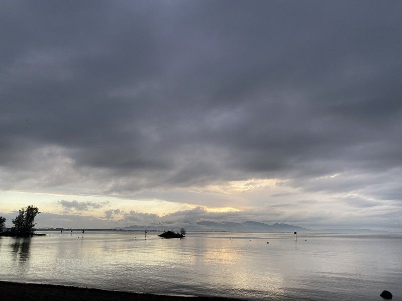
Day
Seestrasse
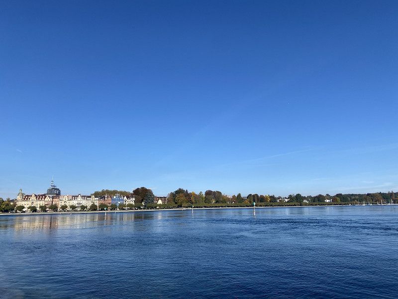
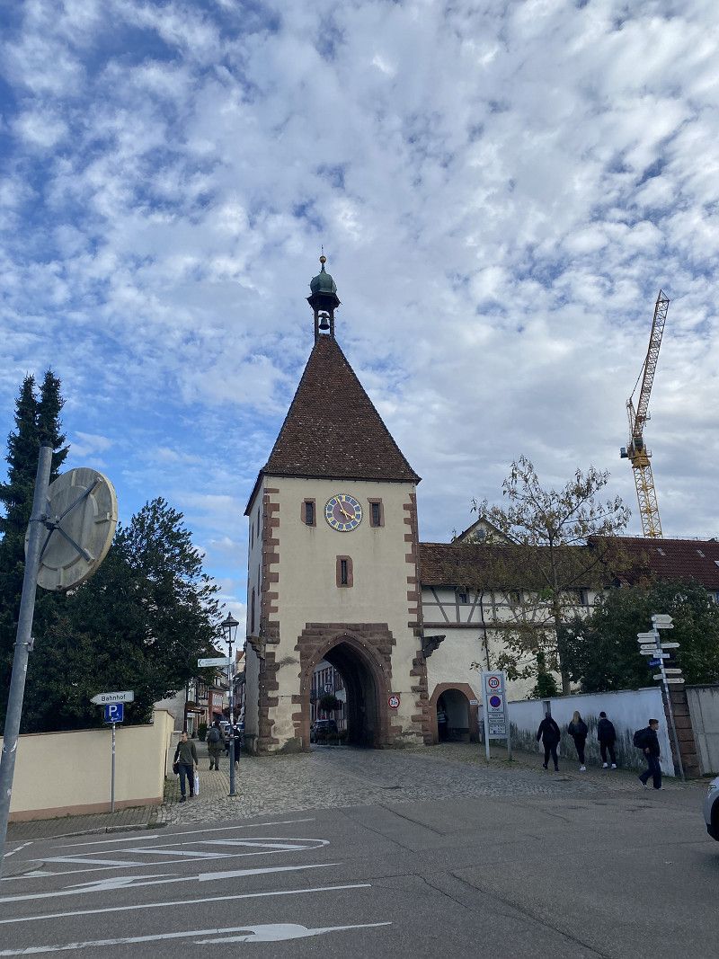
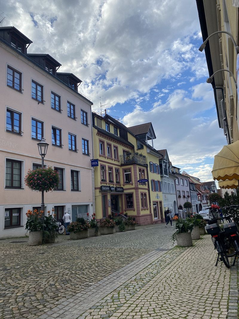
Via p4n. 15 minutes to Konstanz. Nice place where you can stay for 2 nights. Payment at the machine. We looked around Konstanz and spent a lovely afternoon and evening with friends. In the evening we went to a restaurant at Konstanz harbor.
Seestrasse 45, Kreuzlingen, Bezirk Kreuzlingen, Thurgau, Schweiz
47° 39' 4.9" N 9° 10' 51.4" E
47.6513643 9.1809374
• Head southeast on Seestrasse. Go for 241 m.
• Take the 1st exit from roundabout onto Hafenstrasse (13). Go for 895 m.
• Pass 2 roundabouts and continue on Konstanzerstrasse (1/13). Go for 655 m.
• Take the 3rd exit from roundabout onto Tägerwilerstrasse (13). Go for 287 m.
• Keep right toward Konstanz. Go for 112 m.
• Turn right toward A7. Go for 97 m.
• Continue on A7. Go for 646 m.
• Continue on B33. Go for 14.1 km.
• Take ramp toward Markelfingen. Go for 496 m.
• Take the 1st exit from roundabout onto K6170 toward Markelfingen. Go for 4.2 km.
• Take the 3rd exit from roundabout onto Konstanzer Straße. Go for 1.1 km.
• Take the 2nd exit from roundabout onto Strandbadstraße. Go for 251 m.
• Take the 2nd exit from roundabout onto Strandbadstraße. Go for 164 m.
• Turn right toward Strandbadstraße. Go for 18 m.
• Turn left onto Strandbadstraße. Go for 39 m.
• Arrive at Strandbadstraße. Your destination is on the right.
☍
23,3 km
( 27 min.)
Day
Strandbadstraße
Via p4n, the old town can be reached on foot. Sanitary facilities and waste disposal available. We set off from Konstanz and shortly afterwards we were in Radolfzell. Not as nice as the other towns on Lake Constance that we visited.
Strandbadstraße 32, Radolfzell am Bodensee, Landkreis Konstanz, Baden-Württemberg, Deutschland
47° 44' 14.3" N 8° 58' 47.1" E
47.7373017 8.9797498
• Head northeast on Strandbadstraße. Go for 39 m.
• Turn right toward Strandbadstraße. Go for 18 m.
• Turn left onto Strandbadstraße. Go for 124 m.
• Take the 2nd exit from roundabout onto Strandbadstraße. Go for 252 m.
• Take the 1st exit from roundabout onto Konstanzer Straße. Go for 1.1 km.
• Take the 3rd exit from roundabout onto Radolfzeller Straße (K6170). Go for 693 m.
• Take the 1st exit from roundabout onto L220. Go for 1.5 km.
• Continue on B34. Go for 188 m.
• Take ramp onto B33 toward Stuttgart/A81/Singen. Go for 11.3 km.
• Continue on A81. Go for 735 m.
• Take the left exit onto A81. Go for 20.2 km.
• Take exit 38 toward Geisingen/Freiburg/Tuttlingen/B31/Immendingen. Go for 413 m.
• Turn left onto B311 toward Freiburg/Donaueschingen/Geisingen. Go for 802 m.
• Keep right onto B31 toward Freiburg/Donaueschingen/Geisingen. Go for 30.2 km.
• Take ramp toward Eisenbach/Rötenbach. Go for 295 m.
• Turn left onto K4992. Go for 6.6 km.
• Turn left onto L172. Go for 124 m.
• Turn right onto K4902. Go for 29 m.
• Continue on Schwärzenbach (K4902). Go for 684 m.
• Arrive at Schwärzenbach (K4902). Your destination is on the left.
☍
75,2 km
( 53 min.)
Day
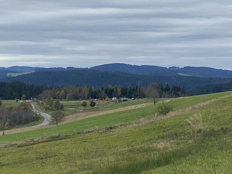
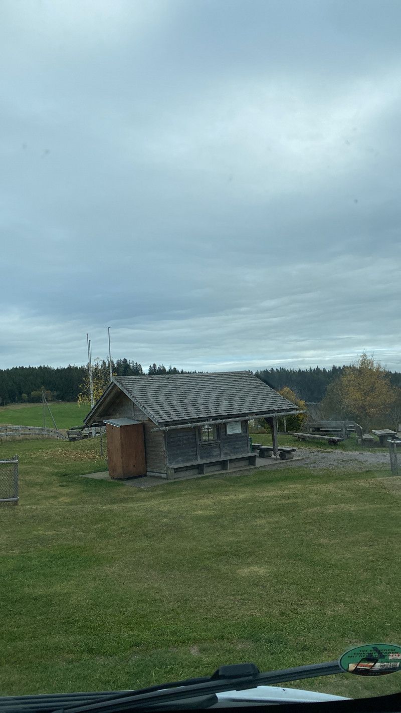
Schwärzenbach
Via p4n. Picnic parking area with composting toilet. Many hikes possible. We went on a hike and then enjoyed the rest of the day and evening. The parking is free from April to October, November is March and you have to pay.
Schwärzenbach 19, Titisee-Neustadt, Landkreis Breisgau-Hochschwarzwald, Baden-Württemberg, Deutschland
47° 56' 56.8" N 8° 14' 18.8" E
47.9491182 8.2385552
• Head northwest on Schwärzenbach (K4902). Go for 427 m.
• Turn left onto Schwärzenbach (K4902). Go for 2.9 km.
• Turn left onto Langenordnach (K4985). Go for 2.3 km.
• Turn right onto Freiburger Straße (L156). Go for 215 m.
• Pass 2 roundabouts and continue on Neustädter Straße. Go for 3.3 km.
• Arrive at Neustädter Straße.
☍
9,1 km
( 11 min.)
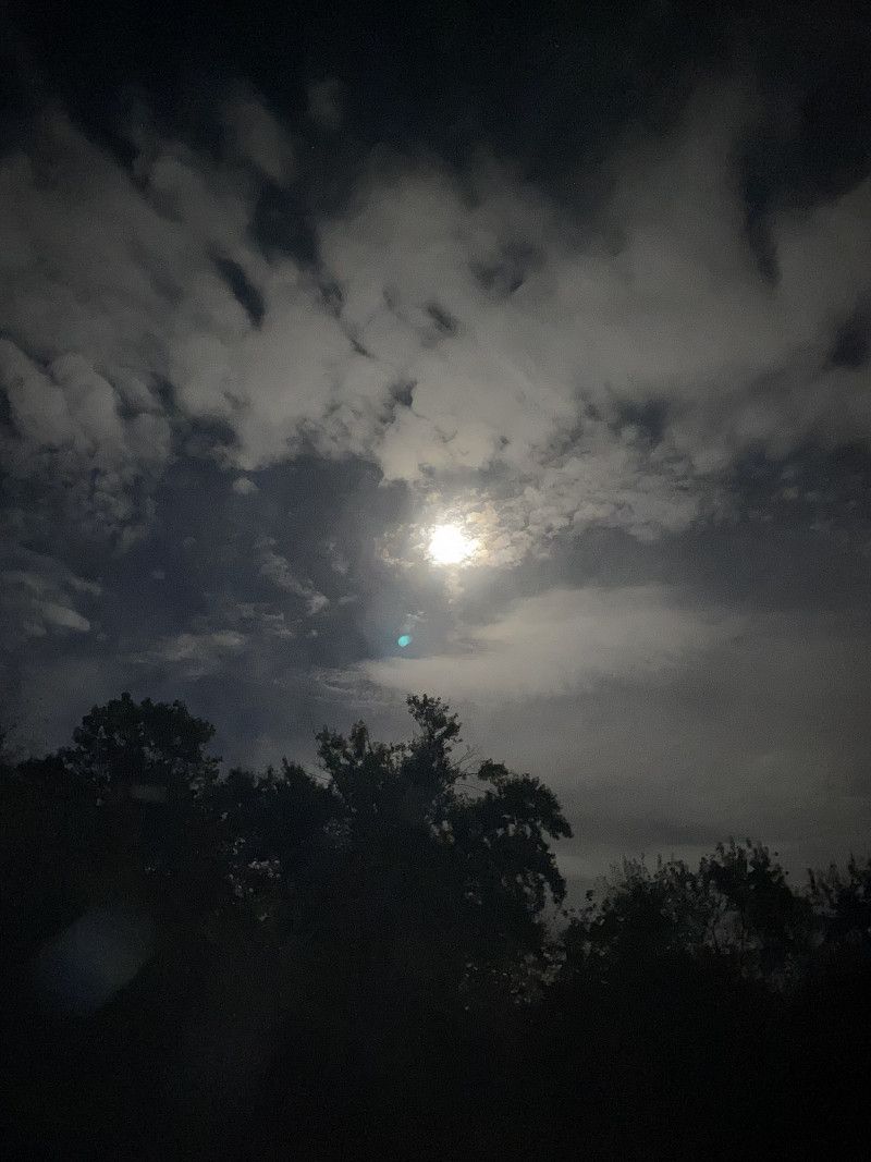
Day
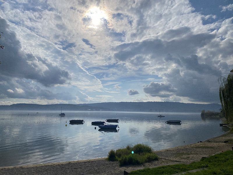
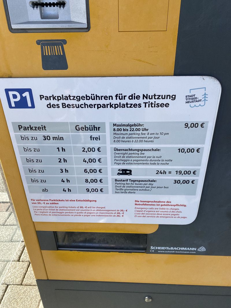
Titisee
After waking up in fog, a short stop at sunny Titisee. Parking available overnight or just for a few hours.
Neustädter Straße, Titisee, Landkreis Breisgau-Hochschwarzwald, Baden-Württemberg, Deutschland
47° 54' 25.7" N 8° 9' 29.6" E
47.9071514 8.1582318
• Head toward Am Badeparadies on Neustädter Straße. Go for 135 m.
• Take the 3rd exit from roundabout onto Neustädter Straße (L156) toward Freiburg/Titisee/Neustadt/Krankenhaus/Helios-Klinik/Gewerbegebiet Titisee/Gewerbegebiet Neustadt-West/Hochfirstschanze. Go for 356 m.
• Turn left and take ramp onto B31 toward Freiburg/Titisee/Triberg/B500. Go for 35.3 km.
• Take ramp onto A5 toward Karlsruhe. Go for 16.2 km.
• Take exit 59 toward Riegel/Sasbach (Rhein)/Endingen. Go for 266 m.
• Turn right onto L113 toward Riegel/Frankreich/Sasbach (Rhein)/Endingen/Marckolsheim. Go for 3.4 km.
• Take the 3rd exit from roundabout onto L113 toward Marckolsheim/Sasbach a.K./Wyhl a.K./Endingen a.K. Go for 2.3 km.
• Take the 3rd exit from roundabout onto K5146 toward Endingen a.K. Go for 360 m.
• Continue on Forchheimer Straße (K5146). Go for 172 m.
• Take the 2nd exit from roundabout onto Forchheimer Straße (K5146). Go for 656 m.
• Turn right onto Königschaffhauser Straße (K5146). Go for 52 m.
• Arrive at Königschaffhauser Straße (K5146). Your destination is on the right.
☍
59,3 km
( 55 min.)
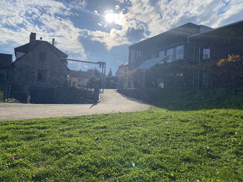
Weingut L Bastian
About Landvergnügen. The parking space is close to the old town of Endingen am Kaiserstuhl. Lidl, Aldi, Edeka, dm are also within walking distance. Very friendly welcome and a great wine tasting. A few bottles are also coming home with us 😊.
Königschaffhauser Straße 6, Endingen, Landkreis Emmendingen, Baden-Württemberg, Deutschland
48° 8' 34.2" N 7° 41' 58.4" E
48.1428363 7.6995590
• Head east on Königschaffhauser Straße (K5146). Go for 52 m.
• Turn left onto Forchheimer Straße (K5146). Go for 617 m.
• Take the 2nd exit from roundabout onto Forchheimer Straße (K5146). Go for 206 m.
• Continue on K5146. Go for 267 m.
• Take the 1st exit from roundabout onto L113 toward A5/Emmendingen/Riegel a.K. Go for 2.2 km.
• Take the 1st exit from roundabout onto L113 toward A5/Emmendingen/Riegel a.K. Go for 3.4 km.
• Turn left and take ramp onto A5 toward Karlsruhe. Go for 106 km.
• Take exit 48 toward Karlsruhe-Süd/Rheinstetten/Messe KA/Landau (Pfalz)/Ettlingen Gewerbegebiet. Go for 395 m.
• Turn left onto B3 toward Karlsruhe/Landau (Pfalz)/Rheinstetten/Ettlingen-West/Gewerbegebiet Ettlingen. Go for 976 m.
• Continue on L605. Go for 3.5 km.
• Take ramp onto K9657 toward Landau/KA-Neureut/Rheinhafen. Go for 2.4 km.
• Continue on B10. Go for 7.8 km.
• Keep left onto B10. Go for 160 m.
• Continue on A65. Go for 43.8 km.
• Take exit 11 toward Deidesheim/Bad Dürkheim onto B271. Go for 12.0 km.
• Turn right onto B271. Go for 260 m.
• Turn left onto B37 toward Kaiserslautern/Grünstadt/B271. Go for 928 m.
• Turn right toward Grünstadt/Ungstein. Go for 559 m.
• Continue on Altenbacher Straße. Go for 362 m.
• Take the 1st exit from roundabout onto Wormser Straße (L455). Go for 2.3 km.
• Turn left onto K4. Go for 293 m.
• Continue on Freinsheimer Straße (K4). Go for 1.4 km.
• Turn right onto Weinstraße (B271). Go for 5.4 km.
• Turn right onto L520 toward Altleiningen/Kleinkarlbach/Kirchheim-West. Go for 160 m.
• Turn right onto L520. Go for 296 m.
• Arrive at Kleinkarlbacher Straße (L520). Your destination is on the left.
☍
195,2 km
(2 hrs. 2 min.)
Day
Weingut Kohl -Spieß
About Landvergnügen Winery.
After arriving, we enjoyed the beautiful meadow we were standing on and then went on a short hike along the stream and back through the vineyards. Then there was a wine tasting and we brought a few more bottles of wine with us.
Kleinkarlbacher Straße 12, Kirchheim an der Weinstraße, Landkreis Bad Dürkheim, Rheinland-Pfalz, Deutschland
49° 32' 16.8" N 8° 10' 35.4" E
49.5379942 8.1765133
• Head toward Triftweg on Kleinkarlbacher Straße (L520). Go for 328 m.
• Turn left onto Weinstraße Nord (L516). Go for 687 m.
• Continue on In den Schloßäckern (L516). Go for 118 m.
• Continue on L516. Go for 559 m.
• Turn right onto B271 toward A6/Grünstadt. Go for 211 m.
• Take ramp onto A6 toward Mannheim. Go for 27.3 km.
• Take the left exit toward Hannover/Frankfurt/Köln/Darmstadt onto A67. Go for 34.8 km.
• Continue on E451 (Darmstädter Kreuz) toward Hannover/Dortmund/Frankfurt/A5. Go for 856 m.
• Continue on A5. Go for 70.8 km.
• Take exit 11 toward Köln/Dortmund/Wetzlar/Marburg/Gießen onto A45. Go for 134 km.
• Take the exit toward Halver/Lüdenscheid. Go for 240 m.
• Continue on Brunscheider Straße (L655). Go for 322 m.
• Turn right onto Werdohler Landstraße (L691) toward Altena/Lüdenscheid. Go for 235 m.
• Turn right onto Lennestraße (L691). Go for 1.9 km.
• Keep left onto Rahmedestraße (L691). Go for 749 m.
• Keep right onto Rahmedestraße. Go for 278 m.
• Turn right onto Heedfelder Straße (L561). Go for 3.3 km.
• Turn right onto L692. Go for 1.6 km.
• Take the 3rd exit from roundabout onto A45 toward Dortmund. Go for 26.8 km.
• Take the exit toward Dortmund onto B54 (Ruhrwaldstraße). Go for 8.1 km.
• Turn left onto Ruhrallee (B54) toward Kliniken Mitte/Wallring/Lünen. Go for 137 m.
• Turn right onto Ostwall (B54) toward Lünen/Wallring. Go for 701 m.
• Keep left onto Schwanenwall (B54) toward Lünen. Go for 378 m.
• Keep left onto Burgwall (B54) toward A1/A44/A45/A40/Lünen/Hagen/Do-Huckarde. Go for 372 m.
• Continue on Königswall (B54) toward B1/DO-Huckarde/Hagen. Go for 106 m.
• Turn left onto Hansastraße. Go for 286 m.
• Turn slightly left onto Kampstraße. Go for 101 m.
• Arrive at Kampstraße. Your destination is on the right.
☍
315,4 km
(3 hrs. 17 min.)
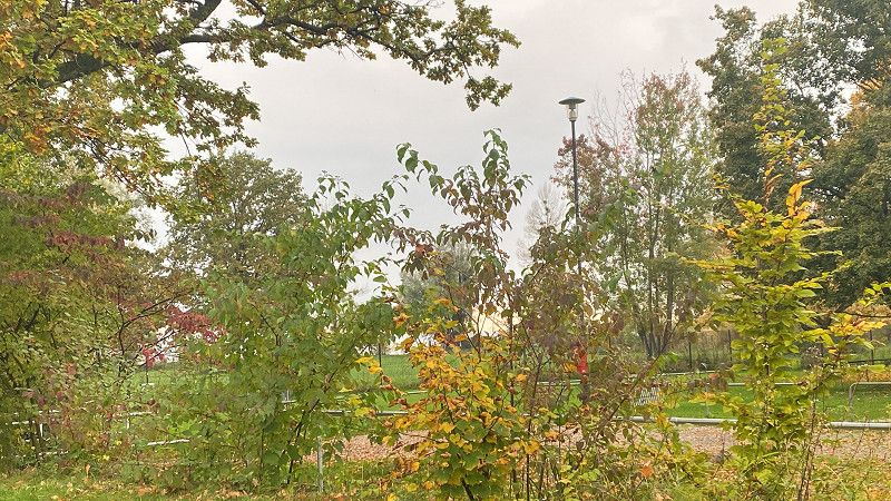
Day
Dortmund
Woke up in fog. After a leisurely breakfast we drove home.
Nordrhein-Westfalen, Deutschland
51° 30' 51.2" N 7° 27' 55" E
51.5142273 7.4652789